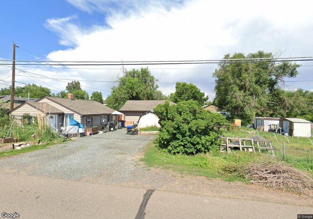
1300 Union St Lakewood, CO 80401
Daniels NeighborhoodEstimated Value: $396,000 - $529,000
2
Beds
1
Bath
782
Sq Ft
$599/Sq Ft
Est. Value
About This Home
This home is located at 1300 Union St, Lakewood, CO 80401 and is currently estimated at $468,521, approximately $599 per square foot. 1300 Union St is a home located in Jefferson County with nearby schools including Welchester Elementary School, Bell Middle School, and Golden High School.
Ownership History
Date
Name
Owned For
Owner Type
Purchase Details
Closed on
Oct 5, 2018
Sold by
G & E Llc
Bought by
Dennis Robert
Current Estimated Value
Home Financials for this Owner
Home Financials are based on the most recent Mortgage that was taken out on this home.
Original Mortgage
$232,425
Outstanding Balance
$202,688
Interest Rate
4.5%
Mortgage Type
New Conventional
Estimated Equity
$265,833
Purchase Details
Closed on
Oct 21, 2014
Sold by
The Agnes E Fryer Revocable Trust
Bought by
G & E Llc
Home Financials for this Owner
Home Financials are based on the most recent Mortgage that was taken out on this home.
Original Mortgage
$113,600
Interest Rate
4%
Mortgage Type
Seller Take Back
Purchase Details
Closed on
Oct 28, 1997
Sold by
Fryer Agnes E
Bought by
The Agnes E Fryer Revocable Trust
Create a Home Valuation Report for This Property
The Home Valuation Report is an in-depth analysis detailing your home's value as well as a comparison with similar homes in the area
Home Values in the Area
Average Home Value in this Area
Purchase History
| Date | Buyer | Sale Price | Title Company |
|---|---|---|---|
| Dennis Robert | $309,900 | Homestead Title & Escrow | |
| G & E Llc | $142,000 | Homestead Title & Escrow | |
| The Agnes E Fryer Revocable Trust | -- | -- |
Source: Public Records
Mortgage History
| Date | Status | Borrower | Loan Amount |
|---|---|---|---|
| Open | Dennis Robert | $232,425 | |
| Previous Owner | G & E Llc | $113,600 |
Source: Public Records
Tax History Compared to Growth
Tax History
| Year | Tax Paid | Tax Assessment Tax Assessment Total Assessment is a certain percentage of the fair market value that is determined by local assessors to be the total taxable value of land and additions on the property. | Land | Improvement |
|---|---|---|---|---|
| 2024 | $2,459 | $27,201 | $15,604 | $11,597 |
| 2023 | $2,459 | $27,201 | $15,604 | $11,597 |
| 2022 | $2,201 | $23,794 | $12,169 | $11,625 |
| 2021 | $2,233 | $24,479 | $12,519 | $11,960 |
| 2020 | $1,859 | $20,470 | $11,276 | $9,194 |
| 2019 | $1,835 | $20,470 | $11,276 | $9,194 |
| 2018 | $1,634 | $17,623 | $8,016 | $9,607 |
| 2017 | $1,785 | $17,623 | $8,016 | $9,607 |
| 2016 | $1,187 | $13,580 | $4,728 | $8,852 |
| 2015 | $999 | $13,580 | $4,728 | $8,852 |
| 2014 | $999 | $10,475 | $5,349 | $5,126 |
Source: Public Records
Map
Nearby Homes
- 1356 Urban St
- 11940 W Independence Ave
- 11885 W Katherine Ave
- 1555 Swadley St
- 11670 W Katherine Ave
- 1540 Simms St
- 12362 W 16th Dr
- 1678 Tabor St
- 1190 Youngfield St
- 11845 W 17th Ave
- 11813 W 17th Ave
- 880 Vivian St
- 985 Tabor St
- 1050 Youngfield St
- 12075 W 18th Dr
- 835 Urban St
- 983 Xenon Ct
- 1345 Youngfield St
- 1723 Robb St Unit 45
- 1723 Robb St Unit 26
- 11967 W 13th Ave
- 11945 W 13th Ave
- 11980 W Security Ave
- 11976 W Security Ave
- 11940 W Security Ave
- 1365 Union St
- 11923 W 13th Ave
- 11960 W 13th Ave
- 1375 Union St
- 1375 Union St Unit B
- 1375 Union St Unit A
- 11920 W Security Ave
- 11920 W 13th Ave
- 11986 W 13th Ave
- 11913 W 13th Ave
- 11916 W 13th Ave
- 12030 W 13th Ave
- 11910 W Security Ave
- 1316 Urban St
- 1385 Union St