1300 W Adson Rd Wasilla, AK 99654
Estimated Value: $226,796
--
Bed
--
Bath
864
Sq Ft
$262/Sq Ft
Est. Value
About This Home
This home is located at 1300 W Adson Rd, Wasilla, AK 99654 and is currently estimated at $226,796, approximately $262 per square foot. 1300 W Adson Rd is a home located in Matanuska-Susitna Borough with nearby schools including Snowshoe Elementary School, Wasilla Middle School, and Wasilla High School.
Ownership History
Date
Name
Owned For
Owner Type
Purchase Details
Closed on
Jun 8, 2010
Sold by
Williams Cherish C
Bought by
Williams Duane H and Williams Cherish C
Current Estimated Value
Home Financials for this Owner
Home Financials are based on the most recent Mortgage that was taken out on this home.
Original Mortgage
$70,000
Outstanding Balance
$47,052
Interest Rate
5.03%
Mortgage Type
New Conventional
Estimated Equity
$177,436
Purchase Details
Closed on
Aug 22, 2005
Sold by
Goldsmith Dixie L
Bought by
Williams Cherish C
Create a Home Valuation Report for This Property
The Home Valuation Report is an in-depth analysis detailing your home's value as well as a comparison with similar homes in the area
Home Values in the Area
Average Home Value in this Area
Purchase History
| Date | Buyer | Sale Price | Title Company |
|---|---|---|---|
| Williams Duane H | -- | Mckinley Title & Trust Inc | |
| Williams Cherish C | -- | -- |
Source: Public Records
Mortgage History
| Date | Status | Borrower | Loan Amount |
|---|---|---|---|
| Open | Williams Duane H | $70,000 |
Source: Public Records
Tax History Compared to Growth
Tax History
| Year | Tax Paid | Tax Assessment Tax Assessment Total Assessment is a certain percentage of the fair market value that is determined by local assessors to be the total taxable value of land and additions on the property. | Land | Improvement |
|---|---|---|---|---|
| 2025 | $1,970 | $161,300 | $67,800 | $93,500 |
| 2024 | $1,970 | $157,900 | $67,800 | $90,100 |
| 2023 | $1,910 | $156,800 | $67,800 | $89,000 |
| 2022 | $1,927 | $148,400 | $67,800 | $80,600 |
| 2021 | $2,002 | $139,300 | $67,800 | $71,500 |
| 2020 | $2,038 | $137,400 | $67,800 | $69,600 |
| 2019 | $1,988 | $132,900 | $67,800 | $65,100 |
| 2018 | $1,942 | $130,500 | $67,800 | $62,700 |
| 2017 | $1,985 | $133,400 | $67,800 | $65,600 |
| 2016 | $1,951 | $134,500 | $67,800 | $66,700 |
| 2015 | $1,854 | $129,700 | $63,200 | $66,500 |
| 2014 | $1,854 | $132,800 | $63,200 | $69,600 |
Source: Public Records
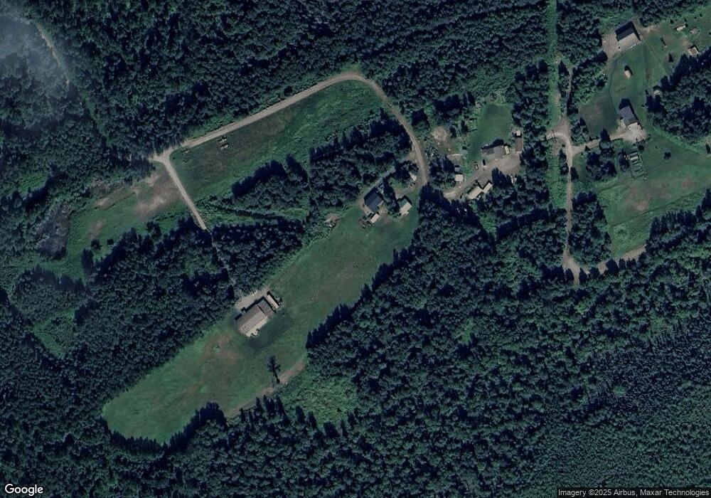
Map
Nearby Homes
- 1901 W Cottonwood Creek Dr
- 1745 W Riffle St
- 1890 S Endeavor St
- 392 W Dorothy Jean Dr
- 962 W Berry Cir
- 2150 S Endeavor St
- 1090 W Bluff View Dr
- 7503 S Knik Goose Bay Rd
- 2421 W Sunlight Ln
- 2475 W Sunlight Ln
- 1840 W Pipestone Dr
- 2450 S Knik Goose Bay Rd
- 12557 S Knik Goose Bay Rd
- 3140 S Heritage Farm Rd
- 1880 S Endeavor St
- 308 E Birchtree Dr
- 1690 W Valley Ridge Dr
- 1780 S Alliance Country Dr
- 1756 S Alliance Country Dr
- 1610 W Valley Ridge Dr
- 1250 W Adson Rd
- 1400 W Adson Rd
- 800 Adson Rd
- 500 Adson Rd
- Tr A Adson Rd
- 1151 W Adson Rd
- 1500 W Rivulet Ave
- 1560 W Rivulet Ave
- 3157 S Cataract St
- 3200 S Cataract St
- Tr A Clydesdale
- 3580 S Weeping Birch St
- 3123 S Cataract St
- 3123 S Cataract St
- 1600 W Rivulet Ave
- 3150 S Cataract St
- 3201 S Story Book Cir
- L2 B1 Clydesdale
- 1000 W Adson Rd
- 3165 S Story Book Cir