13000 Cassie Ln Chesterland, OH 44026
Estimated Value: $376,000 - $561,085
3
Beds
3
Baths
2,320
Sq Ft
$195/Sq Ft
Est. Value
About This Home
This home is located at 13000 Cassie Ln, Chesterland, OH 44026 and is currently estimated at $452,771, approximately $195 per square foot. 13000 Cassie Ln is a home located in Geauga County with nearby schools including West Geauga High School, St Anselm School, and Notre Dame Elementary School.
Ownership History
Date
Name
Owned For
Owner Type
Purchase Details
Closed on
Jul 27, 2024
Sold by
Markiewich Family Trust and Markiewich Stephen J
Bought by
Markiewich Stephen J and Markiewich Laurinda M
Current Estimated Value
Purchase Details
Closed on
Jun 23, 2005
Sold by
Markiewich Laurinda M and Markiewich Stephen J
Bought by
Markiewich Stephen J and Markiewich Laurinda M
Purchase Details
Closed on
May 4, 2004
Sold by
Kunsman Laurinda M and Markiewich Laurinda M
Bought by
Markiewich Laurinda M
Home Financials for this Owner
Home Financials are based on the most recent Mortgage that was taken out on this home.
Original Mortgage
$206,500
Interest Rate
3%
Mortgage Type
New Conventional
Purchase Details
Closed on
Dec 15, 1993
Sold by
Rl Design Builders
Bought by
Kunsman Laurinda M
Create a Home Valuation Report for This Property
The Home Valuation Report is an in-depth analysis detailing your home's value as well as a comparison with similar homes in the area
Home Values in the Area
Average Home Value in this Area
Purchase History
| Date | Buyer | Sale Price | Title Company |
|---|---|---|---|
| Markiewich Stephen J | -- | None Listed On Document | |
| Markiewich Stephen J | -- | None Available | |
| Markiewich Laurinda M | -- | Chicago Title Insurance Comp | |
| Kunsman Laurinda M | $277,700 | -- |
Source: Public Records
Mortgage History
| Date | Status | Borrower | Loan Amount |
|---|---|---|---|
| Previous Owner | Markiewich Laurinda M | $206,500 |
Source: Public Records
Tax History Compared to Growth
Tax History
| Year | Tax Paid | Tax Assessment Tax Assessment Total Assessment is a certain percentage of the fair market value that is determined by local assessors to be the total taxable value of land and additions on the property. | Land | Improvement |
|---|---|---|---|---|
| 2024 | $6,958 | $160,580 | $40,320 | $120,260 |
| 2023 | $6,958 | $160,580 | $40,320 | $120,260 |
| 2022 | $6,271 | $124,080 | $33,600 | $90,480 |
| 2021 | $6,251 | $124,080 | $33,600 | $90,480 |
| 2020 | $6,498 | $124,080 | $33,600 | $90,480 |
| 2019 | $609 | $112,280 | $33,600 | $78,680 |
| 2018 | $6,040 | $112,280 | $33,600 | $78,680 |
| 2017 | $6,089 | $112,280 | $33,600 | $78,680 |
| 2016 | $6,497 | $113,230 | $39,270 | $73,960 |
| 2015 | $6,018 | $113,230 | $39,270 | $73,960 |
| 2014 | $6,018 | $113,230 | $39,270 | $73,960 |
| 2013 | $6,061 | $113,230 | $39,270 | $73,960 |
Source: Public Records
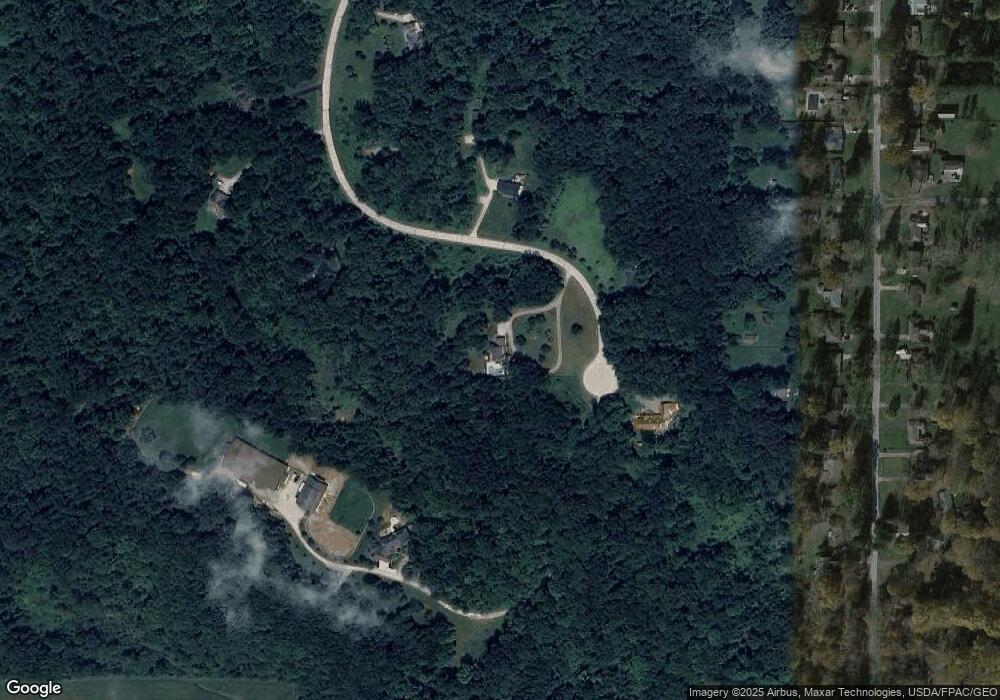
Map
Nearby Homes
- 9502 Winchester Valley
- 9475 Mayfield Rd
- 12790 Heath Rd
- 9448 Mayfield Rd
- 8949 Ranch Dr
- 13610 Sperry Rd
- 13655 Sperry Rd
- 8701 Mayfield Rd Unit 194
- 8735 Cedar Rd
- 10263 Wye Rd
- 8547 Camelot Dr
- 0 Cedar Rd
- 8986 Fairmount Rd
- 12084 Heath Rd
- 9610 Wilson Mills Rd
- 13031 Dorothy Dr
- 9710 Wilson Mills Rd
- 13228 Boulder Glen Dr
- 10571 Mayfield Rd
- 11865 Africa Acres Dr
- 12965 Cassie Ln
- 12995 Cassie Ln
- 12980 Cassie Ln
- 13015 Cassie Ln
- 13005 Cassie Ln
- 12950 Cassie Ln
- 12905 Cassie Ln
- 12900 Cassie Ln
- 12980 Kenyon Dr
- 12990 Kenyon Dr
- 12970 Kenyon Dr
- 12962 Kenyon Dr
- 13000 Kenyon Dr
- 13010 Kenyon Dr
- 12954 Kenyon Dr
- 13030 Kenyon Dr
- 12940 Kenyon Dr
- 12932 Kenyon Dr
- 13040 Kenyon Dr
- 13050 Kenyon Dr