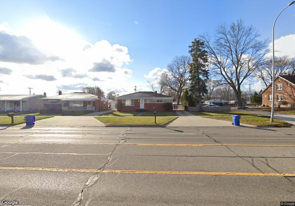
13000 E 12 Mile Rd Warren, MI 48088
Northeast Warren NeighborhoodEstimated Value: $236,000 - $254,000
About This Home
This home is located at 13000 E 12 Mile Rd, Warren, MI 48088 and is currently estimated at $244,447, approximately $195 per square foot. 13000 E 12 Mile Rd is a home located in Macomb County with nearby schools including Warren Woods Tower High School, Frontier International Academy Elementary, and Warren Woods Christian School.
Ownership History
We collect this data history from publicly available records. To have your information removed, we recommend requesting removal directly through your county’s website.
Purchase Details
Home Financials for this Owner
Home Financials are based on the most recent Mortgage that was taken out on this home.Purchase Details
Home Values in the Area
Average Home Value in this Area
Purchase History
We collect this data history from publicly available records. To have your information removed, we recommend requesting removal directly through your county’s website.
| Date | Buyer | Sale Price | Title Company |
|---|---|---|---|
| -- | Devon Title Agency | ||
| $44,000 | Metro Hills Title Agency Llc |
Mortgage History
We collect this data history from publicly available records. To have your information removed, we recommend requesting removal directly through your county’s website.
| Date | Status | Borrower | Loan Amount |
|---|---|---|---|
| Open | $161,600 |
Map
- 29108 Dover Ave
- 29120 Dover Ave
- 29340 Fairfield Ave
- 28450 Suburban Dr
- 29146 Palomino Dr
- 28357 Suburban Dr
- 28263 Newport Dr
- 13646 Edwin Ct
- 28644 Imperial Dr Unit 12
- 28111 Adler Dr
- 29337 Roan Dr
- 28445 Bradner Dr
- 29619 Pinto Dr
- 29639 Malvina Dr
- 28460 Bradner Dr
- 13216 Cromie Dr
- 28013 Roan Dr
- 28482 Sutherland Dr
- 12855 Ray Dr
- 13517 Yvonne Dr
- 13012 E 12 Mile Rd
- 13024 E 12 Mile Rd
- 12980 E 12 Mile Rd
- 12953 Stanley Dr
- 12965 Stanley Dr
- 12941 Stanley Dr
- 13036 E 12 Mile Rd
- 13007 Stanley Dr
- 12929 Stanley Dr
- 13048 E 12 Mile Rd
- 12917 Stanley Dr
- 13025 E 12 Mile Rd
- 13031 Stanley Dr
- 12939 Twelve Mile Rd
- 13011 E 12 Mile Rd
- 13037 E 12 Mile Rd
- 12939 E 12 Mile Rd
- 29107 Dover Ave
- 12927 Twelve Mile Rd
- 12927 E 12 Mile Rd
Ask me questions while you tour the home.