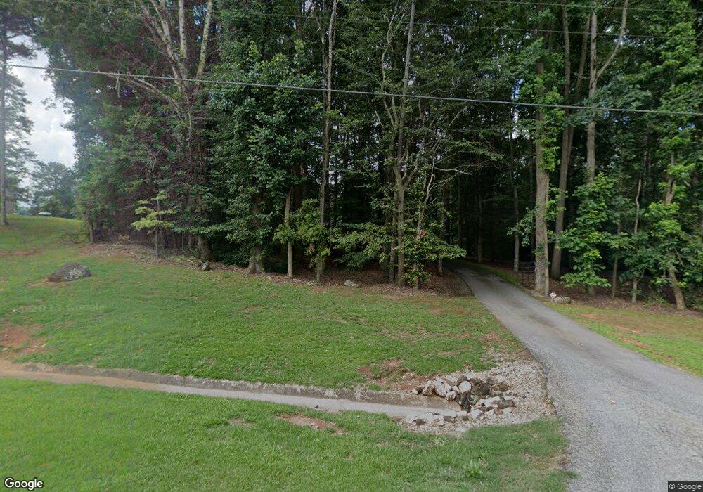
1301 Austin Rd Winder, GA 30680
Estimated Value: $438,000 - $1,060,957
4
Beds
3
Baths
2,111
Sq Ft
$322/Sq Ft
Est. Value
About This Home
This home is located at 1301 Austin Rd, Winder, GA 30680 and is currently estimated at $679,652, approximately $321 per square foot. 1301 Austin Rd is a home located in Barrow County with nearby schools including Bethlehem Elementary School, Haymon-Morris Middle School, and Apalachee High School.
Ownership History
Date
Name
Owned For
Owner Type
Purchase Details
Closed on
Jul 22, 1999
Sold by
Jackson Clarice
Bought by
Royal Chris R and Royal Tonya A
Current Estimated Value
Home Financials for this Owner
Home Financials are based on the most recent Mortgage that was taken out on this home.
Original Mortgage
$12,942
Interest Rate
7.51%
Mortgage Type
New Conventional
Purchase Details
Closed on
Dec 22, 1997
Sold by
Upgrade Homes Inc
Bought by
And Royal William C
Purchase Details
Closed on
May 15, 1997
Sold by
And Royal William C
Bought by
Upgrade Homes Inc
Purchase Details
Closed on
Apr 10, 1997
Bought by
And Royal William C
Create a Home Valuation Report for This Property
The Home Valuation Report is an in-depth analysis detailing your home's value as well as a comparison with similar homes in the area
Home Values in the Area
Average Home Value in this Area
Purchase History
| Date | Buyer | Sale Price | Title Company |
|---|---|---|---|
| Royal Chris R | $19,300 | -- | |
| And Royal William C | -- | -- | |
| And Royal William C | -- | -- | |
| Upgrade Homes Inc | -- | -- | |
| And Royal William C | $37,500 | -- |
Source: Public Records
Mortgage History
| Date | Status | Borrower | Loan Amount |
|---|---|---|---|
| Closed | And Royal William C | $12,942 |
Source: Public Records
Tax History Compared to Growth
Tax History
| Year | Tax Paid | Tax Assessment Tax Assessment Total Assessment is a certain percentage of the fair market value that is determined by local assessors to be the total taxable value of land and additions on the property. | Land | Improvement |
|---|---|---|---|---|
| 2024 | $3,922 | $325,543 | $172,376 | $153,167 |
| 2023 | $3,480 | $325,543 | $172,376 | $153,167 |
| 2022 | $3,198 | $268,201 | $172,376 | $95,825 |
| 2021 | $3,120 | $226,627 | $137,901 | $88,726 |
| 2020 | $2,751 | $151,954 | $70,327 | $81,627 |
| 2019 | $3,551 | $121,128 | $40,741 | $80,387 |
| 2018 | $2,086 | $109,201 | $40,741 | $68,460 |
| 2017 | $2,922 | $100,345 | $40,741 | $59,604 |
| 2016 | $1,732 | $89,134 | $31,119 | $58,016 |
| 2015 | $1,758 | $89,820 | $31,119 | $58,702 |
| 2014 | $1,809 | $78,992 | $19,605 | $59,388 |
| 2013 | -- | $75,281 | $19,604 | $55,676 |
Source: Public Records
Map
Nearby Homes
- 1311 Austin Rd
- 1329 Austin Rd
- 1288 Austin Rd
- 0000 Perry Sims Rd
- 0 Perry Sims Rd Unit 4167753
- 0 Perry Sims Rd Unit 4167749
- 0 Perry Sims Rd Unit 4167746
- 1332 Perry Sims Rd
- 814 Alexis Way
- 1324 Perry Sims Rd
- 1402 Carson Trail
- 1404 Carson Trail
- 808 Alexis Way
- 806 Alexis Way Unit 41
- 0 Alexis Way Unit 9044119
- 0 Alexis Way Unit 9075673
- 0 Alexis Way Unit 3210972
- 0 Alexis Way Unit 3263356
- 0 Alexis Way Unit 3284299
- 0 Alexis Way Unit 7068642
