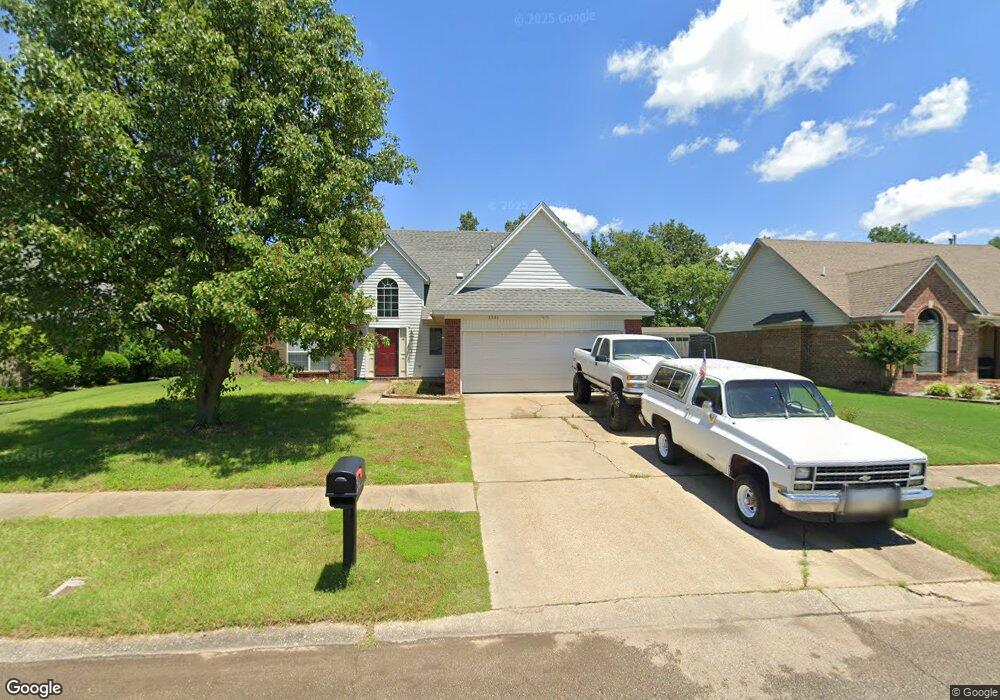
1301 Colonial Dr West Memphis, AR 72301
Estimated Value: $266,000 - $281,457
3
Beds
3
Baths
1,893
Sq Ft
$145/Sq Ft
Est. Value
About This Home
This home is located at 1301 Colonial Dr, West Memphis, AR 72301 and is currently estimated at $274,114, approximately $144 per square foot. 1301 Colonial Dr is a home located in Crittenden County with nearby schools including Richland Elementary School, West Junior High School, and The Academies of West Memphis Charter School.
Ownership History
Date
Name
Owned For
Owner Type
Purchase Details
Closed on
Jul 28, 2017
Sold by
Owens Barbara S
Bought by
Roberts Frank C
Current Estimated Value
Home Financials for this Owner
Home Financials are based on the most recent Mortgage that was taken out on this home.
Original Mortgage
$146,977
Outstanding Balance
$123,124
Interest Rate
4.37%
Mortgage Type
FHA
Estimated Equity
$150,990
Purchase Details
Closed on
Nov 5, 1999
Sold by
Not Provided
Bought by
Owens Barbara S
Create a Home Valuation Report for This Property
The Home Valuation Report is an in-depth analysis detailing your home's value as well as a comparison with similar homes in the area
Purchase History
| Date | Buyer | Sale Price | Title Company |
|---|---|---|---|
| Roberts Frank C | $150,000 | Stewart Title | |
| Owens Barbara S | $135,000 | -- |
Source: Public Records
Mortgage History
| Date | Status | Borrower | Loan Amount |
|---|---|---|---|
| Open | Roberts Frank C | $146,977 |
Source: Public Records
Tax History
| Year | Tax Paid | Tax Assessment Tax Assessment Total Assessment is a certain percentage of the fair market value that is determined by local assessors to be the total taxable value of land and additions on the property. | Land | Improvement |
|---|---|---|---|---|
| 2025 | $1,737 | $53,346 | $6,200 | $47,146 |
| 2024 | $1,542 | $32,104 | $6,200 | $25,904 |
| 2023 | $1,119 | $32,150 | $6,200 | $25,950 |
| 2022 | $1,169 | $32,150 | $6,200 | $25,950 |
| 2021 | $1,142 | $32,150 | $6,200 | $25,950 |
| 2020 | $1,366 | $32,150 | $6,200 | $25,950 |
| 2019 | $1,085 | $28,710 | $5,600 | $23,110 |
| 2018 | $814 | $28,710 | $5,600 | $23,110 |
| 2017 | $814 | $28,710 | $5,600 | $23,110 |
| 2016 | $814 | $28,710 | $5,600 | $23,110 |
| 2015 | $826 | $28,710 | $5,600 | $23,110 |
| 2014 | $877 | $29,970 | $5,600 | $24,370 |
Source: Public Records
Map
Nearby Homes
- 1042 W Roselawn Dr
- 1409 Ashwood Cir
- 1036 W Roselawn Dr
- 1007 Stratford Dr
- 820 Briarcliff Rd
- 904 S Roselawn Dr
- 808 Dover Rd
- 1500 W Barton Ave
- 1106 W Barton Ave
- 1205 Brentwood Dr
- 1108 Rich Rd
- 1505 Evergreen Dr
- 1507 Rich Rd
- 715 N Arrington Dr
- 713 Balfour Rd
- 702 Dover Rd
- 707 Balfour Rd
- 1012 Camelot Cove
- 1503 Oaklawn Dr
- 802 Kingsway Cove
- 1205 Colonial Dr
- 1303 Colonial Dr
- 1203 Colonial Dr
- 1206 Colonial Dr
- 1302 Colonial Dr
- 1208 Dover Rd
- 1204 Colonial Dr
- 1304 Colonial Dr
- 1206 Dover Rd
- 1307 Colonial Dr
- 1201 Colonial Dr
- 1202 Colonial Dr
- 1306 Colonial Dr
- 1204 Dover Rd
- 1400 Dover Rd
- 1112 Richland Cove
- 1110 Richland Cove
- 1309 Colonial Dr
- 1118 Clement Rd
- 1310 Baywood Cir
Your Personal Tour Guide
Ask me questions while you tour the home.