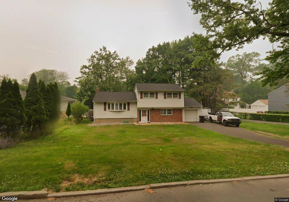
1301 Cushing Rd Unit 7 Plainfield, NJ 07062
Estimated Value: $568,011 - $646,000
--
Bed
--
Bath
1,606
Sq Ft
$370/Sq Ft
Est. Value
About This Home
This home is located at 1301 Cushing Rd Unit 7, Plainfield, NJ 07062 and is currently estimated at $594,503, approximately $370 per square foot. 1301 Cushing Rd Unit 7 is a home located in Union County with nearby schools including Frederic W. Cook School, Emerson Community School, and Maxson Middle School.
Ownership History
Date
Name
Owned For
Owner Type
Purchase Details
Closed on
Nov 18, 1999
Sold by
Robinson David
Bought by
Agurs Valeria
Current Estimated Value
Home Financials for this Owner
Home Financials are based on the most recent Mortgage that was taken out on this home.
Original Mortgage
$145,000
Outstanding Balance
$43,793
Interest Rate
7.61%
Mortgage Type
Unknown
Estimated Equity
$550,710
Purchase Details
Closed on
Oct 29, 1998
Sold by
Treadwell Earnie and Treadwell Diana
Bought by
Robinson David
Create a Home Valuation Report for This Property
The Home Valuation Report is an in-depth analysis detailing your home's value as well as a comparison with similar homes in the area
Home Values in the Area
Average Home Value in this Area
Purchase History
| Date | Buyer | Sale Price | Title Company |
|---|---|---|---|
| Agurs Valeria | $175,000 | Fidelity National Title Ins | |
| Robinson David | $100,000 | -- |
Source: Public Records
Mortgage History
| Date | Status | Borrower | Loan Amount |
|---|---|---|---|
| Open | Agurs Valeria | $145,000 |
Source: Public Records
Tax History Compared to Growth
Tax History
| Year | Tax Paid | Tax Assessment Tax Assessment Total Assessment is a certain percentage of the fair market value that is determined by local assessors to be the total taxable value of land and additions on the property. | Land | Improvement |
|---|---|---|---|---|
| 2025 | $11,605 | $132,900 | $59,100 | $73,800 |
| 2024 | $11,491 | $132,900 | $59,100 | $73,800 |
| 2023 | $11,491 | $132,900 | $59,100 | $73,800 |
| 2022 | $11,242 | $132,900 | $59,100 | $73,800 |
| 2021 | $11,144 | $132,900 | $59,100 | $73,800 |
| 2020 | $11,112 | $132,900 | $59,100 | $73,800 |
| 2019 | $11,112 | $132,900 | $59,100 | $73,800 |
| 2018 | $10,879 | $132,900 | $59,100 | $73,800 |
| 2017 | $10,613 | $132,900 | $59,100 | $73,800 |
| 2016 | $10,397 | $132,900 | $59,100 | $73,800 |
| 2015 | $10,090 | $132,900 | $59,100 | $73,800 |
| 2014 | $9,816 | $132,900 | $59,100 | $73,800 |
Source: Public Records
Map
Nearby Homes
- 939-45 Post Dr
- 1224 Sunnyfield Ln
- 1158 Woodmere Place
- 1232 Sunnyfield Ln
- 848 Adam Cir
- 965 Hilltop Rd
- 810 Leland Ave Unit 14
- 842 Berkeley Ave
- 32 Gere Place
- 19 Highlander Dr
- 43 Cray Terrace
- 481 Terrill Rd
- 1009 Mayfair Way
- 714 Dixie Ln
- 1657 Forest Hill Rd Unit 63
- 1138 Gresham Rd Unit 40
- 1138-40 Gresham Rd
- 15 La Grande Ave
- 49 Highlander Dr
- 771 Ravine Rd
- 1275 Cushing Rd Unit 81
- 1311 Cushing Rd Unit 17
- 1282 Worth Dr Unit 88
- 1290 Worth Dr Unit 96
- 1274 Worth Dr Unit 80
- 1274-80 Worth Dr
- 1267 Cushing Rd Unit 73
- 1266 Worth Dr Unit 72
- 1319 Cushing Rd Unit 25
- 1350 Cushing Rd
- 954 Post Dr Unit 60
- 1360 Cushing Rd
- 1340 Cushing Rd
- 1277-83 Worth Dr
- 947 Post Dr Unit 51
- 1277 Worth Dr Unit 83
- 968 Cushing Place Unit 74
- 943 Cushing Place Unit 49
- 962 Cushing Place Unit 66
- 968 Knollwood Ct Unit 74