1301 Ednor Rd Silver Spring, MD 20905
Estimated Value: $471,173 - $521,000
Studio
2
Baths
1,128
Sq Ft
$438/Sq Ft
Est. Value
About This Home
This home is located at 1301 Ednor Rd, Silver Spring, MD 20905 and is currently estimated at $493,543, approximately $437 per square foot. 1301 Ednor Rd is a home located in Montgomery County with nearby schools including Cloverly Elementary School, William H. Farquhar Middle School, and James Hubert Blake High School.
Ownership History
Date
Name
Owned For
Owner Type
Purchase Details
Closed on
Feb 14, 2025
Sold by
Paresa Chelsie Linn Wheatley and Wheatley Jessica Anne
Bought by
Mancusi Kathryn
Current Estimated Value
Home Financials for this Owner
Home Financials are based on the most recent Mortgage that was taken out on this home.
Original Mortgage
$400,000
Outstanding Balance
$396,315
Interest Rate
7.04%
Mortgage Type
New Conventional
Estimated Equity
$97,228
Purchase Details
Closed on
Oct 2, 2024
Sold by
Wheatley Darrell S
Bought by
Wheatley Darrell S and Wheatley Paresa Chelsie
Create a Home Valuation Report for This Property
The Home Valuation Report is an in-depth analysis detailing your home's value as well as a comparison with similar homes in the area
Home Values in the Area
Average Home Value in this Area
Purchase History
| Date | Buyer | Sale Price | Title Company |
|---|---|---|---|
| Mancusi Kathryn | $480,000 | Olde Towne Title | |
| Mancusi Kathryn | $480,000 | Olde Towne Title | |
| Wheatley Darrell S | -- | None Listed On Document |
Source: Public Records
Mortgage History
| Date | Status | Borrower | Loan Amount |
|---|---|---|---|
| Open | Mancusi Kathryn | $400,000 | |
| Closed | Mancusi Kathryn | $400,000 |
Source: Public Records
Tax History
| Year | Tax Paid | Tax Assessment Tax Assessment Total Assessment is a certain percentage of the fair market value that is determined by local assessors to be the total taxable value of land and additions on the property. | Land | Improvement |
|---|---|---|---|---|
| 2025 | $4,748 | $381,333 | -- | -- |
| 2024 | $4,748 | $355,767 | -- | -- |
| 2023 | $3,721 | $330,200 | $239,700 | $90,500 |
| 2022 | $3,539 | $330,200 | $239,700 | $90,500 |
| 2021 | $1,057 | $330,200 | $239,700 | $90,500 |
| 2020 | $3,625 | $346,700 | $266,500 | $80,200 |
| 2019 | $3,526 | $339,533 | $0 | $0 |
| 2018 | $927 | $332,367 | $0 | $0 |
| 2017 | $1,128 | $325,200 | $0 | $0 |
| 2016 | -- | $317,800 | $0 | $0 |
| 2015 | $3,365 | $310,633 | $0 | $0 |
| 2014 | $3,365 | $303,000 | $0 | $0 |
Source: Public Records
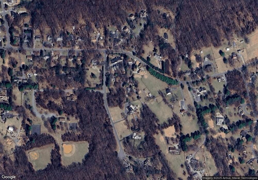
Map
Nearby Homes
- 1325 Patuxent Dr
- 1400 Spencerville Rd
- 1225 Spencerville Rd
- 16612 Medinah Ct
- 1625 Ashton Rd
- 15801 New Hampshire Ave
- 1216 Ashton Rd
- 550 Bryants Nursery Rd
- 401 Bryants Nursery Rd
- 2307 Spencerville Rd
- 1600 Rainbow Dr
- 1320 Rainbow Dr
- 17812 Hidden Garden Ln
- 15533 Thompson Rd
- 15408 Valencia St
- 12425 Hill Crest
- 15330 Hildegard Ln
- 7033 Mink Hollow Rd
- 410 Norwood Rd
- 14917 Claude Ln
- 17101 Clear Creek Dr
- 17017 Clear Creek Dr
- 1311 Ednor Rd
- 1309 Ednor Rd
- 17111 Clear Creek Dr
- 1401 Ednor Rd
- 17013 Clear Creek Dr
- 17020 Clear Creek Dr
- 1310 Ednor Rd
- 17108 Clear Creek Dr
- 1312 Ednor Rd
- 1411 Ednor Rd
- 17024 Clear Creek Dr
- 1500 Ednor Rd
- 17100 Clear Creek Dr
- 1215 Ednor Rd
- 17010 Clear Creek Dr
- 1218 Ednor Rd
- 1216 Ednor Rd
- 1302 Ednor Rd
Your Personal Tour Guide
Ask me questions while you tour the home.