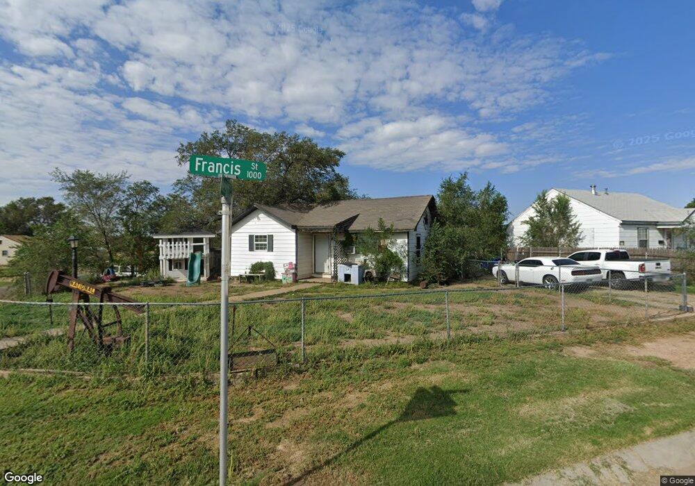
1301 Francis St Borger, TX 79007
Estimated Value: $63,648 - $82,000
--
Bed
--
Bath
1,263
Sq Ft
$58/Sq Ft
Est. Value
About This Home
This home is located at 1301 Francis St, Borger, TX 79007 and is currently estimated at $73,662, approximately $58 per square foot. 1301 Francis St is a home located in Hutchinson County with nearby schools including Paul Belton Elementary School, Gateway Elementary School, and Crockett Elementary School.
Ownership History
Date
Name
Owned For
Owner Type
Purchase Details
Closed on
Aug 19, 2019
Sold by
Keys Ada Marie and Keys Ada
Bought by
Smith Micheal Thomas
Current Estimated Value
Purchase Details
Closed on
Sep 17, 2018
Sold by
Terry Diana Lynn
Bought by
Smith Michael Thomas
Purchase Details
Closed on
Aug 10, 2018
Sold by
Tierra Group Llc
Bought by
Smith Michael Thomas
Purchase Details
Closed on
Feb 18, 2011
Sold by
Hannon Garry
Bought by
Smith Mike and Smith Carrie
Home Financials for this Owner
Home Financials are based on the most recent Mortgage that was taken out on this home.
Original Mortgage
$15,421
Interest Rate
4.79%
Mortgage Type
Purchase Money Mortgage
Create a Home Valuation Report for This Property
The Home Valuation Report is an in-depth analysis detailing your home's value as well as a comparison with similar homes in the area
Home Values in the Area
Average Home Value in this Area
Purchase History
| Date | Buyer | Sale Price | Title Company |
|---|---|---|---|
| Smith Micheal Thomas | -- | None Available | |
| Smith Michael Thomas | -- | None Available | |
| Smith Michael Thomas | -- | None Available | |
| Smith Mike | -- | None Available |
Source: Public Records
Mortgage History
| Date | Status | Borrower | Loan Amount |
|---|---|---|---|
| Previous Owner | Smith Mike | $15,421 |
Source: Public Records
Tax History Compared to Growth
Tax History
| Year | Tax Paid | Tax Assessment Tax Assessment Total Assessment is a certain percentage of the fair market value that is determined by local assessors to be the total taxable value of land and additions on the property. | Land | Improvement |
|---|---|---|---|---|
| 2024 | $1,046 | $39,630 | $3,160 | $36,470 |
| 2023 | $1,028 | $39,630 | $3,160 | $36,470 |
| 2022 | $972 | $37,810 | $3,160 | $34,650 |
| 2021 | $1,052 | $34,020 | $3,160 | $30,860 |
| 2020 | $1,001 | $33,600 | $3,160 | $30,440 |
| 2019 | $1,012 | $31,500 | $3,160 | $28,340 |
| 2018 | $1,001 | $31,500 | $3,160 | $28,340 |
| 2017 | $958 | $31,910 | $3,160 | $28,750 |
| 2016 | $958 | $31,910 | $3,160 | $28,750 |
| 2015 | -- | $31,910 | $3,160 | $28,750 |
| 2014 | -- | $31,910 | $3,160 | $28,750 |
Source: Public Records
Map
Nearby Homes
- 1204 Haggard St
- 1407 Clayton St
- 1414 Boyd St
- 1423 Clayton St
- 1212 Hazelwood St
- 1338 Haggard St
- 0 Green St Unit 25-8693
- 1603 Takewell St
- 803 Country Club Rd
- 914 West Dr
- 813 N Harvey St
- 917 Nelson St
- 601 E 10th St
- 917 West Dr
- 1401 Turner St
- 923 Elmore St
- 1703 Takewell St
- 934 Elmore St
- 704 N Harvey St
- 1808 Boyd St
- 1303 Francis St
- 1300 Francis St
- 1020 Meredith St
- 1015 Meredith St
- 1017 Meredith St
- 1302 Francis St
- 1013 Meredith St
- 1019 Meredith St
- 1305 Francis St
- 1318 Francis St
- 1014 Meredith St
- 1022 Meredith St
- 1304 Francis St
- 1011 Meredith St
- 1108 Lindsey St
- 1021 Meredith St
- 1307 Francis St
- 1102 Lindsey St
- 1009 Meredith St
- 1104 Lindsey St