1301 Greystone Dr McCall, ID 83638
Estimated Value: $1,084,000 - $1,350,000
4
Beds
3
Baths
2,373
Sq Ft
$519/Sq Ft
Est. Value
About This Home
This home is located at 1301 Greystone Dr, McCall, ID 83638 and is currently estimated at $1,231,904, approximately $519 per square foot. 1301 Greystone Dr is a home located in Valley County with nearby schools including McCall-Donnelly High School, Mountain Life Education, and McCall Adventist Christian School.
Ownership History
Date
Name
Owned For
Owner Type
Purchase Details
Closed on
May 18, 2017
Sold by
Emmerson Clark A and Emmerson Carol L
Bought by
The Mcdonald Family Trust
Current Estimated Value
Purchase Details
Closed on
May 13, 2009
Sold by
Crawforth Richard E
Bought by
Emmerson Clark A and Emmerson Carol L
Home Financials for this Owner
Home Financials are based on the most recent Mortgage that was taken out on this home.
Original Mortgage
$290,000
Interest Rate
4.82%
Mortgage Type
Purchase Money Mortgage
Create a Home Valuation Report for This Property
The Home Valuation Report is an in-depth analysis detailing your home's value as well as a comparison with similar homes in the area
Home Values in the Area
Average Home Value in this Area
Purchase History
| Date | Buyer | Sale Price | Title Company |
|---|---|---|---|
| The Mcdonald Family Trust | -- | Alliance Title Boise Produc | |
| Emmerson Clark A | -- | -- |
Source: Public Records
Mortgage History
| Date | Status | Borrower | Loan Amount |
|---|---|---|---|
| Previous Owner | Emmerson Clark A | $290,000 |
Source: Public Records
Tax History
| Year | Tax Paid | Tax Assessment Tax Assessment Total Assessment is a certain percentage of the fair market value that is determined by local assessors to be the total taxable value of land and additions on the property. | Land | Improvement |
|---|---|---|---|---|
| 2025 | $4,907 | $1,010,694 | -- | $1,010,694 |
| 2023 | $4,907 | $1,018,375 | $0 | $1,018,375 |
| 2022 | $4,987 | $958,768 | $0 | $958,768 |
| 2021 | $5,032 | $649,408 | $0 | $649,408 |
| 2020 | $4,729 | $533,576 | $0 | $533,576 |
| 2019 | $4,599 | $475,258 | $0 | $475,258 |
| 2018 | $4,774 | $451,586 | $0 | $451,586 |
| 2017 | $5,102 | $451,586 | $0 | $451,586 |
| 2016 | $4,912 | $426,072 | $0 | $426,072 |
| 2015 | $2,603 | $435,000 | $0 | $0 |
| 2013 | -- | $342,421 | $0 | $0 |
Source: Public Records
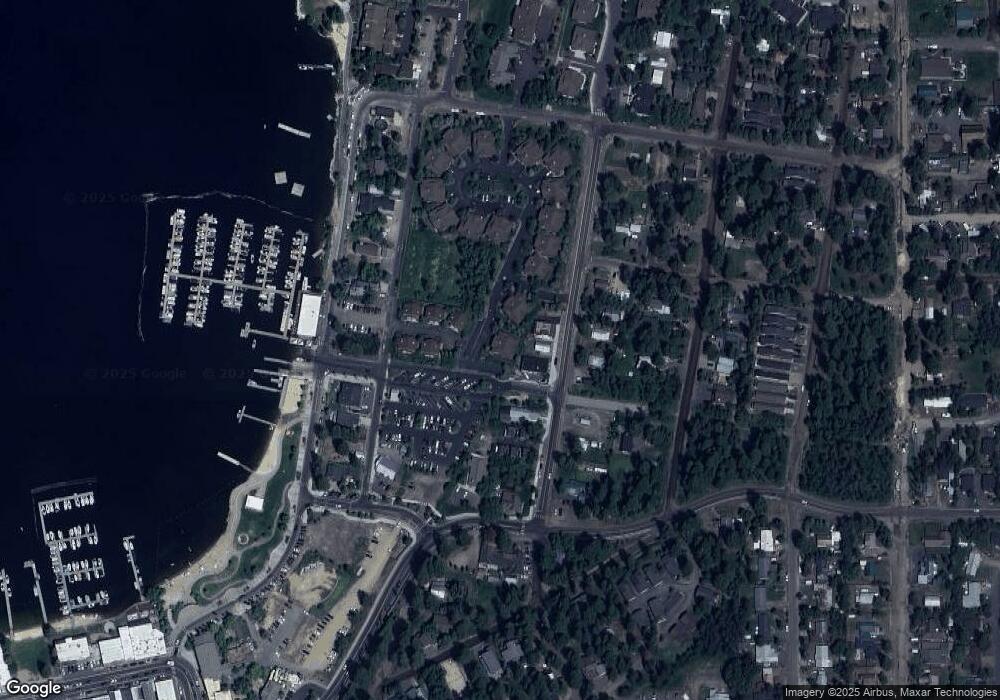
Map
Nearby Homes
- 1305 Greystone Dr Unit 2
- 1305 Greystone Dr
- 601 Hemlock St Unit 10
- TBD Divot Ln Unit 4
- 609 Blue Water Cir
- 715 Spruce St
- 911 Davis Ave
- 707 Bridle Path Way
- 697 N Samson Trail Unit 7
- 699 N Samson Trail Unit 5
- 693 N Samson Trail Unit 10
- 697 N Samson Trail
- 699 N Samson Trail
- 1630 Davis Ave Unit C18
- 616 N 3rd St Unit 304
- 616 N 3rd St Unit 211
- 616 N 3rd St Unit 215
- 324 Sunshine
- 815 & 813 Reedy Ln
- 815 Reedy Ln
- 1301 Greystone Dr Unit 1
- 1300 Roosevelt Ave
- 1309 Greystone Dr
- 1309 Greystone Dr Unit 3
- 1304 Roosevelt Ave
- 1313 Greystone Dr Unit 4
- 1313 Greystone Dr
- 1306 Roosevelt Ave
- 1308 Roosevelt Ave
- 1361#16 Greystone Dr
- 1303 Mill Rd Unit 3B
- 1303 Mill Rd Unit 9
- 1303 Mill Rd Unit 1
- 1303 Mill Rd
- 1303 Mill Rd Unit 1B
- 1303 Mill Rd Unit 5A
- 1303 Mill Rd Unit 1A
- 1303 Mill Rd Unit 4
- 1303 Mill Rd Unit 3
- 1303 Roosevelt Ave
Your Personal Tour Guide
Ask me questions while you tour the home.