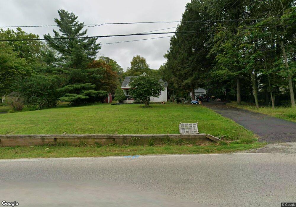
1301 Lansdale Ave Lansdale, PA 19446
Estimated Value: $402,000 - $460,000
3
Beds
2
Baths
1,515
Sq Ft
$277/Sq Ft
Est. Value
About This Home
This home is located at 1301 Lansdale Ave, Lansdale, PA 19446 and is currently estimated at $420,062, approximately $277 per square foot. 1301 Lansdale Ave is a home located in Montgomery County with nearby schools including Bridle Path Elementary School, Penndale Middle School, and North Penn Senior High School.
Ownership History
Date
Name
Owned For
Owner Type
Purchase Details
Closed on
Oct 15, 2009
Sold by
Iannuzzi Donna
Bought by
Love Donald and Love Chrsitine
Current Estimated Value
Home Financials for this Owner
Home Financials are based on the most recent Mortgage that was taken out on this home.
Original Mortgage
$247,000
Outstanding Balance
$161,122
Interest Rate
5.06%
Mortgage Type
VA
Estimated Equity
$258,940
Purchase Details
Closed on
Apr 8, 2009
Sold by
Miller Glenn D and Miller Cynthia L
Bought by
T080512-01 Entrustcama Fbo Ira
Home Financials for this Owner
Home Financials are based on the most recent Mortgage that was taken out on this home.
Original Mortgage
$100,000
Interest Rate
4.93%
Purchase Details
Closed on
Dec 18, 2008
Sold by
Miller Glenn D and Nelson Dorothy A Miller
Bought by
Miller Glenn D and Miller Cynthia L
Create a Home Valuation Report for This Property
The Home Valuation Report is an in-depth analysis detailing your home's value as well as a comparison with similar homes in the area
Home Values in the Area
Average Home Value in this Area
Purchase History
| Date | Buyer | Sale Price | Title Company |
|---|---|---|---|
| Love Donald | $247,000 | None Available | |
| T080512-01 Entrustcama Fbo Ira | $165,000 | None Available | |
| Miller Glenn D | -- | None Available |
Source: Public Records
Mortgage History
| Date | Status | Borrower | Loan Amount |
|---|---|---|---|
| Open | Love Donald | $247,000 | |
| Previous Owner | T080512-01 Entrustcama Fbo Ira | $100,000 |
Source: Public Records
Tax History Compared to Growth
Tax History
| Year | Tax Paid | Tax Assessment Tax Assessment Total Assessment is a certain percentage of the fair market value that is determined by local assessors to be the total taxable value of land and additions on the property. | Land | Improvement |
|---|---|---|---|---|
| 2025 | $3,966 | $106,330 | -- | -- |
| 2024 | $3,966 | $106,330 | -- | -- |
| 2023 | $3,784 | $106,330 | $0 | $0 |
| 2022 | $3,651 | $106,330 | $0 | $0 |
| 2021 | $3,433 | $106,330 | $0 | $0 |
| 2020 | $3,342 | $106,330 | $0 | $0 |
| 2019 | $3,280 | $106,330 | $0 | $0 |
| 2018 | $523 | $106,330 | $0 | $0 |
| 2017 | $3,140 | $106,330 | $0 | $0 |
| 2016 | $3,098 | $106,330 | $0 | $0 |
| 2015 | $2,958 | $106,330 | $0 | $0 |
| 2014 | $2,958 | $106,330 | $0 | $0 |
Source: Public Records
Map
Nearby Homes
- 111 Holly Dr Unit DEVONSHIRE
- 111 Holly Dr Unit NOTTINGHAM
- 111 Holly Dr Unit HAWTHORNE
- 111 Holly Dr Unit COVINGTON
- 1107 Lansdale Ave
- 421 Cowpath Rd
- 1823 N Line St
- 405 Country Club Dr
- 100 Victoria Dr
- 111 Country Ln
- 219 Pinecrest Ln
- 104 Pinecrest Ln
- 2111 Hidden Meadow Dr
- 583 Bethlehem Pike
- 171 Pinecrest Ln
- 375 Sydney Ln
- 373 Sydney Ln
- 000 Lenape Dr
- 414 Sydney Ave
- 402 Sydeny Ave
- 1305 Lansdale Ave
- 102 Crestwood Dr
- 1303 Lansdale Ave
- 100 Crestwood Dr
- 104 Crestwood Dr
- 106 Crestwood Dr
- 1210 Lansdale Ave
- 1302 Lansdale Ave
- 1309 Lansdale Ave
- 1311 Lansdale Ave
- 108 Crestwood Dr
- 1208 Lansdale Ave
- 1306 Lansdale Ave
- 105 Crestwood Cir
- 103 Crestwood Dr
- 101 Crestwood Dr
- 1206 Lansdale Ave
- 110 Crestwood Dr
- 1308 Lansdale Ave
- 101 Meadowood Dr