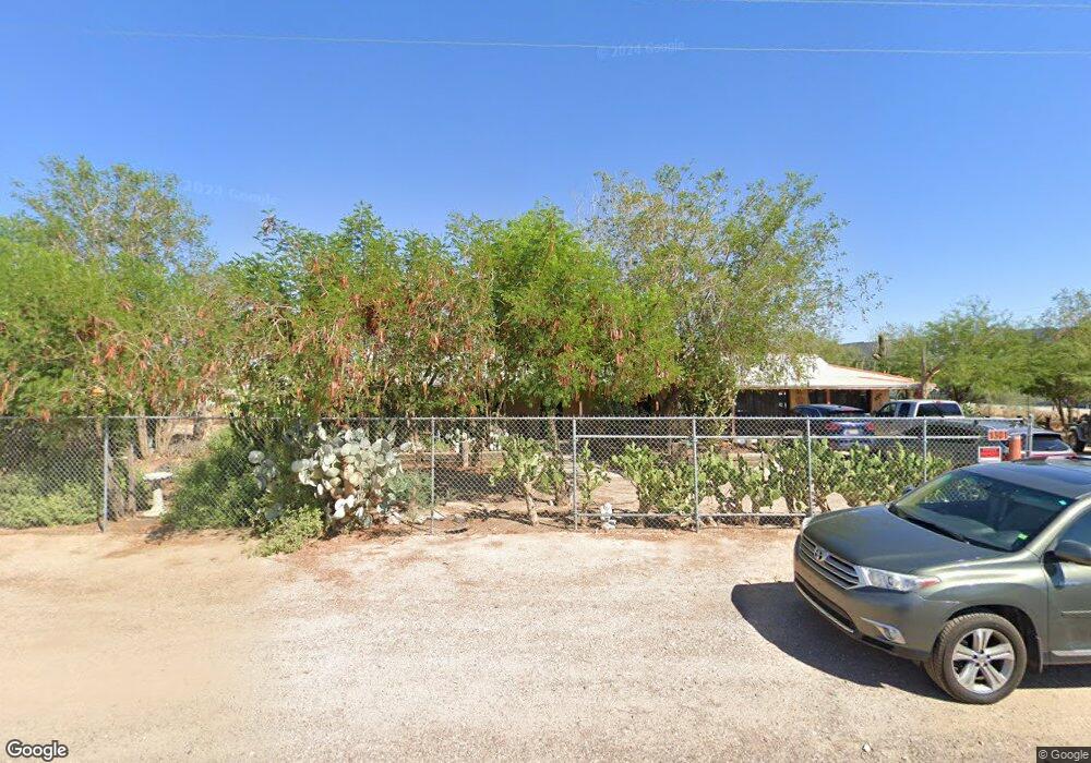
1301 N 189th Ave Buckeye, AZ 85326
Estimated Value: $569,000 - $799,000
--
Bed
2
Baths
2,068
Sq Ft
$309/Sq Ft
Est. Value
About This Home
This home is located at 1301 N 189th Ave, Buckeye, AZ 85326 and is currently estimated at $638,028, approximately $308 per square foot. 1301 N 189th Ave is a home located in Maricopa County with nearby schools including Estrella Foothills High School, The Odyssey Preparatory Academy, and West Valley Christian School.
Ownership History
Date
Name
Owned For
Owner Type
Purchase Details
Closed on
Aug 15, 2019
Sold by
Diaz Gabriel A and Diaz Dorothy F
Bought by
Diaz Gabriel A and Diaz Dorothy F
Current Estimated Value
Purchase Details
Closed on
Jul 24, 2017
Sold by
Diaz Gabriel A and Diaz Gabriel A
Bought by
Diaz Gabriel A and Diaz Dorothy F
Home Financials for this Owner
Home Financials are based on the most recent Mortgage that was taken out on this home.
Original Mortgage
$156,000
Interest Rate
3.88%
Mortgage Type
New Conventional
Create a Home Valuation Report for This Property
The Home Valuation Report is an in-depth analysis detailing your home's value as well as a comparison with similar homes in the area
Home Values in the Area
Average Home Value in this Area
Purchase History
| Date | Buyer | Sale Price | Title Company |
|---|---|---|---|
| Diaz Gabriel A | -- | None Available | |
| Diaz Gabriel A | -- | First American Title Company |
Source: Public Records
Mortgage History
| Date | Status | Borrower | Loan Amount |
|---|---|---|---|
| Closed | Diaz Gabriel A | $156,000 |
Source: Public Records
Tax History Compared to Growth
Tax History
| Year | Tax Paid | Tax Assessment Tax Assessment Total Assessment is a certain percentage of the fair market value that is determined by local assessors to be the total taxable value of land and additions on the property. | Land | Improvement |
|---|---|---|---|---|
| 2025 | $1,726 | $16,666 | -- | -- |
| 2024 | $1,546 | $15,872 | -- | -- |
| 2023 | $1,546 | $45,180 | $9,030 | $36,150 |
| 2022 | $1,431 | $32,820 | $6,560 | $26,260 |
| 2021 | $1,526 | $29,220 | $5,840 | $23,380 |
| 2020 | $1,455 | $27,300 | $5,460 | $21,840 |
| 2019 | $1,337 | $23,220 | $4,640 | $18,580 |
| 2018 | $1,283 | $19,130 | $3,820 | $15,310 |
| 2017 | $1,252 | $16,610 | $3,320 | $13,290 |
| 2016 | $1,198 | $14,030 | $2,800 | $11,230 |
| 2015 | $1,194 | $13,600 | $2,720 | $10,880 |
Source: Public Records
Map
Nearby Homes
- 21032 W Shasta St
- 205 N 188th Dr
- 18800 W Adams St
- 18765 W Adams St
- 2319 N 192nd Ave
- 219 N Perryville Rd
- 19302 W Melvin St
- 18801 W Wilson St
- 1443 N 181st Ln
- 18821 W Jefferson St
- 18819 W Farmer Rd
- 18843 W Farmer Rd
- 19031 W Sheffer Ave
- 18800 W Madison St
- 203 S 190th Ave
- 19365 W Monroe St
- XX W Adams St
- X00 S 191st Ave Unit C
- X0 S 191st Ave Unit B
- 19451 W Woodlands Ave
- 18864 W Culver St
- 18903 W Culver St
- 18921 W Culver St Unit None
- 18921 W Culver St
- 18926 W Culver St
- 1122 N 189th Ave
- 18925 W Culver St
- 19008 W Culver St
- 19001 W Culver St
- 18901 W Latham St
- 18919 W Latham St
- 18927 W Latham St
- 19020 W Culver St
- 19021 W Culver St Unit WKSHP
- 19021 W Culver St
- 18902 W Portland St
- 18912 W Portland St
- 18935 W Latham St
- LOT683 W Portland St Unit 683
- 18969 W Mcdowell Rd Unit 4