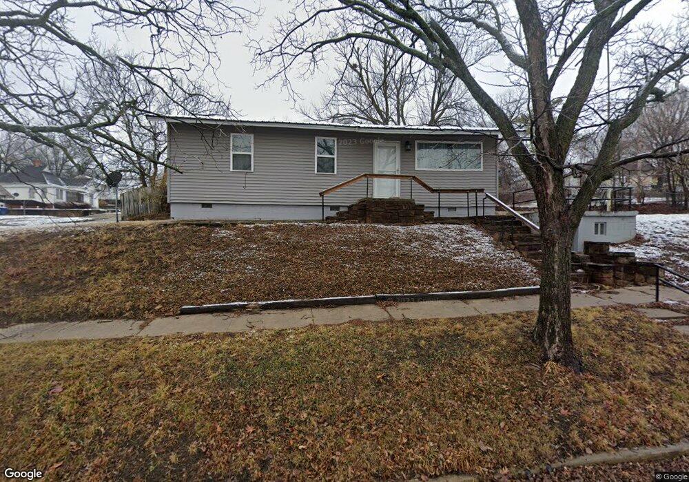
1301 Revard Ave Pawhuska, OK 74056
Estimated Value: $63,000 - $107,000
3
Beds
2
Baths
912
Sq Ft
$97/Sq Ft
Est. Value
About This Home
This home is located at 1301 Revard Ave, Pawhuska, OK 74056 and is currently estimated at $88,361, approximately $96 per square foot. 1301 Revard Ave is a home located in Osage County with nearby schools including Indian Camp Elementary School, Pawhuska Elementary School, and Pawhuska Middle School.
Ownership History
Date
Name
Owned For
Owner Type
Purchase Details
Closed on
Sep 18, 2020
Sold by
Mereland John
Bought by
Smith Dina Carol
Current Estimated Value
Purchase Details
Closed on
Aug 24, 2020
Sold by
Gordan Bran Dale
Bought by
Moreland John
Purchase Details
Closed on
Feb 1, 2017
Sold by
Wells Fargo Bank
Bought by
Gordon Brian Dale
Purchase Details
Closed on
Nov 17, 2006
Sold by
Kelly Francis M and Kelly Nancy
Bought by
Mooney Pansy R
Home Financials for this Owner
Home Financials are based on the most recent Mortgage that was taken out on this home.
Original Mortgage
$28,064
Interest Rate
6.26%
Mortgage Type
FHA
Create a Home Valuation Report for This Property
The Home Valuation Report is an in-depth analysis detailing your home's value as well as a comparison with similar homes in the area
Home Values in the Area
Average Home Value in this Area
Purchase History
| Date | Buyer | Sale Price | Title Company |
|---|---|---|---|
| Smith Dina Carol | $65,000 | First Ttl & Abstract Svcs Ll | |
| Moreland John | -- | Firstitle & Abstract Svcs Ll | |
| Gordon Brian Dale | -- | None Available | |
| Mooney Pansy R | $28,000 | -- |
Source: Public Records
Mortgage History
| Date | Status | Borrower | Loan Amount |
|---|---|---|---|
| Previous Owner | Mooney Pansy R | $28,064 |
Source: Public Records
Tax History Compared to Growth
Tax History
| Year | Tax Paid | Tax Assessment Tax Assessment Total Assessment is a certain percentage of the fair market value that is determined by local assessors to be the total taxable value of land and additions on the property. | Land | Improvement |
|---|---|---|---|---|
| 2024 | $833 | $9,029 | $554 | $8,475 |
| 2023 | $833 | $8,599 | $554 | $8,045 |
| 2022 | $730 | $7,800 | $554 | $7,246 |
| 2021 | $698 | $7,800 | $554 | $7,246 |
| 2020 | $366 | $4,017 | $554 | $3,463 |
| 2019 | $361 | $4,017 | $554 | $3,463 |
| 2018 | $357 | $4,017 | $554 | $3,463 |
| 2017 | $480 | $5,350 | $554 | $4,796 |
| 2016 | $402 | $4,462 | $554 | $3,908 |
| 2015 | $303 | $4,249 | $554 | $3,695 |
| 2014 | $297 | $4,126 | $554 | $3,572 |
| 2013 | $381 | $4,005 | $554 | $3,451 |
Source: Public Records
Map
Nearby Homes
- 0 Prudom Ave
- 208 E 12th St
- 421 E 11th St
- 1419 Leahy Ave
- 312 E 11th St
- 321 E 10th St
- 101 E 11th St
- 906 Rogers Ave
- 1700 Grandview Ave
- 1715 Grandview Ave
- 1815 Grandview Ave
- 1205 Brenner Ave
- 320 E 7th St
- 1721 Bighill Ave
- 225 E 6th St
- 1119 E 13th St
- 501 W 17th St
- 1318 Boundary Ave
- 1322 Boundary Ave
- 2125 Mckenzie Rd