Estimated Value: $227,000 - $280,000
3
Beds
2
Baths
1,797
Sq Ft
$139/Sq Ft
Est. Value
About This Home
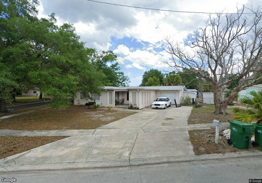
This home is located at 1301 S Stetson Dr, Cocoa, FL 32922 and is currently estimated at $249,366, approximately $138 per square foot. 1301 S Stetson Dr is a home located in Brevard County with nearby schools including Cambridge Elementary Magnet School, Cocoa High School, and Emma Jewel Charter Academy.
Ownership History
Date
Name
Owned For
Owner Type
Purchase Details
Closed on
Nov 1, 1996
Sold by
Veterans Affairs
Bought by
Huber John E
Current Estimated Value
Home Financials for this Owner
Home Financials are based on the most recent Mortgage that was taken out on this home.
Original Mortgage
$45,353
Outstanding Balance
$4,493
Interest Rate
8.15%
Estimated Equity
$244,873
Purchase Details
Closed on
May 17, 1996
Sold by
Inland Mtg Corp
Bought by
Veterans Affairs
Purchase Details
Closed on
May 14, 1996
Sold by
Clerk Circuit Court
Bought by
Inland Mtg Corp
Create a Home Valuation Report for This Property
The Home Valuation Report is an in-depth analysis detailing your home's value as well as a comparison with similar homes in the area
Home Values in the Area
Average Home Value in this Area
Purchase History
| Date | Buyer | Sale Price | Title Company |
|---|---|---|---|
| Huber John E | $57,100 | -- | |
| Veterans Affairs | -- | -- | |
| Inland Mtg Corp | -- | -- |
Source: Public Records
Mortgage History
| Date | Status | Borrower | Loan Amount |
|---|---|---|---|
| Open | Huber John E | $45,353 |
Source: Public Records
Tax History
| Year | Tax Paid | Tax Assessment Tax Assessment Total Assessment is a certain percentage of the fair market value that is determined by local assessors to be the total taxable value of land and additions on the property. | Land | Improvement |
|---|---|---|---|---|
| 2025 | $3,259 | $230,930 | -- | -- |
| 2024 | $3,051 | $226,590 | -- | -- |
| 2023 | $3,051 | $209,820 | $0 | $0 |
| 2022 | $2,579 | $184,520 | $0 | $0 |
| 2021 | $2,155 | $114,720 | $36,000 | $78,720 |
| 2020 | $1,940 | $99,320 | $36,000 | $63,320 |
| 2019 | $1,876 | $100,470 | $36,000 | $64,470 |
| 2018 | $1,649 | $90,100 | $25,000 | $65,100 |
| 2017 | $1,481 | $70,300 | $17,000 | $53,300 |
| 2016 | $1,374 | $60,410 | $9,000 | $51,410 |
| 2015 | $1,275 | $52,310 | $9,000 | $43,310 |
| 2014 | $1,186 | $49,870 | $10,000 | $39,870 |
Source: Public Records
Map
Nearby Homes
- 1326 Stetson Ct
- 2016 Cooper Dr
- 2029 Ivy Dr
- 1354 S Stetson Dr
- 1723 Dixon Blvd Unit 4
- 1750 Rosa St
- 1711 Dixon Blvd Unit 198
- 1417 Walter St
- 1633 Highland Ct
- 703 Venus Dr
- 0000 N Range Rd
- 717 Lunar Lake Cir
- 1301 N Range Rd
- Xxx Rosetine St
- 0 University Ln
- 0000 Null Unknown
- 1523 Clearlake Ct
- 2515 Fairfield Dr
- 1531 Paradise Ln
- 2500 Fairfield Dr
- 1305 S Stetson Dr
- 1934 Ivy Dr
- 1302 S Stetson Dr
- 1933 Exeter Dr
- 1309 S Stetson Dr
- 1306 S Stetson Dr
- 1401 E Stetson Dr
- 1930 Ivy Dr
- 1929 Exeter Dr
- 1404 E Stetson Dr
- 2005 Ivy Dr
- 1310 S Stetson Dr
- 1313 S Stetson Dr
- 1926 Ivy Dr
- 2002 Ivy Dr
- 1405 E Stetson Dr
- 1926 Exeter Dr
- 1406 E Stetson Dr
- 1929 Furman Ct
- 1922 Exeter Dr
Your Personal Tour Guide
Ask me questions while you tour the home.