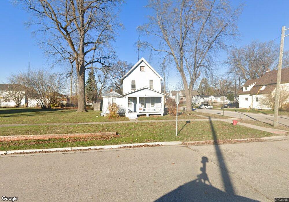
1301 Scott Ave Port Huron, MI 48060
Estimated Value: $142,000 - $158,000
3
Beds
1
Bath
1,580
Sq Ft
$95/Sq Ft
Est. Value
About This Home
This home is located at 1301 Scott Ave, Port Huron, MI 48060 and is currently estimated at $150,056, approximately $94 per square foot. 1301 Scott Ave is a home located in St. Clair County with nearby schools including H.D. Crull Elementary School, Holland Woods Middle School, and Port Huron Northern High School.
Ownership History
Date
Name
Owned For
Owner Type
Purchase Details
Closed on
May 1, 2008
Sold by
Johnson Clara Marie and Meyers Pennyb D
Bought by
Johnson Scott P and Johnson Misty M
Current Estimated Value
Home Financials for this Owner
Home Financials are based on the most recent Mortgage that was taken out on this home.
Original Mortgage
$67,467
Interest Rate
5.88%
Mortgage Type
FHA
Purchase Details
Closed on
Feb 1, 1999
Sold by
Johnson Clara and Johnson Harry O
Bought by
Johnson Clara Marie and Smith Penny D
Create a Home Valuation Report for This Property
The Home Valuation Report is an in-depth analysis detailing your home's value as well as a comparison with similar homes in the area
Home Values in the Area
Average Home Value in this Area
Purchase History
| Date | Buyer | Sale Price | Title Company |
|---|---|---|---|
| Johnson Scott P | -- | None Available | |
| Johnson Clara Marie | -- | Huron Title Company |
Source: Public Records
Mortgage History
| Date | Status | Borrower | Loan Amount |
|---|---|---|---|
| Closed | Johnson Scott P | $67,467 |
Source: Public Records
Tax History Compared to Growth
Tax History
| Year | Tax Paid | Tax Assessment Tax Assessment Total Assessment is a certain percentage of the fair market value that is determined by local assessors to be the total taxable value of land and additions on the property. | Land | Improvement |
|---|---|---|---|---|
| 2025 | $1,416 | $60,700 | $0 | $0 |
| 2024 | $1,159 | $56,300 | $0 | $0 |
| 2023 | $1,095 | $49,900 | $0 | $0 |
| 2022 | $1,097 | $42,800 | $0 | $0 |
| 2021 | $1,042 | $39,400 | $0 | $0 |
| 2020 | $1,054 | $36,700 | $36,700 | $0 |
| 2019 | $1,035 | $24,200 | $0 | $0 |
| 2018 | $1,013 | $24,200 | $0 | $0 |
| 2017 | $1,130 | $22,800 | $0 | $0 |
| 2016 | $723 | $22,800 | $0 | $0 |
| 2015 | $710 | $20,700 | $20,700 | $0 |
| 2014 | $710 | $19,800 | $19,800 | $0 |
| 2013 | -- | $19,800 | $0 | $0 |
Source: Public Records
Map
Nearby Homes
- 2400 Stone St Unit 2414
- 1620 McBrady St
- 2419 Cherry St
- 1116 Hancock St
- 1433 Poplar St
- 1649 Whipple St
- 1907 Riverside Dr
- 1733 Whipple St
- 2431 Armour St
- 1819 Riverside Dr
- 1417 Kearney St
- 2215 Hancock St
- 2913 11th Ave
- 2736 17th Ave
- 1531 Robinson St
- 1202 Palmer Ct
- 0000 Campau Ave
- 1002 Erie St
- 713 Rawlins St
- 917 Saint Clair St
- 1311 Scott Ave
- 1219 Scott Ave
- 2004 10th Ave
- 2012 10th Ave
- 1307 Scott Ave
- 2021 Poplar St
- 1925 Pine St
- 2016 Poplar St
- 1213 Scott Ave
- 1210 Scott Ave
- 1210 Scott Ave Unit Upstairs
- 2020 Poplar St
- 1209 Scott Ave
- 2025 Poplar St
- 2015 Elk St
- 1926 Poplar St
- 1203 Scott Ave
- 1208 Scott Ave
- 2026 Poplar St
- 1202 Scott Ave