1301 Scranton Ave Whiting, NJ 08759
Estimated Value: $577,000 - $622,000
4
Beds
2
Baths
2,076
Sq Ft
$290/Sq Ft
Est. Value
About This Home
This home is located at 1301 Scranton Ave, Whiting, NJ 08759 and is currently estimated at $601,351, approximately $289 per square foot. 1301 Scranton Ave is a home located in Ocean County with nearby schools including Manchester Township High School.
Ownership History
Date
Name
Owned For
Owner Type
Purchase Details
Closed on
Aug 25, 2006
Sold by
Troast Eric and Troast Maureen E
Bought by
Taylor Robert L and Taylor Patricia H
Current Estimated Value
Home Financials for this Owner
Home Financials are based on the most recent Mortgage that was taken out on this home.
Original Mortgage
$35,000
Outstanding Balance
$19,980
Interest Rate
5.87%
Mortgage Type
Stand Alone First
Estimated Equity
$581,371
Purchase Details
Closed on
Aug 17, 1994
Sold by
Vanvanzelst Hileen Van
Bought by
Troast Eric and Troast Maureen
Home Financials for this Owner
Home Financials are based on the most recent Mortgage that was taken out on this home.
Original Mortgage
$138,000
Interest Rate
8.65%
Create a Home Valuation Report for This Property
The Home Valuation Report is an in-depth analysis detailing your home's value as well as a comparison with similar homes in the area
Home Values in the Area
Average Home Value in this Area
Purchase History
| Date | Buyer | Sale Price | Title Company |
|---|---|---|---|
| Taylor Robert L | $385,000 | Land America | |
| Troast Eric | $140,000 | -- |
Source: Public Records
Mortgage History
| Date | Status | Borrower | Loan Amount |
|---|---|---|---|
| Open | Taylor Robert L | $35,000 | |
| Previous Owner | Troast Eric | $138,000 |
Source: Public Records
Tax History
| Year | Tax Paid | Tax Assessment Tax Assessment Total Assessment is a certain percentage of the fair market value that is determined by local assessors to be the total taxable value of land and additions on the property. | Land | Improvement |
|---|---|---|---|---|
| 2025 | $7,570 | $520,300 | $195,000 | $325,300 |
| 2024 | $6,657 | $285,700 | $85,000 | $200,700 |
| 2023 | $6,328 | $285,700 | $85,000 | $200,700 |
| 2022 | $6,328 | $285,700 | $85,000 | $200,700 |
| 2021 | $6,191 | $285,700 | $85,000 | $200,700 |
| 2020 | $6,028 | $285,700 | $85,000 | $200,700 |
| 2019 | $6,505 | $253,600 | $85,000 | $168,600 |
| 2018 | $6,479 | $253,600 | $85,000 | $168,600 |
| 2017 | $6,505 | $253,600 | $85,000 | $168,600 |
| 2016 | $6,426 | $253,600 | $85,000 | $168,600 |
| 2015 | $6,307 | $253,600 | $85,000 | $168,600 |
| 2014 | $6,178 | $253,600 | $85,000 | $168,600 |
Source: Public Records
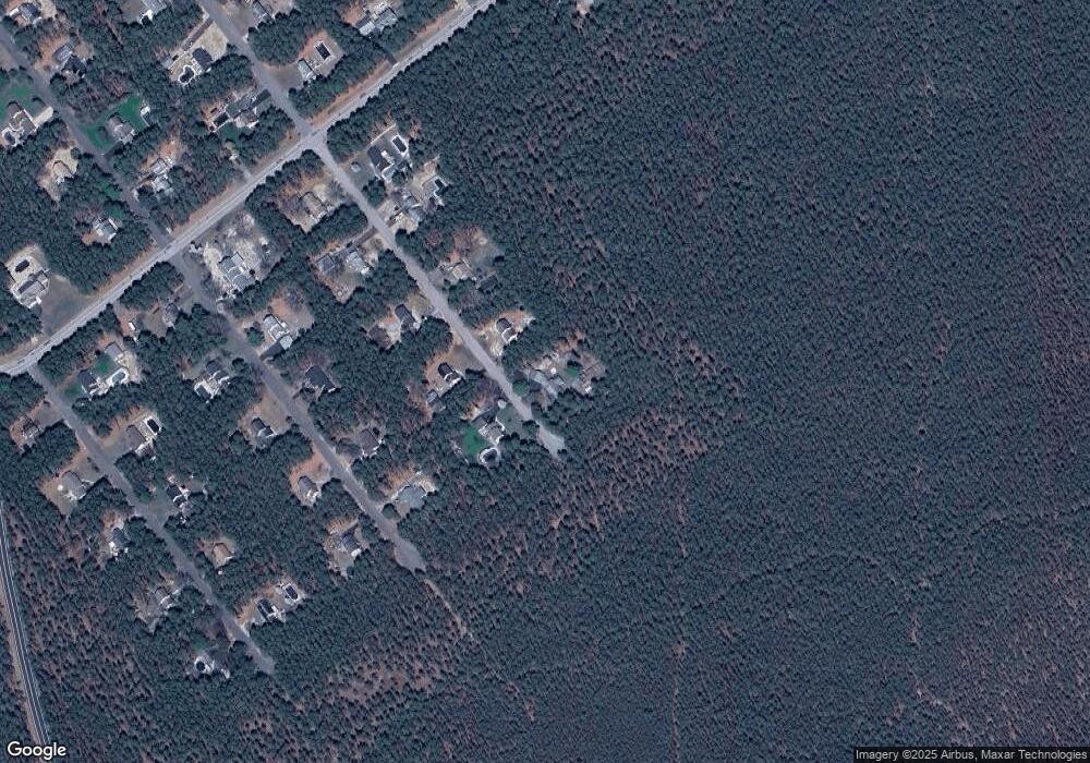
Map
Nearby Homes
- 1580 Cabot Ave
- 1901 Baltimore Ave
- 151 Adams St
- 101 Buckingham Rd
- 6 Orchard Dr Unit 73
- 34 Clear Lake Rd
- 701 Orchid St
- 7 Eaton Ln Unit 73
- 8 Morning Glory Ln
- 3 Apple Ln Unit 72
- 528 Petunia Ln N
- 1 Morning Glory La
- 1 Morning Glory Ln
- 4 Stanton Ct
- 53 Central Ave
- 53 Central Ave Unit 72
- 11 Hartford Rd Unit 70
- 51 Central Ave Unit 72
- 10 Hartford Rd
- 6 Columbus Blvd Unit C
- 1321 Scranton Ave
- 1300 Scranton Ave
- 1320 Scranton Ave
- 1341 Scranton Ave
- 1340 Scranton Ave
- 1301 Zeppelin Ave
- 1321 Zeppelin Ave
- 1361 Scranton Ave
- 1341 Zeppelin Ave
- 1360 Scranton Ave
- 1361 Zeppelin Ave
- 1300 Zeppelin Ave
- 1320 Zeppelin Ave
- 1381 Scranton Ave
- 1380 Scranton Ave
- 1340 Zeppelin Ave
- 1381 Zeppelin Ave
- 1301 Cabot Ave
- 1321 Cabot Ave
- 1341 Cabot Ave
Your Personal Tour Guide
Ask me questions while you tour the home.