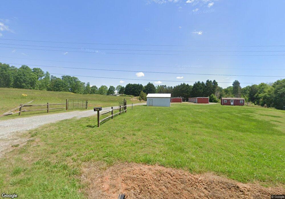
1301 Us 221 Hwy S Rutherfordton, NC 28139
Estimated Value: $440,834
--
Bed
--
Bath
2,000
Sq Ft
$220/Sq Ft
Est. Value
About This Home
This home is located at 1301 Us 221 Hwy S, Rutherfordton, NC 28139 and is currently estimated at $440,834, approximately $220 per square foot. 1301 Us 221 Hwy S is a home located in Rutherford County with nearby schools including Spindale Elementary School, R.S. Middle School, and R-S Central High School.
Ownership History
Date
Name
Owned For
Owner Type
Purchase Details
Closed on
Jan 7, 2022
Sold by
Kly Llc
Bought by
Sain & Lackey Llc
Current Estimated Value
Home Financials for this Owner
Home Financials are based on the most recent Mortgage that was taken out on this home.
Original Mortgage
$293,250
Outstanding Balance
$270,302
Interest Rate
3.12%
Mortgage Type
New Conventional
Estimated Equity
$174,894
Purchase Details
Closed on
May 26, 2021
Sold by
Dickey Thomas and Dickey Sandra J
Bought by
Kly Llc
Home Financials for this Owner
Home Financials are based on the most recent Mortgage that was taken out on this home.
Original Mortgage
$190,500
Interest Rate
3%
Mortgage Type
Commercial
Purchase Details
Closed on
Apr 22, 2016
Sold by
Jhonston Bill and Johnston Billy G
Bought by
Dickey Thomas
Create a Home Valuation Report for This Property
The Home Valuation Report is an in-depth analysis detailing your home's value as well as a comparison with similar homes in the area
Home Values in the Area
Average Home Value in this Area
Purchase History
| Date | Buyer | Sale Price | Title Company |
|---|---|---|---|
| Sain & Lackey Llc | $345,000 | Lane Peter E | |
| Kly Llc | $210,000 | None Available | |
| Kly Llc | $210,000 | None Listed On Document | |
| Dickey Thomas | $330,000 | None Available |
Source: Public Records
Mortgage History
| Date | Status | Borrower | Loan Amount |
|---|---|---|---|
| Open | Sain & Lackey Llc | $293,250 | |
| Previous Owner | Kly Llc | $190,500 |
Source: Public Records
Tax History Compared to Growth
Tax History
| Year | Tax Paid | Tax Assessment Tax Assessment Total Assessment is a certain percentage of the fair market value that is determined by local assessors to be the total taxable value of land and additions on the property. | Land | Improvement |
|---|---|---|---|---|
| 2025 | $966 | $164,000 | $36,000 | $128,000 |
| 2024 | $897 | $164,000 | $36,000 | $128,000 |
| 2023 | $1,093 | $164,000 | $36,000 | $128,000 |
| 2022 | $1,093 | $159,100 | $45,000 | $114,100 |
| 2021 | $904 | $133,200 | $45,000 | $88,200 |
| 2020 | $891 | $133,200 | $45,000 | $88,200 |
| 2019 | $875 | $133,200 | $45,000 | $88,200 |
| 2018 | $753 | $114,600 | $45,000 | $69,600 |
| 2016 | $753 | $114,600 | $45,000 | $69,600 |
| 2013 | -- | $114,600 | $45,000 | $69,600 |
Source: Public Records
Map
Nearby Homes
- 1349 Us 221 Hwy S
- 1260 US 221 Hwy S
- 847 Crowe Dairy Rd
- 732 Crowe Dairy Rd
- 188 Debby Ln
- 151 Debby Ln
- 0 Carver Ln
- 0 Oakland Heights Rd
- 617 Us 221 Hwy S
- 0 Joshua Dr
- Lot 34 Line Dr
- Lot 32 Line Dr
- Lot 31 Line Dr
- Lot 20 Line Dr
- Lot 19 Line Dr
- 549 Piney Ridge Rd
- 102 Overbrook Rd
- 122 Overbrook Dr
- 387 Oak Street Extension
- 00 Us 74 Bypass Hwy
- 244 Duncard Church Rd
- 256 Duncard Church Rd
- 159 Duncard Church Rd
- 171 Duncard Church Rd
- 300 Duncard Church Rd Unit 302
- 851 Poors Ford Rd
- 841 Poors Ford Rd Unit 847
- 847 Poors Ford Rd
- 1051 Poors Ford Rd
- 893 Poors Ford Rd
- 921 Poors Ford Rd
- 855 Poors Ford Rd
- 910 Poors Ford Rd
- 839 Poors Ford Rd
- 775 Poors Ford Rd
- 1201 U S 221
- 823 Poors Ford Rd
- 1024 Poors Ford Rd
- 1016 Poors Ford Rd
- 815 Poors Ford Rd