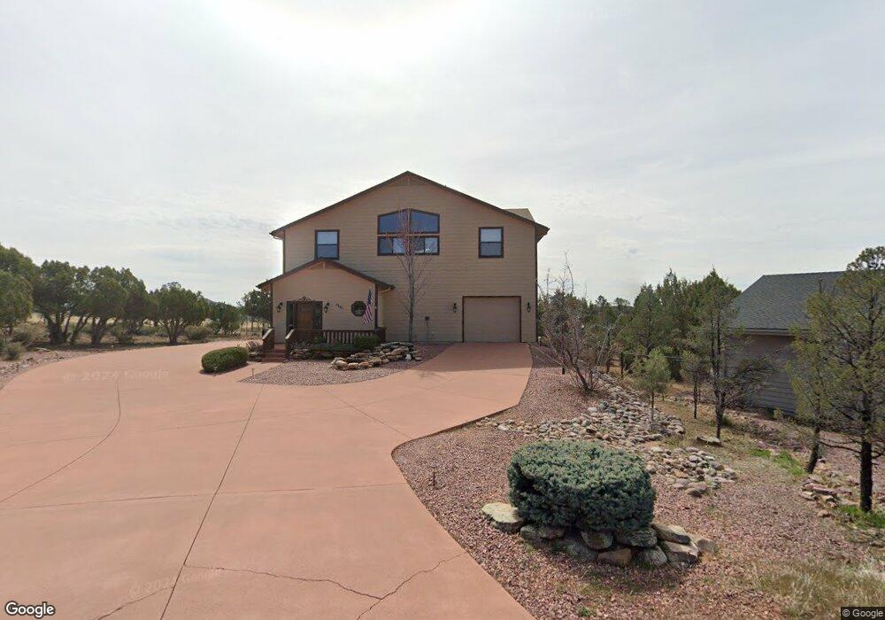
1301 W Aviator Cir Payson, AZ 85541
Estimated Value: $672,629
4
Beds
4
Baths
2,298
Sq Ft
$293/Sq Ft
Est. Value
About This Home
This home is located at 1301 W Aviator Cir, Payson, AZ 85541 and is currently priced at $672,629, approximately $292 per square foot. 1301 W Aviator Cir is a home located in Gila County with nearby schools including Julia Randall Elementary School, Payson Elementary School, and Rim Country Middle School.
Ownership History
Date
Name
Owned For
Owner Type
Purchase Details
Closed on
Dec 12, 2022
Sold by
West Thomas Lee
Bought by
Zulu Trust
Current Estimated Value
Purchase Details
Closed on
Aug 2, 2021
Sold by
Hustead Russell M
Bought by
West Thomas L
Purchase Details
Closed on
Jul 16, 2009
Sold by
Hustead Russell M and Deyoung Cynthia
Bought by
Hustead Russell M
Home Financials for this Owner
Home Financials are based on the most recent Mortgage that was taken out on this home.
Original Mortgage
$195,049
Interest Rate
5.37%
Mortgage Type
Stand Alone Refi Refinance Of Original Loan
Create a Home Valuation Report for This Property
The Home Valuation Report is an in-depth analysis detailing your home's value as well as a comparison with similar homes in the area
Home Values in the Area
Average Home Value in this Area
Purchase History
| Date | Buyer | Sale Price | Title Company |
|---|---|---|---|
| Zulu Trust | -- | -- | |
| West Thomas L | $600,000 | Pioneer Title Agency Inc | |
| Hustead Russell M | -- | Pioneer Title Agency |
Source: Public Records
Mortgage History
| Date | Status | Borrower | Loan Amount |
|---|---|---|---|
| Previous Owner | Hustead Russell M | $195,049 |
Source: Public Records
Tax History Compared to Growth
Tax History
| Year | Tax Paid | Tax Assessment Tax Assessment Total Assessment is a certain percentage of the fair market value that is determined by local assessors to be the total taxable value of land and additions on the property. | Land | Improvement |
|---|---|---|---|---|
| 2023 | $4,154 | $36,123 | $6,518 | $29,605 |
| 2022 | $4,154 | $36,123 | $6,518 | $29,605 |
| 2021 | $4,154 | $36,123 | $6,518 | $29,605 |
| 2020 | $3,991 | $0 | $0 | $0 |
| 2019 | $3,874 | $0 | $0 | $0 |
| 2018 | $3,645 | $0 | $0 | $0 |
| 2017 | $3,398 | $0 | $0 | $0 |
| 2016 | $3,328 | $0 | $0 | $0 |
| 2015 | $3,037 | $0 | $0 | $0 |
Source: Public Records
Map
Nearby Homes
- 1007 N Aviator Pkwy
- 2301 W Graff Dr
- 525 N Peak Loop
- 807 N Thunder Ridge Cir
- 506 N Peak Loop
- 804 N Falconcrest Dr Unit 13
- 804 N Falconcrest Dr
- 506 N Wagon Ct
- 801 N Thunder Ridge Cir Unit 318
- 502 N Wagon Ct
- 507 N Peak Loop
- 1200 W Airport Rd
- 1200 W Airport Rd Unit 6F
- 802 N Falconcrest Dr
- 802 N Falconcrest Dr Unit 14
- 505 N Peak Loop
- 1000 W Falcon Lookout Ln
- 1050 W Airport Rd
- 501 N Peak Loop
- 715 N Fox Hill Cir
- 1300 W Aviator Cir
- 1303 W Aviator Cir
- 1304 W Aviator Cir Unit 16
- 1304 W Aviator Cir
- 1302 W Aviator Cir
- 919 N Earhart Pkwy
- 1306 W Aviator Cir
- 1003 N Earhart Pkwy
- 1000 N Aviator Pkwy Unit 10
- 1000 N Aviator Pkwy
- 1001 N Aviator Pkwy Unit 18
- 1001 N Aviator Pkwy
- 1005 N Earhart Pkwy
- 1005 N Earhart Pkwy Unit 49
- 1004 N Earhart Pkwy
- 1002 N Aviator Pkwy
- 1007 N Earhart Pkwy
- 1007 N Earhart Pkwy Unit 50
- 1004 N Aviator Pkwy
- 1005 N Aviator Pkwy