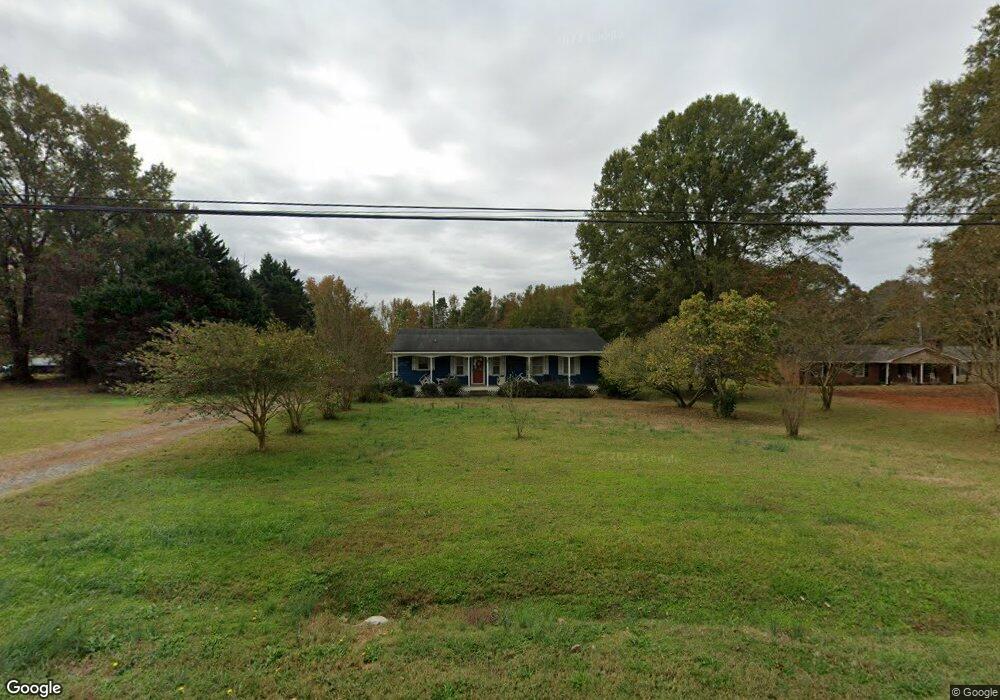
1301 W Sandy Ridge Rd Monroe, NC 28112
Estimated Value: $286,625 - $330,000
3
Beds
2
Baths
1,319
Sq Ft
$233/Sq Ft
Est. Value
About This Home
This home is located at 1301 W Sandy Ridge Rd, Monroe, NC 28112 and is currently estimated at $307,656, approximately $233 per square foot. 1301 W Sandy Ridge Rd is a home located in Union County with nearby schools including Prospect Elementary School, Parkwood Middle School, and Parkwood High School.
Ownership History
Date
Name
Owned For
Owner Type
Purchase Details
Closed on
Mar 17, 2011
Sold by
Hill Roy H and Hill Sybil C
Bought by
Helms Kimberly Ann
Current Estimated Value
Home Financials for this Owner
Home Financials are based on the most recent Mortgage that was taken out on this home.
Original Mortgage
$117,679
Outstanding Balance
$80,781
Interest Rate
4.77%
Mortgage Type
New Conventional
Estimated Equity
$226,875
Create a Home Valuation Report for This Property
The Home Valuation Report is an in-depth analysis detailing your home's value as well as a comparison with similar homes in the area
Home Values in the Area
Average Home Value in this Area
Purchase History
| Date | Buyer | Sale Price | Title Company |
|---|---|---|---|
| Helms Kimberly Ann | $114,000 | None Available |
Source: Public Records
Mortgage History
| Date | Status | Borrower | Loan Amount |
|---|---|---|---|
| Open | Helms Kimberly Ann | $117,679 |
Source: Public Records
Tax History Compared to Growth
Tax History
| Year | Tax Paid | Tax Assessment Tax Assessment Total Assessment is a certain percentage of the fair market value that is determined by local assessors to be the total taxable value of land and additions on the property. | Land | Improvement |
|---|---|---|---|---|
| 2024 | $1,080 | $172,800 | $28,000 | $144,800 |
| 2023 | $1,069 | $172,100 | $28,000 | $144,100 |
| 2022 | $1,069 | $172,100 | $28,000 | $144,100 |
| 2021 | $1,078 | $172,100 | $28,000 | $144,100 |
| 2020 | $918 | $116,250 | $18,950 | $97,300 |
| 2019 | $950 | $116,250 | $18,950 | $97,300 |
| 2018 | $950 | $116,250 | $18,950 | $97,300 |
| 2017 | $1,008 | $116,300 | $19,000 | $97,300 |
| 2016 | $991 | $116,250 | $18,950 | $97,300 |
| 2015 | $1,003 | $116,250 | $18,950 | $97,300 |
| 2014 | $1,009 | $139,490 | $36,790 | $102,700 |
Source: Public Records
Map
Nearby Homes
- 1822 Irby Rd
- 604 Gay Rd
- 2310 Ruben Rd
- 4120 Mcmanus Rd
- 2407 Ruben Rd
- 4114 Mcmanus Rd Unit 1p
- 0 Wolf Pond Rd Unit CAR4260991
- 18AC W M Griffin Rd
- 1325 Black Walnut St
- 6202 Plyler Mill Rd
- 3607 Austin Rd
- 5101 Garden Gate Dr
- 2605 Plyler Mill Rd
- 2601 Plyler Mill Rd
- 5606 S Rocky River Rd
- 6611 Plyler Mill Rd
- 4325 Wolf Pond Rd
- 5106 Pond Bluff Dr
- 2822 Molly Pop Ln
- 1812, 1806 Trinity Church Rd
- 1305 W Sandy Ridge Rd
- 1219 W Sandy Ridge Rd
- 1309 W Sandy Ridge Rd
- 1304 W Sandy Ridge Rd
- 1312 W Sandy Ridge Rd
- 1312 W Sandy Ridge Rd
- 1210 W Sandy Ridge Rd
- 1206 W Sandy Ridge Rd
- 1205 W Sandy Ridge Rd
- 1320 W Sandy Ridge Rd
- 1201 W Sandy Ridge Rd
- 1211 W Sandy Ridge Rd
- 1019 Clarksville Campground Rd
- 1122 W Sandy Ridge Rd
- 1106 Clarksville Campground Rd
- 1209 W Sandy Ridge Rd
- 1121 W Sandy Ridge Rd
- 1007 Clarksville Campground Rd
- 1101 Clarksville Campground Rd
- 1120 W Sandy Ridge Rd