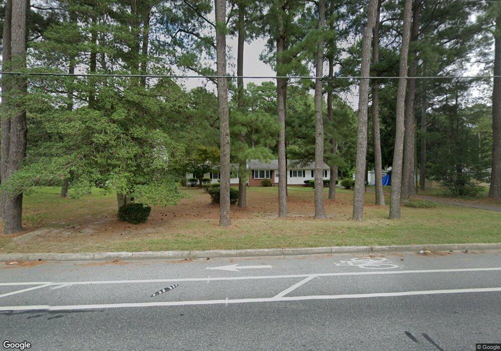
1301 West Rd Salisbury, MD 21801
North Salisbury NeighborhoodEstimated Value: $207,281 - $290,000
--
Bed
2
Baths
1,714
Sq Ft
$140/Sq Ft
Est. Value
About This Home
This home is located at 1301 West Rd, Salisbury, MD 21801 and is currently estimated at $240,070, approximately $140 per square foot. 1301 West Rd is a home located in Wicomico County with nearby schools including West Salisbury Elementary School, North Salisbury Elementary School, and Salisbury Middle School.
Ownership History
Date
Name
Owned For
Owner Type
Purchase Details
Closed on
Mar 1, 2000
Sold by
Dutton George A and Dutton Zenora M
Bought by
Dutton Zenora M
Current Estimated Value
Purchase Details
Closed on
Jan 3, 1978
Sold by
Fontaine William C and Fontaine Rosa L
Bought by
Dutton George A and Dutton Zenora M
Home Financials for this Owner
Home Financials are based on the most recent Mortgage that was taken out on this home.
Original Mortgage
$26,100
Interest Rate
9%
Create a Home Valuation Report for This Property
The Home Valuation Report is an in-depth analysis detailing your home's value as well as a comparison with similar homes in the area
Home Values in the Area
Average Home Value in this Area
Purchase History
| Date | Buyer | Sale Price | Title Company |
|---|---|---|---|
| Dutton Zenora M | $5,488 | -- | |
| Dutton George A | $27,600 | -- |
Source: Public Records
Mortgage History
| Date | Status | Borrower | Loan Amount |
|---|---|---|---|
| Previous Owner | Dutton George A | $26,100 | |
| Closed | Dutton Zenora M | -- |
Source: Public Records
Tax History Compared to Growth
Tax History
| Year | Tax Paid | Tax Assessment Tax Assessment Total Assessment is a certain percentage of the fair market value that is determined by local assessors to be the total taxable value of land and additions on the property. | Land | Improvement |
|---|---|---|---|---|
| 2025 | $1,371 | $154,400 | $0 | $0 |
| 2024 | $1,371 | $143,000 | $0 | $0 |
| 2023 | $1,301 | $131,600 | $21,200 | $110,400 |
| 2022 | $1,321 | $129,667 | $0 | $0 |
| 2021 | $1,302 | $127,733 | $0 | $0 |
| 2020 | $1,852 | $125,800 | $21,200 | $104,600 |
| 2019 | $1,098 | $123,533 | $0 | $0 |
| 2018 | $1,813 | $121,267 | $0 | $0 |
| 2017 | $1,368 | $119,000 | $0 | $0 |
| 2016 | -- | $119,000 | $0 | $0 |
| 2015 | $1,366 | $119,000 | $0 | $0 |
| 2014 | $1,366 | $120,200 | $0 | $0 |
Source: Public Records
Map
Nearby Homes
- 1201 Kiowa Ave
- 0 Queen Ave Unit MDWC2006982
- 0 Morris St
- 1107 Mineola Ave
- 29007 Adventist Dr
- 29015 Adventist Dr
- 822 Mersey Ln
- 830 Mersey Ln
- 832 Mersey Ln
- 834 Mersey Ln
- 842 Mersey Ln
- 809 Mersey Ln
- 1103 Tuscola Ave
- 0 N Delano Ave Unit MDWC2010148
- 1109 Shawnee Ave
- 650 Suffolk Ct
- JEFFERSON Plan at Sassafras Meadows
- 1712 Severn St
- 735 N Westover Dr
- 731 N Westover Dr