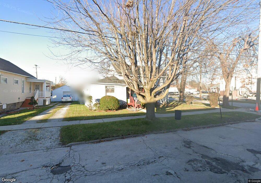
1301 Whipple St Port Huron, MI 48060
Estimated Value: $113,406 - $145,000
3
Beds
1
Bath
1,204
Sq Ft
$106/Sq Ft
Est. Value
About This Home
This home is located at 1301 Whipple St, Port Huron, MI 48060 and is currently estimated at $128,102, approximately $106 per square foot. 1301 Whipple St is a home located in St. Clair County with nearby schools including H.D. Crull Elementary School, Holland Woods Middle School, and Port Huron Northern High School.
Ownership History
Date
Name
Owned For
Owner Type
Purchase Details
Closed on
Sep 15, 2021
Sold by
Brown Marilyn and Odle Marilyn
Bought by
Brown Marilyn
Current Estimated Value
Home Financials for this Owner
Home Financials are based on the most recent Mortgage that was taken out on this home.
Original Mortgage
$50,100
Interest Rate
2.8%
Mortgage Type
Future Advance Clause Open End Mortgage
Create a Home Valuation Report for This Property
The Home Valuation Report is an in-depth analysis detailing your home's value as well as a comparison with similar homes in the area
Home Values in the Area
Average Home Value in this Area
Purchase History
| Date | Buyer | Sale Price | Title Company |
|---|---|---|---|
| Brown Marilyn | -- | None Available |
Source: Public Records
Mortgage History
| Date | Status | Borrower | Loan Amount |
|---|---|---|---|
| Closed | Brown Marilyn | $50,100 |
Source: Public Records
Tax History Compared to Growth
Tax History
| Year | Tax Paid | Tax Assessment Tax Assessment Total Assessment is a certain percentage of the fair market value that is determined by local assessors to be the total taxable value of land and additions on the property. | Land | Improvement |
|---|---|---|---|---|
| 2025 | $1,104 | $45,200 | $0 | $0 |
| 2024 | $873 | $42,000 | $0 | $0 |
| 2023 | $825 | $37,200 | $0 | $0 |
| 2022 | $793 | $31,800 | $0 | $0 |
| 2021 | $753 | $29,500 | $0 | $0 |
| 2020 | $762 | $27,400 | $27,400 | $0 |
| 2019 | $749 | $18,700 | $0 | $0 |
| 2018 | $732 | $18,700 | $0 | $0 |
| 2017 | $656 | $17,500 | $0 | $0 |
| 2016 | $548 | $17,500 | $0 | $0 |
| 2015 | $538 | $15,700 | $15,700 | $0 |
| 2014 | $538 | $15,000 | $15,000 | $0 |
| 2013 | -- | $15,100 | $0 | $0 |
Source: Public Records
Map
Nearby Homes
- 1433 Poplar St
- 1620 McBrady St
- 1649 Whipple St
- 1417 Kearney St
- 1733 Whipple St
- 1907 Riverside Dr
- 1819 Riverside Dr
- 2400 Stone St Unit 2414
- 917 Saint Clair St
- 1002 Erie St
- 2419 Cherry St
- 1116 Hancock St
- 711 Stanton St
- 0000 Campau Ave
- 1321 Nelson St
- 2431 Armour St
- 805 Pine Grove Ave
- 2534 Forest St
- 29 Taylor St
- 2215 Hancock St
- 1309 Whipple St
- 1702 10th Ave
- 1700 Poplar St
- 1710 10th Ave
- 1716 10th Ave
- 1635 Pine Grove Ave
- 1723 Poplar St
- 1725 Poplar St
- 1723 Pine Grove Ave
- 1703 Pine Grove Ave
- 1722 10th Ave
- 1726 10th Ave
- 1727 Pine Grove Ave
- 1703 10th Ave
- 1709 10th Ave
- 1616 10th Ave
- 1737 Pine Grove Ave
- 1732 10th Ave
- 1627 Elk St Unit Bldg-Unit
- 1627 Elk St