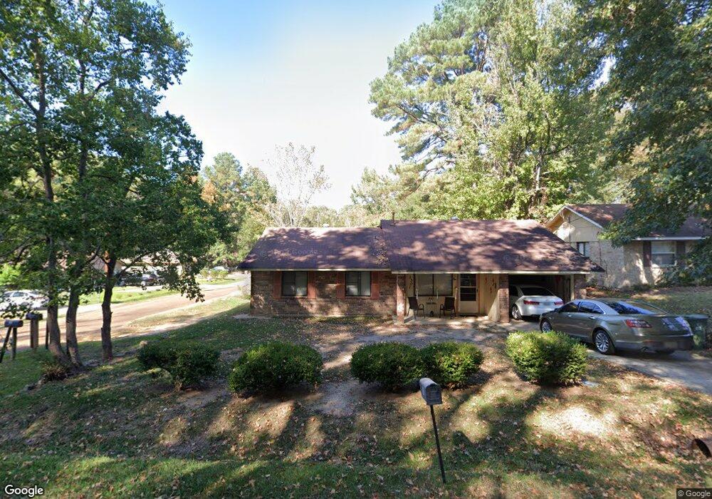
1301 Wyoming Ave Ruston, LA 71270
Estimated Value: $119,000 - $148,924
--
Bed
1
Bath
1,193
Sq Ft
$109/Sq Ft
Est. Value
About This Home
This home is located at 1301 Wyoming Ave, Ruston, LA 71270 and is currently estimated at $130,231, approximately $109 per square foot. 1301 Wyoming Ave is a home located in Lincoln Parish with nearby schools including Ruston Elementary School, Hillcrest Elementary School, and Ruston Junior High School.
Ownership History
Date
Name
Owned For
Owner Type
Purchase Details
Closed on
Nov 16, 2007
Sold by
Colvin & Company Inc
Bought by
Sears Mario Teral and Sears Kimberly Shawn Tay
Current Estimated Value
Home Financials for this Owner
Home Financials are based on the most recent Mortgage that was taken out on this home.
Original Mortgage
$45,000
Outstanding Balance
$28,472
Interest Rate
6.38%
Mortgage Type
Purchase Money Mortgage
Estimated Equity
$101,759
Create a Home Valuation Report for This Property
The Home Valuation Report is an in-depth analysis detailing your home's value as well as a comparison with similar homes in the area
Home Values in the Area
Average Home Value in this Area
Purchase History
| Date | Buyer | Sale Price | Title Company |
|---|---|---|---|
| Sears Mario Teral | $70,500 | None Available |
Source: Public Records
Mortgage History
| Date | Status | Borrower | Loan Amount |
|---|---|---|---|
| Open | Sears Mario Teral | $45,000 |
Source: Public Records
Tax History Compared to Growth
Tax History
| Year | Tax Paid | Tax Assessment Tax Assessment Total Assessment is a certain percentage of the fair market value that is determined by local assessors to be the total taxable value of land and additions on the property. | Land | Improvement |
|---|---|---|---|---|
| 2024 | $1,034 | $12,118 | $2,040 | $10,078 |
| 2023 | $758 | $8,525 | $298 | $8,227 |
| 2022 | $761 | $8,525 | $298 | $8,227 |
| 2021 | $705 | $8,525 | $298 | $8,227 |
| 2020 | $668 | $8,043 | $340 | $7,703 |
| 2019 | $653 | $8,043 | $340 | $7,703 |
| 2018 | $635 | $8,043 | $340 | $7,703 |
| 2017 | $637 | $8,043 | $340 | $7,703 |
| 2016 | $635 | $0 | $0 | $0 |
| 2015 | $570 | $6,642 | $340 | $6,302 |
| 2013 | $579 | $6,642 | $340 | $6,302 |
Source: Public Records
Map
Nearby Homes
- 1401 Wyoming Ave
- 1200 E Mississippi Ave
- 000 Eastland Ave
- 000 Woodland St
- 1203 Kenwood Dr
- 800 McDonald Ave
- 112 Biltmore St
- 322 N Bernard St
- 000 Louisiana 33
- 00 Louisiana 146
- 1109 Highway 33
- 1406 Brewster Ave
- 102 Calvin Ave Unit 707 S Farmerville St
- 1414 Brewster Ave
- 1815 E Georgia Ave
- 708 S Farmerville St
- 714 S Farmerville St
- 707 Kirkland St
- 711 Kirkland St
- 2003 Jonathan Dr
- 1303 Wyoming Ave
- 205 Lafayette St
- 1305 Wyoming Ave
- 208 Lafayette St
- 206 Lafayette St
- 203 Lafayette St
- 210 Lafayette St
- 202 Lafayette St
- 1307 Wyoming Ave
- 1304 Wyoming Ave
- 302 Troy St
- 1300 McDonald Ave
- 1302 McDonald Ave
- 1208 McDonald Ave
- 1403 Wyoming Ave
- 1206 McDonald Ave
- 304 Troy St
- 1304 McDonald Ave
- 205 S Bernard St
- 1204 McDonald Ave