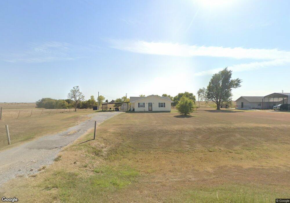
13011 State Highway 19 Apache, OK 73006
Estimated Value: $125,928 - $205,000
3
Beds
2
Baths
1,500
Sq Ft
$103/Sq Ft
Est. Value
About This Home
This home is located at 13011 State Highway 19, Apache, OK 73006 and is currently estimated at $154,732, approximately $103 per square foot. 13011 State Highway 19 is a home located in Caddo County with nearby schools including Apache Elementary School, Apache Middle School, and Apache High School.
Ownership History
Date
Name
Owned For
Owner Type
Purchase Details
Closed on
Aug 16, 2023
Sold by
Fannie Mae
Bought by
Wilkinson Corey and Brown Stephanie
Current Estimated Value
Purchase Details
Closed on
Oct 27, 2021
Sold by
Austin Teresa Gaylene
Bought by
Oklahoma Sunset Rental Llc
Purchase Details
Closed on
Mar 14, 2013
Sold by
Porter Teresa G
Bought by
Austin Teresa G
Purchase Details
Closed on
Jul 6, 2007
Purchase Details
Closed on
Jun 3, 1999
Create a Home Valuation Report for This Property
The Home Valuation Report is an in-depth analysis detailing your home's value as well as a comparison with similar homes in the area
Home Values in the Area
Average Home Value in this Area
Purchase History
| Date | Buyer | Sale Price | Title Company |
|---|---|---|---|
| Wilkinson Corey | $32,000 | None Listed On Document | |
| Oklahoma Sunset Rental Llc | $50,000 | None Available | |
| Austin Teresa G | -- | -- | |
| -- | -- | -- | |
| -- | -- | -- |
Source: Public Records
Tax History Compared to Growth
Tax History
| Year | Tax Paid | Tax Assessment Tax Assessment Total Assessment is a certain percentage of the fair market value that is determined by local assessors to be the total taxable value of land and additions on the property. | Land | Improvement |
|---|---|---|---|---|
| 2025 | $743 | $7,827 | $902 | $6,925 |
| 2024 | $743 | $9,175 | $902 | $8,273 |
| 2023 | $895 | $8,738 | $902 | $7,836 |
| 2022 | $762 | $8,322 | $902 | $7,420 |
| 2021 | $289 | $2,499 | $902 | $1,597 |
| 2020 | $239 | $2,380 | $902 | $1,478 |
| 2019 | $231 | $2,267 | $902 | $1,365 |
| 2018 | $238 | $2,159 | $902 | $1,257 |
| 2017 | $215 | $2,056 | $902 | $1,154 |
| 2016 | $209 | $1,958 | $902 | $1,056 |
| 2015 | $148 | $1,865 | $902 | $963 |
| 2014 | $147 | $1,776 | $902 | $874 |
Source: Public Records
Map
Nearby Homes
- TBD 2580
- TBD Edgewater Park Unit L12-13, B10
- TBD Edgewater Park Unit L23, B4
- TBD Edgewater Park Unit L24, B7
- TBD U S Highway 62
- 301 E Mckinley Ave
- 48189 County Street 2580
- 1106 E Floyd Ave
- 1100 NE King Rd
- 1430
- 207 N Hillside Rd
- 116 N Lakeside Dr
- 115 N Brookdale
- 19012 Oklahoma 19
- 13872 NW Stoney Point Rd
- 0 E 1410 Rd
- 67 Ash Ave
- 0 E Cs 2630 & Cr 1420 Rd Unit 1195810
- 5605 NE Snowy Owl Rd
- 000 NW Shroyer Rd
- 46005 County Street 2570
- 13045 State Highway 19
- 13057 State Highway 19
- 45099 County Street 2570
- 13124 State Highway 19
- 13135 State Highway 19
- 13168 State Highway 19
- RT 1 Box 4580
- 913 E Floyd
- 14023 County Rd 1484
- Rt 3 Box 207 B
- RT 2 Cr 1410
- Rt 1 Box 1075
- Rt 1 Box 1050
- RT 2 Box 6110
- RT 1 Box 2150
- Lot 19 N Hillside Rd
- Lot 20 N Hillside Rd
- 313 N Locust
- Rt 2 Box 6610