13015 Eagles Nest Dr Whitney, TX 76692
Estimated Value: $597,000 - $740,000
5
Beds
5
Baths
4,479
Sq Ft
$147/Sq Ft
Est. Value
About This Home
This home is located at 13015 Eagles Nest Dr, Whitney, TX 76692 and is currently estimated at $660,212, approximately $147 per square foot. 13015 Eagles Nest Dr is a home located in Hill County with nearby schools including Whitney Elementary School, Whitney Intermediate School, and Whitney Middle School.
Ownership History
Date
Name
Owned For
Owner Type
Purchase Details
Closed on
Jun 13, 2022
Sold by
Gene Mankins Donald and Hager Greta
Bought by
Mankins Living Trust
Current Estimated Value
Purchase Details
Closed on
Jan 27, 2016
Sold by
Ogarrio J Gregory
Bought by
Mankins Donald G and Mankins Greta H
Home Financials for this Owner
Home Financials are based on the most recent Mortgage that was taken out on this home.
Original Mortgage
$267,200
Interest Rate
4.01%
Mortgage Type
New Conventional
Create a Home Valuation Report for This Property
The Home Valuation Report is an in-depth analysis detailing your home's value as well as a comparison with similar homes in the area
Home Values in the Area
Average Home Value in this Area
Purchase History
| Date | Buyer | Sale Price | Title Company |
|---|---|---|---|
| Mankins Living Trust | -- | None Listed On Document | |
| Mankins Donald G | -- | Micro Title Hill County Llc |
Source: Public Records
Mortgage History
| Date | Status | Borrower | Loan Amount |
|---|---|---|---|
| Previous Owner | Mankins Donald G | $267,200 |
Source: Public Records
Tax History Compared to Growth
Tax History
| Year | Tax Paid | Tax Assessment Tax Assessment Total Assessment is a certain percentage of the fair market value that is determined by local assessors to be the total taxable value of land and additions on the property. | Land | Improvement |
|---|---|---|---|---|
| 2025 | $8,956 | $584,053 | $0 | $0 |
| 2024 | $8,142 | $551,560 | $33,610 | $517,950 |
| 2023 | $7,515 | $533,570 | $33,610 | $499,960 |
| 2022 | $8,208 | $484,780 | $24,030 | $460,750 |
| 2021 | $8,477 | $414,110 | $24,030 | $390,080 |
| 2020 | $8,050 | $362,650 | $24,030 | $338,620 |
| 2019 | $7,902 | $339,870 | $21,260 | $318,610 |
| 2018 | $7,915 | $340,960 | $21,470 | $319,490 |
| 2017 | $8,091 | $345,350 | $21,480 | $323,870 |
| 2016 | $8,361 | $356,870 | $22,740 | $334,130 |
| 2015 | -- | $345,120 | $21,250 | $323,870 |
| 2014 | -- | $333,450 | $22,490 | $310,960 |
Source: Public Records
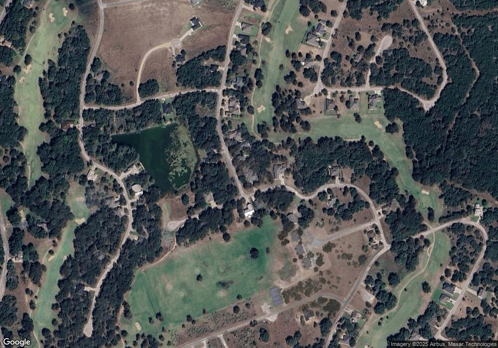
Map
Nearby Homes
- 13012 Crestwood Dr
- 13106 Range Ct
- 13005 Crestwood Dr
- 7135 Sandy Oaks Dr
- 14004 Sandy Oaks Dr
- 14024 Sandy Oaks Dr
- 14048 Sandy Oaks Dr
- 7138 Sandy Oaks Dr
- 7141 Sandy Oaks Dr
- 14076 Sandy Oaks Dr
- 17059 Trailwood Dr
- 14063 Sandy Oaks Dr
- 17048 Faircrest Dr
- 7050 Golf Dr
- 16021 Faircrest Dr
- 17081 Faircrest Dr
- 1090 White Bluff Dr
- 1091 White Bluff Dr
- 17134 Woodlawn Dr
- 7007 Golf Dr
- 13014 Crestwood Dr
- 13017 Eagles Nest Dr
- 13088 Crestwood Dr
- 13013 Crestwood Dr
- 13087 Crestwood Dr
- 13019 Eagles Nest Dr
- 13069 Eagles Nest Dr
- 13074 Crestwood Dr
- 13001 Crestwood
- 13007 Crestwood
- 13010 & 13011 Crestwood
- 13021 Eagles Nest Dr
- 13083 Crestwood Dr
- 13076 Crestwood Dr
- 13094 Crestwood Dr
- 13009 Crestwood Dr
- 14015 Sandy Oaks Dr
- 13077 Crestwood Dr
- 18 Eagle Nest Dr
- 13081 Crestwood Dr