13016 134th Ave Unit AI Anderson Island, WA 98303
Estimated Value: $889,000 - $1,123,989
2
Beds
2
Baths
3,229
Sq Ft
$311/Sq Ft
Est. Value
About This Home
This home is located at 13016 134th Ave Unit AI, Anderson Island, WA 98303 and is currently estimated at $1,003,997, approximately $310 per square foot. 13016 134th Ave Unit AI is a home located in Pierce County with nearby schools including Anderson Island Elementary School, Pioneer Middle School, and Steilacoom High School.
Ownership History
Date
Name
Owned For
Owner Type
Purchase Details
Closed on
Sep 10, 2018
Sold by
Wilson Robert H and Wilson Karen D
Bought by
Kvasnyuk Nikolay and Walsh Nina Alexander
Current Estimated Value
Home Financials for this Owner
Home Financials are based on the most recent Mortgage that was taken out on this home.
Original Mortgage
$562,500
Outstanding Balance
$490,578
Interest Rate
4.6%
Mortgage Type
New Conventional
Estimated Equity
$513,419
Create a Home Valuation Report for This Property
The Home Valuation Report is an in-depth analysis detailing your home's value as well as a comparison with similar homes in the area
Home Values in the Area
Average Home Value in this Area
Purchase History
| Date | Buyer | Sale Price | Title Company |
|---|---|---|---|
| Kvasnyuk Nikolay | $624,719 | Chicago Title |
Source: Public Records
Mortgage History
| Date | Status | Borrower | Loan Amount |
|---|---|---|---|
| Open | Kvasnyuk Nikolay | $562,500 |
Source: Public Records
Tax History Compared to Growth
Tax History
| Year | Tax Paid | Tax Assessment Tax Assessment Total Assessment is a certain percentage of the fair market value that is determined by local assessors to be the total taxable value of land and additions on the property. | Land | Improvement |
|---|---|---|---|---|
| 2025 | $10,528 | $1,046,800 | $273,600 | $773,200 |
| 2024 | $10,528 | $1,064,800 | $267,500 | $797,300 |
| 2023 | $10,528 | $1,013,400 | $276,000 | $737,400 |
| 2022 | $8,152 | $905,900 | $276,000 | $629,900 |
| 2021 | $8,672 | $689,100 | $188,500 | $500,600 |
| 2019 | $8,448 | $646,900 | $172,700 | $474,200 |
| 2018 | $8,846 | $655,300 | $192,700 | $462,600 |
| 2017 | $7,785 | $608,800 | $165,600 | $443,200 |
| 2016 | $7,884 | $574,600 | $144,500 | $430,100 |
| 2014 | $6,634 | $543,800 | $123,000 | $420,800 |
| 2013 | $6,634 | $420,500 | $125,900 | $294,600 |
Source: Public Records
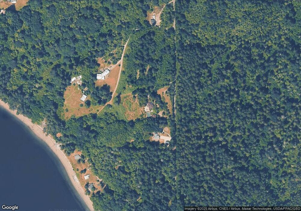
Map
Nearby Homes
- 14416 Sandberg Rd
- 10217 Eckenstam Johnson Rd
- 10205 Eckenstam Johnson Rd
- 12212 Sound Dr
- 11106 Spruce Dr
- 11022 Spruce Dr
- 12801 108th St
- 12805 108th St Unit AI
- 11422 Leschi Cir
- 10511 130th Ave
- 10608 Edgewood Dr
- 10508 Anchor Place
- 10602 Vantage Dr
- 10611 Vantage Dr
- 10607 Edgewood Dr Unit lot4&5
- 11920 Country Club Dr
- 11511 Lake Josephine Ave
- 11024 Cascade Place
- 10915 Maple Place
- 11913 Country Club Dr
- 13112 134th Ave
- 12918 134th Ave
- 12912 134th Avenue Ct
- 12912 134th Ave
- 13014 134th Ave
- 13614 132nd St
- 13614 132nd Street Ct Unit AI
- 13606 132nd Street Ct
- 13602 132nd St
- 12808 134th Ave
- 13427 134th Ave NW
- 13502 134th Ave
- 13407 Brandt Rd
- 13503 134th Ave
- 12728 Claussen Rd Unit AI
- 13715 Brandt Rd
- 13506 131st Avenue Ct
- 12518 134th Ave
- 12804 Eckenstam Johnson Rd
- 13006 Eckenstam Johnson Rd