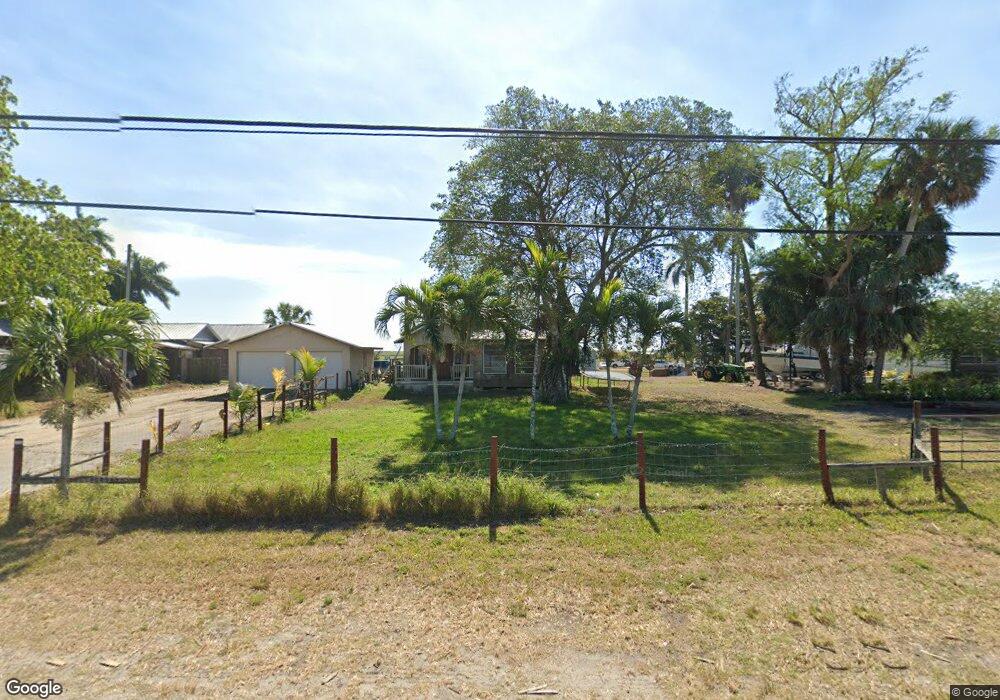
13016 Us Highway 441 Canal Point, FL 33438
Estimated Value: $140,104 - $188,000
--
Bed
1
Bath
1,404
Sq Ft
$118/Sq Ft
Est. Value
About This Home
This home is located at 13016 Us Highway 441, Canal Point, FL 33438 and is currently estimated at $165,701, approximately $118 per square foot. 13016 Us Highway 441 is a home located in Palm Beach County with nearby schools including K.E. Cunningham/Canal Point Elementary School, Pahokee Middle/Senior High School, and GAP Christian Academy.
Ownership History
Date
Name
Owned For
Owner Type
Purchase Details
Closed on
May 18, 2023
Sold by
Shay Douglas
Bought by
Sears Jennie M and Acosta Yasmany
Current Estimated Value
Purchase Details
Closed on
Oct 31, 2022
Sold by
English Kaitlynn Shay
Bought by
Shay Douglas Walter
Purchase Details
Closed on
Jul 19, 2018
Sold by
Shay Douglas
Bought by
English Kaitlynn Shay and English Christopher
Purchase Details
Closed on
Nov 25, 2009
Sold by
Nance Catherine E and Nance Katherine C
Bought by
Shay Kaitlynn
Home Financials for this Owner
Home Financials are based on the most recent Mortgage that was taken out on this home.
Original Mortgage
$48,000
Interest Rate
6%
Mortgage Type
Seller Take Back
Purchase Details
Closed on
Nov 3, 1994
Sold by
Hall Perry E and Hall Velma E
Bought by
Brown Wilbur S and Brown Lola I
Create a Home Valuation Report for This Property
The Home Valuation Report is an in-depth analysis detailing your home's value as well as a comparison with similar homes in the area
Home Values in the Area
Average Home Value in this Area
Purchase History
| Date | Buyer | Sale Price | Title Company |
|---|---|---|---|
| Sears Jennie M | -- | None Listed On Document | |
| Sears Jennie M | -- | None Listed On Document | |
| Shay Douglas Walter | -- | -- | |
| English Kaitlynn Shay | -- | None Available | |
| Shay Kaitlynn | $50,000 | Attorney | |
| Brown Wilbur S | $50,000 | -- |
Source: Public Records
Mortgage History
| Date | Status | Borrower | Loan Amount |
|---|---|---|---|
| Previous Owner | Shay Kaitlynn | $48,000 |
Source: Public Records
Tax History Compared to Growth
Tax History
| Year | Tax Paid | Tax Assessment Tax Assessment Total Assessment is a certain percentage of the fair market value that is determined by local assessors to be the total taxable value of land and additions on the property. | Land | Improvement |
|---|---|---|---|---|
| 2024 | $575 | $108,748 | -- | -- |
| 2023 | $2,267 | $102,724 | $26,553 | $76,171 |
| 2022 | $1,903 | $71,097 | $0 | $0 |
| 2021 | $1,759 | $78,107 | $19,072 | $59,035 |
| 2020 | $1,632 | $69,082 | $10,000 | $59,082 |
| 2019 | $1,479 | $53,416 | $10,000 | $43,416 |
| 2018 | $1,351 | $48,664 | $9,677 | $38,987 |
| 2017 | $1,250 | $48,121 | $8,415 | $39,706 |
| 2016 | $1,236 | $46,186 | $0 | $0 |
| 2015 | $1,275 | $46,887 | $0 | $0 |
| 2014 | $1,297 | $46,822 | $0 | $0 |
Source: Public Records
Map
Nearby Homes
- 12588 Us-441 S
- 12537 Lakeshore Dr
- 2076 E Main St
- 1697 E Main St
- 491 W Jordan Blvd
- 1500 Rev Jesse Biggs Blvd
- 1311 Larrimore Rd
- 360 Kismet Ave
- 334 S Barfield Hwy
- 197 W Main St
- 176 Bacom Point Rd
- 398 Cypress Ave
- 33 Muck City Rd
- 875 Joe Louis Ave
- 0 S Lake Ave Unit R11061220
- 297 E 4th St
- 1450 Muck City Rd
- 364 S Lake Ave
- 353 S Lake Place
- 363 S Lake Ave Unit 1
- 13034 Us Highway 441
- 13042 Us Highway 441
- 13050 Us Highway 441
- 13062 Us Highway 441
- 12950 Us Highway 441
- 12940 Us Highway 441
- 13076 Us Highway 441
- 12900 Us Highway 441
- 13094 Us Highway 441
- 36861 5th St
- 36841 5th St
- 36831 5th St
- 12820 Everglades St
- 36850 5th St
- 36821 5th St
- 36840 5th St
- 36811 5th St
- 36830 5th St
- 36801 5th St
- 36891 4th St