Estimated Value: $311,674 - $430,000
3
Beds
2
Baths
1,500
Sq Ft
$243/Sq Ft
Est. Value
About This Home
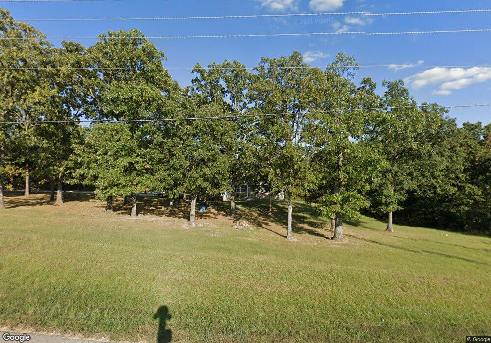
This home is located at 13018 N State Highway 21, Cadet, MO 63630 and is currently estimated at $364,891, approximately $243 per square foot. 13018 N State Highway 21 is a home located in Washington County with nearby schools including Kingston Primary School, Kingston Elementary School, and Kingston Middle School.
Ownership History
Date
Name
Owned For
Owner Type
Purchase Details
Closed on
Jul 19, 2013
Sold by
Fulton Joshua W and Fulton Angie
Bought by
Bidner Billie W
Current Estimated Value
Home Financials for this Owner
Home Financials are based on the most recent Mortgage that was taken out on this home.
Original Mortgage
$131,632
Outstanding Balance
$95,756
Interest Rate
3.93%
Estimated Equity
$269,135
Purchase Details
Closed on
Feb 3, 2010
Sold by
Citimortgage Inc By Bayview Loan Serv
Bought by
Fulton Joshua W
Home Financials for this Owner
Home Financials are based on the most recent Mortgage that was taken out on this home.
Original Mortgage
$108,163
Interest Rate
4.98%
Create a Home Valuation Report for This Property
The Home Valuation Report is an in-depth analysis detailing your home's value as well as a comparison with similar homes in the area
Home Values in the Area
Average Home Value in this Area
Purchase History
| Date | Buyer | Sale Price | Title Company |
|---|---|---|---|
| Bidner Billie W | -- | -- | |
| Fulton Joshua W | -- | -- |
Source: Public Records
Mortgage History
| Date | Status | Borrower | Loan Amount |
|---|---|---|---|
| Open | Bidner Billie W | $131,632 | |
| Previous Owner | Fulton Joshua W | $108,163 |
Source: Public Records
Tax History Compared to Growth
Tax History
| Year | Tax Paid | Tax Assessment Tax Assessment Total Assessment is a certain percentage of the fair market value that is determined by local assessors to be the total taxable value of land and additions on the property. | Land | Improvement |
|---|---|---|---|---|
| 2024 | $1,433 | $26,330 | $2,910 | $23,420 |
| 2023 | $1,430 | $26,410 | $2,900 | $23,510 |
| 2022 | $1,430 | $26,410 | $2,900 | $23,510 |
| 2021 | $1,438 | $26,410 | $2,900 | $23,510 |
| 2020 | $1,444 | $26,410 | $2,900 | $23,510 |
| 2019 | $1,440 | $26,410 | $2,900 | $23,510 |
| 2018 | $1,443 | $26,410 | $0 | $0 |
| 2017 | $1,439 | $26,410 | $2,900 | $23,510 |
| 2016 | $1,419 | $26,410 | $2,900 | $23,510 |
| 2014 | -- | $26,600 | $0 | $0 |
| 2013 | -- | $26,600 | $0 | $0 |
| 2012 | -- | $26,600 | $0 | $0 |
Source: Public Records
Map
Nearby Homes
- 10248 Keyes Branch Rd
- 10012 Yellowstone Dr
- 10014 Yellowstone Dr
- 10054 Yellowstone Dr
- 10056 Yellowstone Dr
- 10179 Cherry Hill Ln
- 13085 E State Hwy E
- 705 Bonnie St
- 30 Acres Hwy E
- 1101 Richeson Rd
- 507 Coleman Ave
- 610 Coleman Ave
- 401 Clara Ave
- 207 Clara Ave
- Tract 1 Dusty Rd
- 905 Teasdale St
- 0 Bell St
- 20 Acres Hwy E
- 50 Acres Hwy E
- 303 Cordia Ave
- 13018 N State Hwy 21
- 10081 Rolling Hills Rd
- 10081 Rolling Hills Rd
- 10151 Rolling Hills Rd
- 10151 Rolling Hills Rd
- 10151 Rolling Hills Rd
- 0 N Hwy 21 Unit 9527403
- 10019 Farris Rd
- 0 Rolling Hills Dr
- 10026 Rolling Hills Rd
- 10026 Rolling Hills Rd Unit 21
- 10096 Rolling Hills Dr
- 10185 Rolling Hills Rd
- 10006 Radio Station Rd
- 10169 Farris Rd
- 10168 Rolling Hills Rd
- 10036 Farris Rd
- 10168 Rolling Hills Rd
- 12801 N State Highway 21
- 12578 Hwy 21