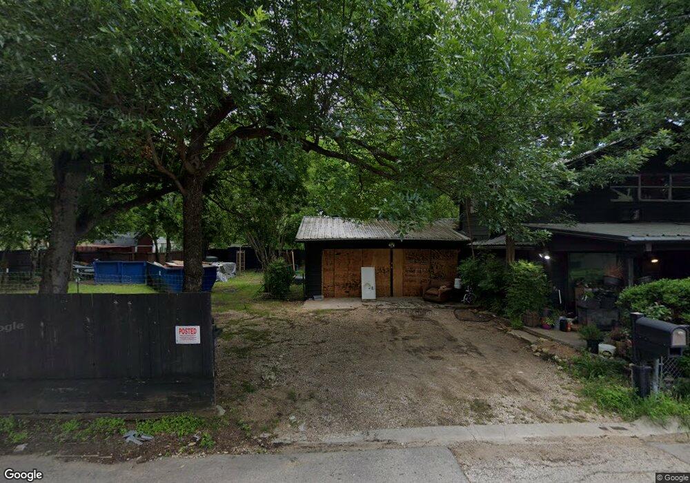
1302 Baird St Cleburne, TX 76033
Estimated Value: $175,624 - $189,000
3
Beds
2
Baths
1,140
Sq Ft
$160/Sq Ft
Est. Value
About This Home
This home is located at 1302 Baird St, Cleburne, TX 76033 and is currently estimated at $182,656, approximately $160 per square foot. 1302 Baird St is a home located in Johnson County with nearby schools including Irving Elementary School, A.D. Wheat Middle School, and Cleburne High School.
Ownership History
Date
Name
Owned For
Owner Type
Purchase Details
Closed on
Dec 1, 2017
Sold by
Campbell And Assdociates Investments Pro
Bought by
Brown Jordan and Trexler Ashley
Current Estimated Value
Home Financials for this Owner
Home Financials are based on the most recent Mortgage that was taken out on this home.
Original Mortgage
$73,000
Interest Rate
4.9%
Mortgage Type
Purchase Money Mortgage
Purchase Details
Closed on
Mar 30, 2017
Sold by
Leck Stephen Lee and Roop Perry Don
Bought by
Capbell & Associates Investment Properti
Home Financials for this Owner
Home Financials are based on the most recent Mortgage that was taken out on this home.
Original Mortgage
$21,750
Interest Rate
4.15%
Mortgage Type
Purchase Money Mortgage
Create a Home Valuation Report for This Property
The Home Valuation Report is an in-depth analysis detailing your home's value as well as a comparison with similar homes in the area
Home Values in the Area
Average Home Value in this Area
Purchase History
| Date | Buyer | Sale Price | Title Company |
|---|---|---|---|
| Brown Jordan | -- | None Available | |
| Capbell & Associates Investment Properti | -- | Rattikin Title Co |
Source: Public Records
Mortgage History
| Date | Status | Borrower | Loan Amount |
|---|---|---|---|
| Previous Owner | Brown Jordan | $73,000 | |
| Previous Owner | Capbell & Associates Investment Properti | $21,750 |
Source: Public Records
Tax History
| Year | Tax Paid | Tax Assessment Tax Assessment Total Assessment is a certain percentage of the fair market value that is determined by local assessors to be the total taxable value of land and additions on the property. | Land | Improvement |
|---|---|---|---|---|
| 2025 | $2,686 | $120,485 | $39,000 | $81,485 |
| 2024 | $2,686 | $120,485 | $39,000 | $81,485 |
| 2023 | $2,436 | $109,485 | $28,000 | $81,485 |
| 2022 | $2,740 | $109,485 | $28,000 | $81,485 |
| 2021 | $2,857 | $109,485 | $28,000 | $81,485 |
| 2020 | $2,041 | $73,654 | $20,000 | $53,654 |
| 2019 | $2,176 | $73,654 | $20,000 | $53,654 |
| 2018 | $1,630 | $55,142 | $15,000 | $40,142 |
| 2017 | $1,623 | $55,142 | $15,000 | $40,142 |
| 2016 | $1,679 | $57,052 | $15,000 | $42,052 |
| 2015 | $1,521 | $57,052 | $15,000 | $42,052 |
| 2014 | $1,521 | $57,052 | $15,000 | $42,052 |
Source: Public Records
Map
Nearby Homes
- 700 Poindexter Ave
- 504 Bales St
- 807 Poindexter Ave
- 916 Poindexter Ave
- 718 Turner St
- 502 Madison St
- 910 Baird St
- 411 Euclid St
- 1304 N Wood St
- 1102 Poindexter Ave
- 103 Myers Ave
- 1105 Poindexter Ave
- 603 Lilly St
- 809 Euclid St
- 805 Phillips St
- 405 Odell St
- 1111 N Douglas Ave Unit Lot 2
- 1116 Poindexter Ave
- 905 Euclid St
- 1307 Joslin St
- 606 Poindexter Ave
- 604 Poindexter Ave
- 447 Bales St
- 602 Poindexter Ave
- 443 Bales St
- 501 Bales St
- 702 Poindexter Ave
- 704 Poindexter Ave
- 439 Bales St
- 607 Poindexter Ave
- 605 Poindexter Ave
- 503 Bales St
- 510 Poindexter Ave
- 603 Poindexter Ave
- 437 Bales St
- 706 Poindexter Ave
- 511 Poindexter Ave
- 705 Poindexter Ave
- 507 Bales St
- 433 Bales St
Your Personal Tour Guide
Ask me questions while you tour the home.