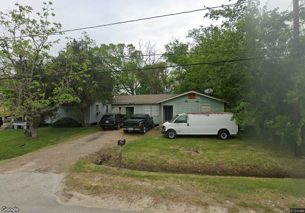
1302 Bland St Houston, TX 77091
Acres Homes NeighborhoodEstimated Value: $111,000 - $162,000
3
Beds
1
Bath
864
Sq Ft
$160/Sq Ft
Est. Value
About This Home
This home is located at 1302 Bland St, Houston, TX 77091 and is currently estimated at $138,183, approximately $159 per square foot. 1302 Bland St is a home located in Harris County with nearby schools including Reece Academy, Anderson Academy, and Drew Academy.
Ownership History
Date
Name
Owned For
Owner Type
Purchase Details
Closed on
Sep 16, 2024
Sold by
Braun Builders Llc
Bought by
Kenniston Development Fund I Llc
Current Estimated Value
Purchase Details
Closed on
Jul 1, 2009
Sold by
Williams Deborah
Bought by
Tibet Management Llc
Purchase Details
Closed on
Mar 23, 2007
Sold by
Mcginnis Margaret and Williams Deborah
Bought by
Williams Deborah
Create a Home Valuation Report for This Property
The Home Valuation Report is an in-depth analysis detailing your home's value as well as a comparison with similar homes in the area
Home Values in the Area
Average Home Value in this Area
Purchase History
| Date | Buyer | Sale Price | Title Company |
|---|---|---|---|
| Kenniston Development Fund I Llc | -- | None Listed On Document | |
| Tibet Management Llc | -- | None Available | |
| Williams Deborah | -- | None Available |
Source: Public Records
Tax History Compared to Growth
Tax History
| Year | Tax Paid | Tax Assessment Tax Assessment Total Assessment is a certain percentage of the fair market value that is determined by local assessors to be the total taxable value of land and additions on the property. | Land | Improvement |
|---|---|---|---|---|
| 2025 | $2,676 | $120,744 | $68,350 | $52,394 |
| 2024 | $2,676 | $117,900 | $68,350 | $49,550 |
| 2023 | $2,486 | $113,103 | $63,379 | $49,724 |
| 2022 | $1,590 | $66,275 | $31,723 | $34,552 |
| 2021 | $967 | $38,500 | $13,218 | $25,282 |
| 2020 | $690 | $26,157 | $13,218 | $12,939 |
| 2019 | $724 | $26,157 | $13,218 | $12,939 |
| 2018 | $338 | $23,513 | $10,574 | $12,939 |
| 2017 | $624 | $23,513 | $10,574 | $12,939 |
| 2016 | $624 | $23,513 | $10,574 | $12,939 |
| 2015 | $520 | $19,548 | $6,609 | $12,939 |
| 2014 | $520 | $19,548 | $6,609 | $12,939 |
Source: Public Records
Map
Nearby Homes
- 0 Bland St
- 00 Bland St
- 6814 Champion Ln
- 6633 Katarani Dr
- 6635 Katarani Dr
- 1500 W Little York Rd
- 6637 Katarani Dr
- 1316 W Little York Rd
- TBD-01-01 Wheatley St
- 6601 Wheatley St
- 6607 Apollo St
- 000 Wilburforce St
- 1049 Wilburforce St
- 1626 and 1630 Wilburforce St
- 2216 Wilburforce St
- 6419 Wheatley St
- 6539 Sealey St
- 6551 Sealey St
- 1116 Wilburforce St
- 6616 Apollo St
- 1306 Bland St
- 6710 Maxroy St
- 1238 Bland St
- 6714 Maxroy St
- 1314 Bland St
- 1236 Bland St
- 6718 Maxroy St
- 6715 Maxroy St
- 1318 Bland St
- 6717 Maxroy St
- 1233 Bland St
- 6802 Maxroy St
- 6719 Maxroy St
- 6603 Katarani Dr
- 1234 Bland St
- 6605 Katarani Dr
- 6803 Maxroy St
- 6607 Katarani Dr
- 6609 Katarani Dr
- 6810 Maxroy St