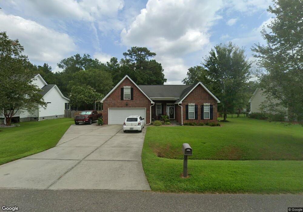
1302 British Dr Moncks Corner, SC 29461
Estimated Value: $437,208 - $505,000
4
Beds
3
Baths
2,320
Sq Ft
$207/Sq Ft
Est. Value
About This Home
This home is located at 1302 British Dr, Moncks Corner, SC 29461 and is currently estimated at $479,802, approximately $206 per square foot. 1302 British Dr is a home located in Berkeley County with nearby schools including Foxbank Elementary School, Berkeley Middle School, and Berkeley High School.
Ownership History
Date
Name
Owned For
Owner Type
Purchase Details
Closed on
Jul 1, 2008
Sold by
Pearlstine Properties Llc
Bought by
Dean Daniel J and Dean Amy
Current Estimated Value
Home Financials for this Owner
Home Financials are based on the most recent Mortgage that was taken out on this home.
Original Mortgage
$256,701
Outstanding Balance
$164,679
Interest Rate
5.96%
Mortgage Type
Purchase Money Mortgage
Estimated Equity
$315,123
Purchase Details
Closed on
Jun 6, 2005
Sold by
Lake Dennis Properties Group Lp
Bought by
Pearlstine Properties Llc
Create a Home Valuation Report for This Property
The Home Valuation Report is an in-depth analysis detailing your home's value as well as a comparison with similar homes in the area
Purchase History
| Date | Buyer | Sale Price | Title Company |
|---|---|---|---|
| Dean Daniel J | $274,900 | -- | |
| Pearlstine Properties Llc | $304,000 | -- |
Source: Public Records
Mortgage History
| Date | Status | Borrower | Loan Amount |
|---|---|---|---|
| Open | Dean Daniel J | $256,701 |
Source: Public Records
Tax History
| Year | Tax Paid | Tax Assessment Tax Assessment Total Assessment is a certain percentage of the fair market value that is determined by local assessors to be the total taxable value of land and additions on the property. | Land | Improvement |
|---|---|---|---|---|
| 2025 | $1,425 | $291,859 | $47,741 | $244,118 |
| 2024 | $1,347 | $11,675 | $1,910 | $9,765 |
| 2023 | $1,347 | $11,675 | $1,910 | $9,765 |
| 2022 | $1,348 | $10,151 | $1,619 | $8,532 |
| 2021 | $1,380 | $10,150 | $1,619 | $8,532 |
| 2020 | $1,397 | $10,151 | $1,619 | $8,532 |
| 2019 | $1,388 | $10,151 | $1,619 | $8,532 |
| 2018 | $1,271 | $8,744 | $1,600 | $7,144 |
| 2017 | $1,152 | $8,744 | $1,600 | $7,144 |
| 2016 | $1,179 | $8,740 | $1,600 | $7,140 |
| 2015 | $1,090 | $8,740 | $1,600 | $7,140 |
| 2014 | $1,074 | $8,740 | $1,600 | $7,140 |
| 2013 | -- | $8,740 | $1,600 | $7,140 |
Source: Public Records
Map
Nearby Homes
- 1629 Pimlico Blvd
- 1004 Magnolia Ln
- 1822 Mallard Cir
- 1305 Old Rice Mill Rd
- 1811 Teal Rd
- 2015 Albert Storm Ave
- 0 Point Comfort Rd Unit 24030382
- 0 Point Comfort Rd Unit 24030383
- 0 Point Comfort Rd Unit 24028043
- 214 Osprey Dr
- 266 Oglethorpe Cir
- 415 Black Horse Rd
- 415 Camellia Bloom Dr
- 204 Palmetto Village Cir
- 543 Man o War Ln
- 601 Winter Wren Way
- 724 Blue Mistflower Dr
- 532 Red Monarch Way
- 726 Blue Mistflower Dr
- 154 Nolin Rd
- 1601 Buckingham Dr
- 1300 British Dr
- 1304 British Dr
- 1602 Suffolk Dr
- 1603 Buckingham Dr
- 1303 British Dr
- 1305 British Dr
- 1301 British Dr
- 1600 Buckingham Dr
- 1400 British Dr
- 1604 Suffolk Dr
- 1204 British Dr
- 1605 Buckingham Dr
- 1603 Suffolk Dr
- 1602 Buckingham Dr
- 1401 British Dr
- 1401 British Dr
- 1205 British Dr
- 1202 British Dr
- 1606 Suffolk Dr
Your Personal Tour Guide
Ask me questions while you tour the home.