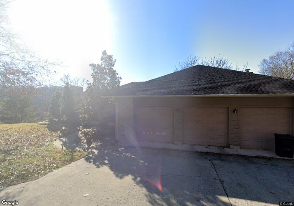
1302 Carl Dr Ironton, OH 45638
Estimated Value: $286,000 - $480,000
4
Beds
3
Baths
2,081
Sq Ft
$178/Sq Ft
Est. Value
About This Home
This home is located at 1302 Carl Dr, Ironton, OH 45638 and is currently estimated at $369,868, approximately $177 per square foot. 1302 Carl Dr is a home located in Lawrence County with nearby schools including Ironton Elementary School, Ironton Middle School, and Ironton High School.
Ownership History
Date
Name
Owned For
Owner Type
Purchase Details
Closed on
Feb 5, 2015
Sold by
Reedy Terrence V and Reedy Charla
Bought by
Sizemore Donald K and Salisbury Sizemore Sheila J
Current Estimated Value
Home Financials for this Owner
Home Financials are based on the most recent Mortgage that was taken out on this home.
Original Mortgage
$220,000
Outstanding Balance
$169,922
Interest Rate
3.99%
Mortgage Type
Adjustable Rate Mortgage/ARM
Estimated Equity
$199,946
Purchase Details
Closed on
Jan 7, 1997
Sold by
Reedy Creed M and Reedy Erma B
Bought by
Reedy Terrence and Reedy Char
Create a Home Valuation Report for This Property
The Home Valuation Report is an in-depth analysis detailing your home's value as well as a comparison with similar homes in the area
Home Values in the Area
Average Home Value in this Area
Purchase History
| Date | Buyer | Sale Price | Title Company |
|---|---|---|---|
| Sizemore Donald K | $275,000 | None Available | |
| Reedy Terrence | $7,800 | -- |
Source: Public Records
Mortgage History
| Date | Status | Borrower | Loan Amount |
|---|---|---|---|
| Open | Sizemore Donald K | $220,000 |
Source: Public Records
Tax History Compared to Growth
Tax History
| Year | Tax Paid | Tax Assessment Tax Assessment Total Assessment is a certain percentage of the fair market value that is determined by local assessors to be the total taxable value of land and additions on the property. | Land | Improvement |
|---|---|---|---|---|
| 2024 | -- | $104,570 | $9,980 | $94,590 |
| 2023 | $3,736 | $104,570 | $9,980 | $94,590 |
| 2022 | $3,735 | $104,570 | $9,980 | $94,590 |
| 2021 | $3,094 | $82,310 | $8,310 | $74,000 |
| 2020 | $3,109 | $82,310 | $8,310 | $74,000 |
| 2019 | $3,079 | $81,830 | $8,310 | $73,520 |
| 2018 | $3,114 | $81,830 | $8,310 | $73,520 |
| 2017 | $3,107 | $81,830 | $8,310 | $73,520 |
| 2016 | $2,921 | $81,830 | $8,310 | $73,520 |
| 2015 | $3,684 | $97,160 | $9,140 | $88,020 |
| 2014 | $3,559 | $97,160 | $9,140 | $88,020 |
| 2013 | $3,549 | $97,160 | $9,140 | $88,020 |
Source: Public Records
Map
Nearby Homes
- 1917 Woodland Dr
- 1222 Osage Ct
- 2001 Liberty Ave
- 0 S 10th St
- 1219 Penobscot Trail
- 914 Pine St
- 914 Pine St
- 1324 S 10th St
- 2008 S 9th St
- 2008 S 9th St Unit KO-2
- 707 Mastin Ave
- 1619 S 6th St
- 1902 S 7th St
- 1525 S 6th St
- 1819 S 6th St
- 2418 S 12th St
- 1703 S 5th St
- 2121 S 6th St
- 517 Spruce St
- 721 Chestnut St
- 1302 Carl Dr Unit KO-9
- 1388 Carl Dr
- 1390 Carl Dr
- 1846 Campbell Dr
- 1420 David Ave
- 1840 Campbell Dr
- 1501 David Ave
- 1822 Campell Dr
- 1822 Campbell Dr
- 1766 State Route 141
- 1820 Campbell Dr
- 1820 Campbell Dr Unit JO-14
- 1820 Campbell Dr Unit JO-21
- 1815 Carl Dr
- 1812 Carl Dr
- 1855 Campbell Dr
- 1818 Campbell Dr
- 1818 State Route 141
- 1814 Carl Dr
- 1814 Carl Dr Unit JO-12