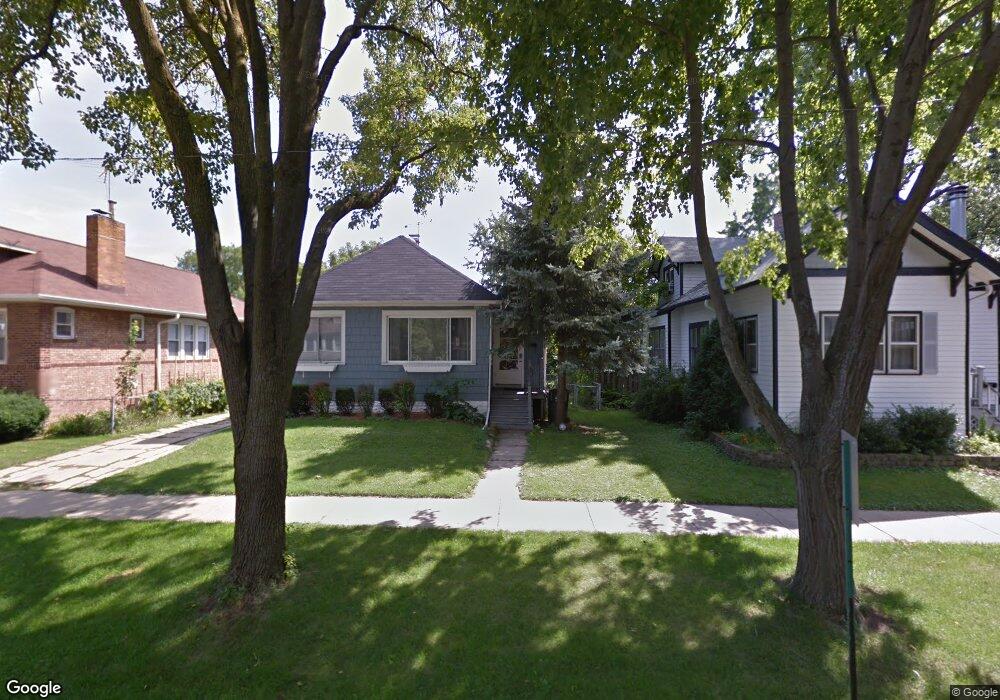
1302 E Algonquin Rd Des Plaines, IL 60016
Estimated Value: $193,000 - $265,000
2
Beds
1
Bath
674
Sq Ft
$345/Sq Ft
Est. Value
About This Home
This home is located at 1302 E Algonquin Rd, Des Plaines, IL 60016 and is currently estimated at $232,662, approximately $345 per square foot. 1302 E Algonquin Rd is a home located in Cook County with nearby schools including Central Elementary School, Chippewa Middle School, and Maine West High School.
Ownership History
Date
Name
Owned For
Owner Type
Purchase Details
Closed on
Dec 17, 2012
Sold by
Lankford Walter H and Lankford Suzanne L
Bought by
Benjamin David J and Flores Loondhy
Current Estimated Value
Home Financials for this Owner
Home Financials are based on the most recent Mortgage that was taken out on this home.
Original Mortgage
$85,914
Outstanding Balance
$58,544
Interest Rate
3.25%
Mortgage Type
FHA
Estimated Equity
$174,118
Create a Home Valuation Report for This Property
The Home Valuation Report is an in-depth analysis detailing your home's value as well as a comparison with similar homes in the area
Home Values in the Area
Average Home Value in this Area
Purchase History
| Date | Buyer | Sale Price | Title Company |
|---|---|---|---|
| Benjamin David J | $87,500 | Fidelity National Title |
Source: Public Records
Mortgage History
| Date | Status | Borrower | Loan Amount |
|---|---|---|---|
| Open | Benjamin David J | $85,914 |
Source: Public Records
Tax History
| Year | Tax Paid | Tax Assessment Tax Assessment Total Assessment is a certain percentage of the fair market value that is determined by local assessors to be the total taxable value of land and additions on the property. | Land | Improvement |
|---|---|---|---|---|
| 2025 | $3,608 | $23,000 | $5,670 | $17,330 |
| 2024 | $3,608 | $17,000 | $5,040 | $11,960 |
| 2023 | $3,494 | $17,000 | $5,040 | $11,960 |
| 2022 | $3,494 | $17,000 | $5,040 | $11,960 |
| 2021 | $3,032 | $13,195 | $4,095 | $9,100 |
| 2020 | $3,858 | $15,869 | $4,095 | $11,774 |
| 2019 | $3,822 | $17,633 | $4,095 | $13,538 |
| 2018 | $2,535 | $11,913 | $3,622 | $8,291 |
| 2017 | $2,508 | $11,913 | $3,622 | $8,291 |
| 2016 | $3,310 | $11,913 | $3,622 | $8,291 |
| 2015 | $3,551 | $11,747 | $3,150 | $8,597 |
| 2014 | $3,476 | $11,747 | $3,150 | $8,597 |
| 2013 | $3,390 | $11,747 | $3,150 | $8,597 |
Source: Public Records
Map
Nearby Homes
- 1380 Oakwood Ave Unit 306
- 1048 E Walnut Ave
- 900 Center St Unit 3A
- 905 Center St Unit B208
- 1524 Oakwood Ave
- 1277 E Thacker St Unit 303
- 1630 Henry Ave
- 787 Graceland Ave Unit 202B
- 1080 Bogart St
- 1638 Oakwood Ave
- 821 Lexington Cir E
- 1700 E Forest Ave
- 1649 Ashland Ave Unit 501
- 1600 E Thacker St Unit 513
- 1394 Carol Ln
- 770 Pearson St Unit 808
- 750 Pearson St Unit 904
- 1645 Illinois St
- 1107 E Prairie Ave
- 1458 Kingston Ct
- 1310 E Algonquin Rd
- 1290 E Algonquin Rd
- 1318 E Algonquin Rd
- 1303 Campbell Ave
- 1311 Campbell Ave
- 1326 E Algonquin Rd
- 1285 Campbell Ave
- 1285 Campbell Ave
- 1319 Campbell Ave
- 1299 E Algonquin Rd
- 1291 E Algonquin Rd
- 1334 E Algonquin Rd
- 1309 E Algonquin Rd
- 1309 E Algonquin Rd
- 1275 Campbell Ave
- 1327 Campbell Ave
- 1319 E Algonquin Rd
- 1283 E Algonquin Rd
- 1283 E Algonquin Rd
- 1335 Campbell Ave
Your Personal Tour Guide
Ask me questions while you tour the home.