1302 Erie Ct Sidney, OH 45365
Estimated Value: $598,000 - $615,000
4
Beds
4
Baths
3,712
Sq Ft
$163/Sq Ft
Est. Value
About This Home
This home is located at 1302 Erie Ct, Sidney, OH 45365 and is currently estimated at $605,203, approximately $163 per square foot. 1302 Erie Ct is a home with nearby schools including Sidney High School, Holy Angels Catholic School, and Lehman Catholic High School.
Ownership History
Date
Name
Owned For
Owner Type
Purchase Details
Closed on
Nov 2, 2016
Sold by
Harlow Builders Inc
Bought by
Carrie O Leary William and Leary Carrie O
Current Estimated Value
Home Financials for this Owner
Home Financials are based on the most recent Mortgage that was taken out on this home.
Original Mortgage
$200,000
Outstanding Balance
$160,868
Interest Rate
3.48%
Mortgage Type
New Conventional
Estimated Equity
$444,335
Purchase Details
Closed on
May 25, 2016
Sold by
Thomas David Phillip and Thomas Saundra Sue
Bought by
Harlow Builders Inc
Home Financials for this Owner
Home Financials are based on the most recent Mortgage that was taken out on this home.
Original Mortgage
$308,000
Interest Rate
3.58%
Mortgage Type
Construction
Create a Home Valuation Report for This Property
The Home Valuation Report is an in-depth analysis detailing your home's value as well as a comparison with similar homes in the area
Home Values in the Area
Average Home Value in this Area
Purchase History
| Date | Buyer | Sale Price | Title Company |
|---|---|---|---|
| Carrie O Leary William | $385,000 | First Title Agency Inc | |
| Harlow Builders Inc | $42,500 | Attorney |
Source: Public Records
Mortgage History
| Date | Status | Borrower | Loan Amount |
|---|---|---|---|
| Open | Carrie O Leary William | $200,000 | |
| Previous Owner | Harlow Builders Inc | $308,000 |
Source: Public Records
Tax History Compared to Growth
Tax History
| Year | Tax Paid | Tax Assessment Tax Assessment Total Assessment is a certain percentage of the fair market value that is determined by local assessors to be the total taxable value of land and additions on the property. | Land | Improvement |
|---|---|---|---|---|
| 2024 | $5,496 | $158,580 | $28,830 | $129,750 |
| 2023 | $5,496 | $153,110 | $28,830 | $124,280 |
| 2022 | $4,949 | $125,520 | $24,640 | $100,880 |
| 2021 | $4,999 | $125,520 | $24,640 | $100,880 |
| 2020 | $4,998 | $125,520 | $24,640 | $100,880 |
| 2019 | $4,127 | $104,910 | $20,540 | $84,370 |
| 2018 | $4,034 | $103,230 | $20,540 | $82,690 |
| 2017 | $4,056 | $103,230 | $20,540 | $82,690 |
| 2016 | $699 | $17,260 | $17,260 | $0 |
| 2015 | $701 | $17,260 | $17,260 | $0 |
| 2014 | $701 | $17,260 | $17,260 | $0 |
| 2013 | $758 | $17,260 | $17,260 | $0 |
Source: Public Records
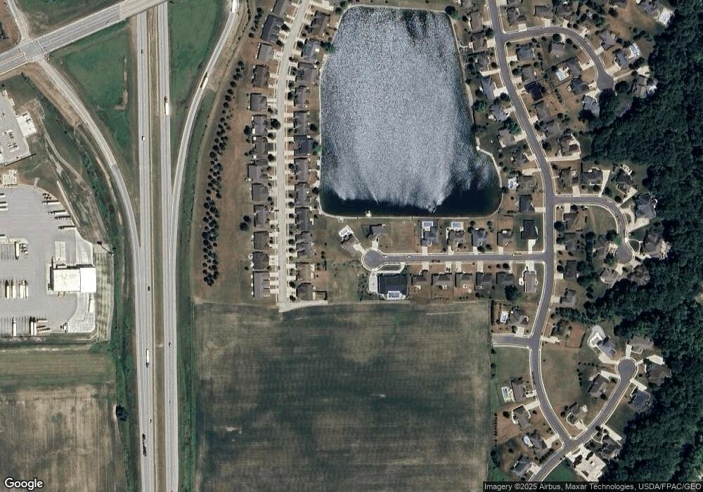
Map
Nearby Homes
- 1680 Wildwood Ct
- 1559 Timberidge Dr
- 2417 Cole Ct
- 2423 Cole Ct
- 1786 Creekside Ct
- 1780 Creekside Ct
- 1756 Creekside Ct
- 1768 Creekside Ct
- 1774 Creekside Ct
- 1762 Creekside Ct
- 1144 Hawthorne Dr
- 1014 Spruce Ave
- 507 Charles Ave
- 812 Chestnut Ave
- 747 Chestnut Ave
- 603 S Highland Ave
- 649 Fair Rd
- 608 Foraker Ave
- 1238 Turner Dr
- 0 Sharp Unit 1033548
- 1742 Cumberland Ave
- 1754 Cumberland Ave
- 1730 Cumberland Ave
- 1766 Cumberland Ave
- 1778 Cumberland Ave
- 1718 Cumberland Ave
- 1790 Cumberland Ave
- 1706 Cumberland Ave
- 1802 Cumberland Ave
- 1275 Erie Ct
- 1694 Cumberland Ave
- 1814 Cumberland Ave
- 1682 Cumberland Ave
- 1670 Cumberland Ave
- 1260 Erie Ct
- 1263 Erie Ct
- 1743 Cumberland Ave
- 1755 Cumberland Ave
- 1767 Cumberland Ave
- 1731 Cumberland Ave