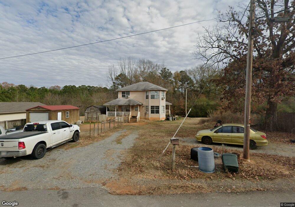
1302 N Main St Sheridan, AR 72150
Estimated Value: $142,123 - $207,000
--
Bed
3
Baths
1,614
Sq Ft
$115/Sq Ft
Est. Value
About This Home
This home is located at 1302 N Main St, Sheridan, AR 72150 and is currently estimated at $185,781, approximately $115 per square foot. 1302 N Main St is a home located in Grant County with nearby schools including Sheridan High School.
Ownership History
Date
Name
Owned For
Owner Type
Purchase Details
Closed on
Jan 14, 2005
Sold by
Lynch Robert and Lynch Dorothy
Bought by
Kenny John
Current Estimated Value
Home Financials for this Owner
Home Financials are based on the most recent Mortgage that was taken out on this home.
Original Mortgage
$112,500
Outstanding Balance
$70,575
Interest Rate
9.65%
Mortgage Type
Adjustable Rate Mortgage/ARM
Estimated Equity
$115,206
Purchase Details
Closed on
Jan 27, 2003
Bought by
Lynch
Purchase Details
Closed on
Oct 16, 2002
Bought by
Contract Contract W and Contract Lynch
Purchase Details
Closed on
Feb 15, 2002
Bought by
Margie
Purchase Details
Closed on
Jan 1, 1991
Bought by
Pope
Purchase Details
Closed on
Oct 1, 1988
Bought by
Pope
Purchase Details
Closed on
Dec 1, 1985
Bought by
Rupe
Purchase Details
Closed on
Mar 1, 1985
Bought by
Perroni
Create a Home Valuation Report for This Property
The Home Valuation Report is an in-depth analysis detailing your home's value as well as a comparison with similar homes in the area
Home Values in the Area
Average Home Value in this Area
Purchase History
| Date | Buyer | Sale Price | Title Company |
|---|---|---|---|
| Kenny John | $125,000 | Professional Land Title Comp | |
| Lynch | -- | -- | |
| Contract Contract W | -- | -- | |
| Margie | -- | -- | |
| Pope | -- | -- | |
| Pope | $97,400 | -- | |
| Rupe | -- | -- | |
| Smith | -- | -- | |
| Perroni | -- | -- |
Source: Public Records
Mortgage History
| Date | Status | Borrower | Loan Amount |
|---|---|---|---|
| Open | Perroni | $112,500 |
Source: Public Records
Tax History Compared to Growth
Tax History
| Year | Tax Paid | Tax Assessment Tax Assessment Total Assessment is a certain percentage of the fair market value that is determined by local assessors to be the total taxable value of land and additions on the property. | Land | Improvement |
|---|---|---|---|---|
| 2024 | $976 | $21,680 | $0 | $21,680 |
| 2023 | $551 | $21,680 | $0 | $21,680 |
| 2022 | $601 | $21,680 | $0 | $21,680 |
| 2021 | $601 | $21,680 | $0 | $21,680 |
| 2020 | $597 | $21,600 | $3,000 | $18,600 |
| 2019 | $577 | $21,600 | $3,000 | $18,600 |
| 2018 | $563 | $21,600 | $3,000 | $18,600 |
| 2017 | $523 | $21,600 | $3,000 | $18,600 |
| 2015 | -- | $17,010 | $3,000 | $14,010 |
| 2014 | -- | $17,010 | $3,000 | $14,010 |
| 2012 | -- | $15,750 | $3,000 | $12,750 |
Source: Public Records
Map
Nearby Homes
- 1210 N Main St
- 1213 N Main St
- 1310 N Main St
- 1309 N Main St
- 1209 N Main St
- 1206 N Main St
- 1311 N Main St
- 108 W Johnson St
- 100 W Sunset Dr
- 102 E Sunset Dr
- 102 E Sunset Dr
- 111 W Johnson St
- 106 E Sunset Dr
- 106 W Sunset Dr
- 114 W Johnson St
- W Johnson St
- Lot 29 Casey Ln Unit Pat Reed Subdivision
- 101 W Sunset Dr
- 116 E Sunset Dr
- 101 Casey Ln