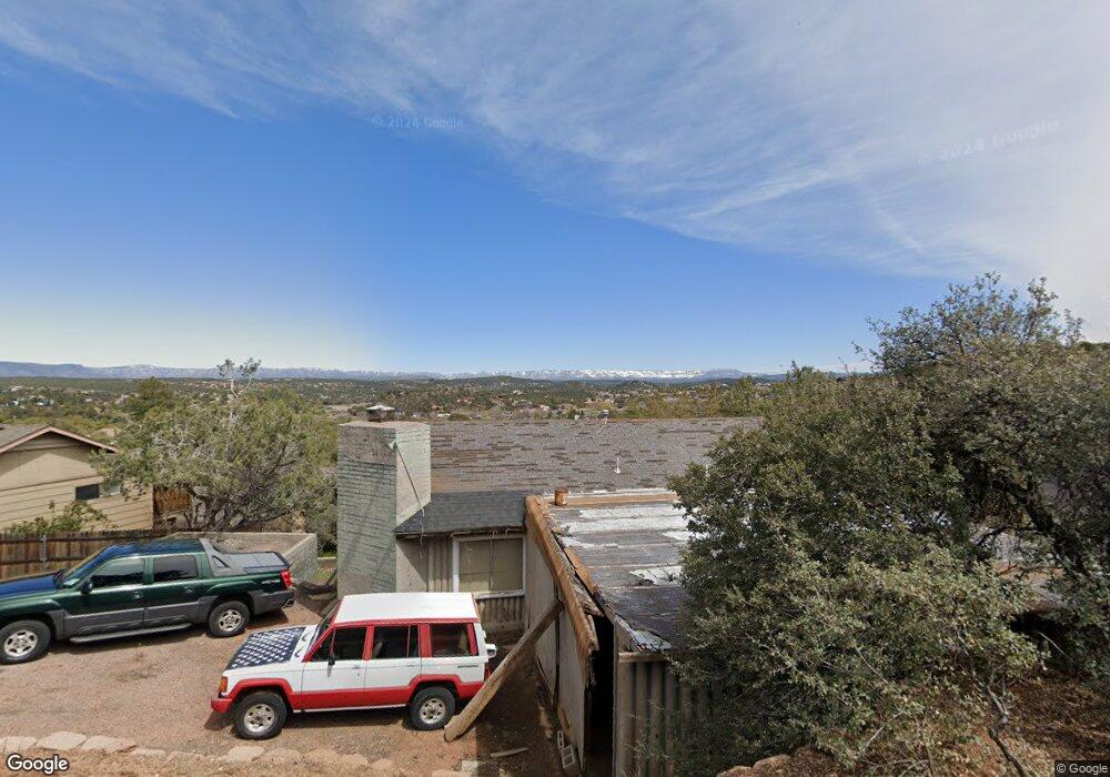
1302 W Stirrup Way Payson, AZ 85541
Estimated Value: $310,779 - $535,000
--
Bed
1
Bath
1,144
Sq Ft
$365/Sq Ft
Est. Value
About This Home
This home is located at 1302 W Stirrup Way, Payson, AZ 85541 and is currently estimated at $417,695, approximately $365 per square foot. 1302 W Stirrup Way is a home located in Gila County with nearby schools including Julia Randall Elementary School, Payson Elementary School, and Rim Country Middle School.
Ownership History
Date
Name
Owned For
Owner Type
Purchase Details
Closed on
Jun 4, 2024
Sold by
Matteson Family Trust and Matteson Ronald L
Bought by
Bein Family Trust and Bein-Betiewicz
Current Estimated Value
Purchase Details
Closed on
Nov 10, 2022
Sold by
Matteson Ronald and Matteson Sandra
Bought by
Matteson Family Trust
Purchase Details
Closed on
Feb 10, 2021
Sold by
Parrish William L
Bought by
Matteson Ronald L and Matteson Sandra E
Create a Home Valuation Report for This Property
The Home Valuation Report is an in-depth analysis detailing your home's value as well as a comparison with similar homes in the area
Home Values in the Area
Average Home Value in this Area
Purchase History
| Date | Buyer | Sale Price | Title Company |
|---|---|---|---|
| Bein Family Trust | -- | None Listed On Document | |
| Matteson Family Trust | -- | -- | |
| Matteson Ronald L | $145,500 | Pioneer Title Agency Inc |
Source: Public Records
Tax History Compared to Growth
Tax History
| Year | Tax Paid | Tax Assessment Tax Assessment Total Assessment is a certain percentage of the fair market value that is determined by local assessors to be the total taxable value of land and additions on the property. | Land | Improvement |
|---|---|---|---|---|
| 2025 | $1,919 | -- | -- | -- |
| 2024 | $1,919 | $33,253 | $10,785 | $22,468 |
| 2023 | $1,919 | $30,113 | $10,563 | $19,550 |
| 2022 | $1,860 | $16,012 | $4,328 | $11,684 |
| 2021 | $1,746 | $16,013 | $4,329 | $11,684 |
| 2020 | $1,445 | $0 | $0 | $0 |
| 2019 | $1,470 | $0 | $0 | $0 |
| 2018 | $1,444 | $0 | $0 | $0 |
| 2017 | $1,344 | $0 | $0 | $0 |
| 2016 | $1,304 | $0 | $0 | $0 |
| 2015 | $1,205 | $0 | $0 | $0 |
Source: Public Records
Map
Nearby Homes
- 1208 W Random Way
- 1106 S Gold Nugget Ln
- 1106 S Gold Nugget Ln Unit 3
- 1100 S Kinzer Ct
- 1105 S Kinzer Ct
- 1111 S Kinzer Ct
- 907 W Skyline Cir
- 912 W Madera Ln
- 902 W Lakeview Cir
- 938 W Madera Ln
- 1606 W Mesa Dr
- 1208 W Rim Dr
- 1403 W Rim Dr Unit 32
- 1403 W Rim Dr
- 1900 W Fairway Ln
- 404 S Canpar Way Unit 76
- 404 S Canpar Way
- 300 S Brassie Dr Unit 28
- 300 S Brassie Dr
- 1710 W Bonita St
- 1304 W Stirrup Way
- 1300 W Stirrup Way
- 1306 W Stirrup Way
- 1210 W Stirrup Way
- 1207 W Remuda Way
- 1303 W Stirrup Way
- 1301 W Stirrup Way
- 1305 W Stirrup Way
- 1205 W Remuda Way
- 1209 W Remuda Way
- 1308 W Stirrup Way
- 1208 S Western Dr
- 1210 S Western Dr
- 1307 W Stirrup Way
- 1309 W Stirrup Way
- 1203 W Remuda Way
- 1301 W Remuda Way
- 1310 W Stirrup Way
- 1201 S Rodeo Dr
- 1202 S Western Dr