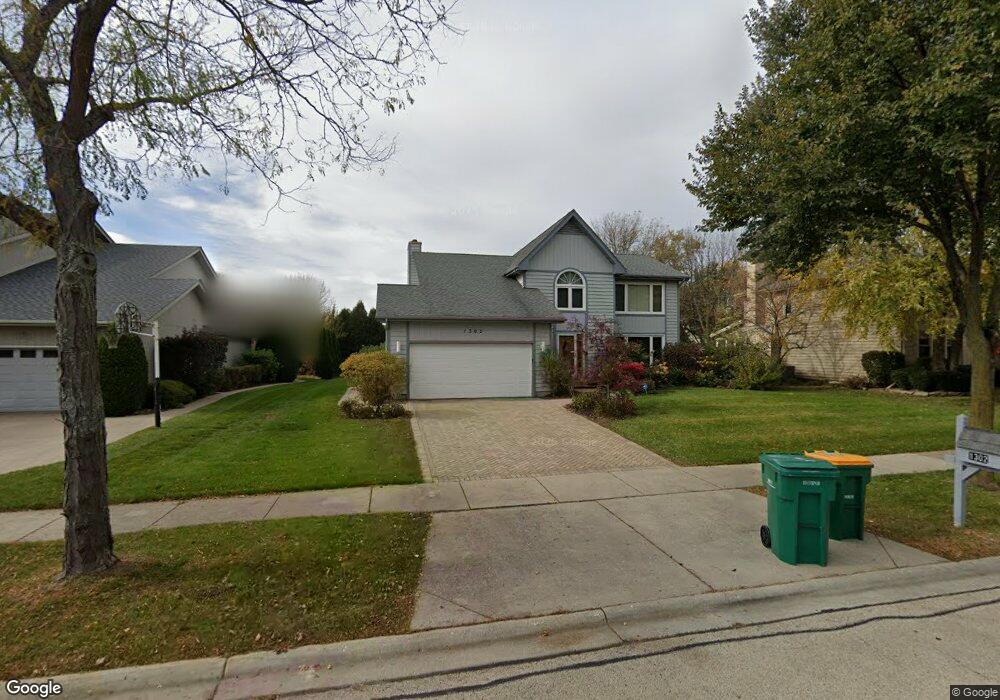
1302 Whitney Ln Buffalo Grove, IL 60089
Estimated Value: $717,746 - $877,000
--
Bed
3
Baths
2,758
Sq Ft
$282/Sq Ft
Est. Value
About This Home
This home is located at 1302 Whitney Ln, Buffalo Grove, IL 60089 and is currently estimated at $777,437, approximately $281 per square foot. 1302 Whitney Ln is a home located in Lake County with nearby schools including Meridian Middle School, Tripp Elementary School, and Aptakisic Junior High School.
Ownership History
Date
Name
Owned For
Owner Type
Purchase Details
Closed on
Jun 6, 2003
Sold by
Horng Sue Mei
Bought by
Soren Alex and Lezhen Irina
Current Estimated Value
Home Financials for this Owner
Home Financials are based on the most recent Mortgage that was taken out on this home.
Original Mortgage
$290,000
Interest Rate
5.12%
Mortgage Type
Purchase Money Mortgage
Create a Home Valuation Report for This Property
The Home Valuation Report is an in-depth analysis detailing your home's value as well as a comparison with similar homes in the area
Home Values in the Area
Average Home Value in this Area
Purchase History
| Date | Buyer | Sale Price | Title Company |
|---|---|---|---|
| Soren Alex | $465,000 | -- |
Source: Public Records
Mortgage History
| Date | Status | Borrower | Loan Amount |
|---|---|---|---|
| Previous Owner | Soren Alex | $290,000 |
Source: Public Records
Tax History Compared to Growth
Tax History
| Year | Tax Paid | Tax Assessment Tax Assessment Total Assessment is a certain percentage of the fair market value that is determined by local assessors to be the total taxable value of land and additions on the property. | Land | Improvement |
|---|---|---|---|---|
| 2024 | $18,283 | $196,611 | $48,787 | $147,824 |
| 2023 | $15,978 | $185,517 | $46,034 | $139,483 |
| 2022 | $15,978 | $169,538 | $42,069 | $127,469 |
| 2021 | $15,412 | $167,710 | $41,615 | $126,095 |
| 2020 | $15,111 | $168,282 | $41,757 | $126,525 |
| 2019 | $14,711 | $167,662 | $41,603 | $126,059 |
| 2018 | $15,758 | $178,831 | $45,226 | $133,605 |
| 2017 | $15,555 | $174,656 | $44,170 | $130,486 |
| 2016 | $15,400 | $171,327 | $42,296 | $129,031 |
| 2015 | $15,105 | $160,224 | $39,555 | $120,669 |
| 2014 | $13,179 | $138,557 | $42,482 | $96,075 |
| 2012 | $12,756 | $139,322 | $42,567 | $96,755 |
Source: Public Records
Map
Nearby Homes
- 1272 Sandhurst Dr
- 1113 Lockwood Dr
- 1118 Larraway Dr
- 15 Thompson Ct
- 938 Hidden Lake Dr
- 1012 Hobson Dr
- 538 Lasalle Ct
- 148 White Branch Ct
- 327 Lasalle Ln
- 51 W Fabish Dr
- 1265 Devonshire Rd
- 931 Shady Grove Ln
- 60 E Fabish Dr
- 720 Dunhill Dr
- 871 Shady Grove Ln
- 1141 Devonshire Rd
- 711 Woodhollow Ln
- 1157 Russellwood Ct
- 896 Chaucer Way Unit 2
- 12 Aberdeen Ct
- 1304 Whitney Ln
- 1300 Whitney Ln
- 1303 Westchester Rd
- 1305 Westchester Rd
- 1301 Westchester Rd
- 1306 Whitney Ln
- 1303 Whitney Ln
- 1301 Whitney Ln
- 1305 Whitney Ln
- 1307 Westchester Rd
- 1307 Whitney Ln
- 1308 Whitney Ln
- 1309 Westchester Rd
- 1205 Westchester Ct
- 1302 Hidden Lake Dr
- 1302 Westchester Rd
- 1300 Westchester Rd
- 1309 Whitney Ln
- 1304 Hidden Lake Dr
- 1300 Hidden Lake Dr