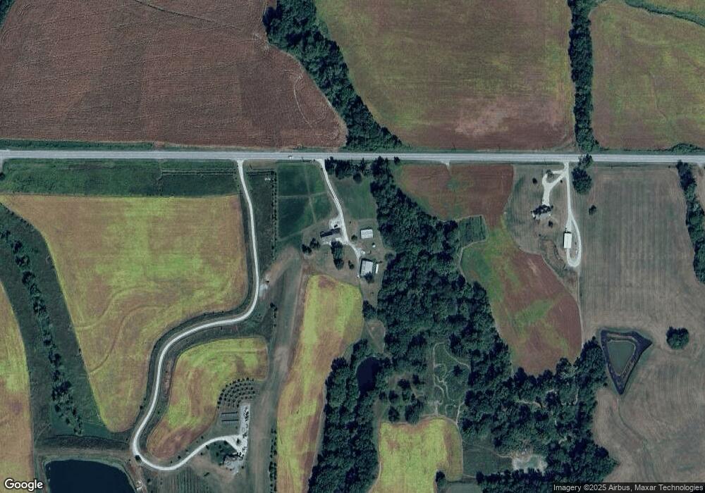
13020 NE State Route 6 Easton, MO 64443
Estimated Value: $255,000 - $429,777
--
Bed
--
Bath
2,552
Sq Ft
$134/Sq Ft
Est. Value
About This Home
This home is located at 13020 NE State Route 6, Easton, MO 64443 and is currently estimated at $342,389, approximately $134 per square foot. 13020 NE State Route 6 is a home located in Buchanan County with nearby schools including East Buchanan Elementary School, East Buchanan Middle School, and East Buchanan High School.
Ownership History
Date
Name
Owned For
Owner Type
Purchase Details
Closed on
Oct 31, 2013
Sold by
Grooms Michelle
Bought by
Wright Michael D and Wright Allene P
Current Estimated Value
Purchase Details
Closed on
Jan 3, 2012
Sold by
Grooms Michelle and Grooms Max Lee
Bought by
Grooms Michelle
Create a Home Valuation Report for This Property
The Home Valuation Report is an in-depth analysis detailing your home's value as well as a comparison with similar homes in the area
Home Values in the Area
Average Home Value in this Area
Purchase History
| Date | Buyer | Sale Price | Title Company |
|---|---|---|---|
| Wright Michael D | -- | First American Title | |
| Grooms Michelle | -- | First American Title |
Source: Public Records
Mortgage History
| Date | Status | Borrower | Loan Amount |
|---|---|---|---|
| Previous Owner | Grooms Max Lee | $100,000 |
Source: Public Records
Tax History Compared to Growth
Tax History
| Year | Tax Paid | Tax Assessment Tax Assessment Total Assessment is a certain percentage of the fair market value that is determined by local assessors to be the total taxable value of land and additions on the property. | Land | Improvement |
|---|---|---|---|---|
| 2024 | $2,184 | $31,370 | $4,870 | $26,500 |
| 2023 | $2,184 | $31,370 | $4,870 | $26,500 |
| 2022 | $1,971 | $31,370 | $4,870 | $26,500 |
| 2021 | $1,971 | $31,370 | $4,870 | $26,500 |
| 2020 | $1,994 | $31,370 | $4,870 | $26,500 |
| 2019 | $1,987 | $31,370 | $4,870 | $26,500 |
| 2018 | $1,954 | $30,910 | $3,940 | $26,970 |
| 2017 | $1,965 | $30,910 | $0 | $0 |
| 2015 | $31 | $30,910 | $0 | $0 |
| 2014 | $1,962 | $30,860 | $0 | $0 |
Source: Public Records
Map
Nearby Homes
- 0 Spring Holler SE
- 1733 SE 123rd Rd
- 0 SE 36 Hwy
- 8608 N Rd
- 6944 SW Thornton Rd
- 111 N Woodward St
- 7538 NW 356th St
- 0 SW Taylor Rd
- 2 SE Eagle Ridge Dr
- 710 Groom St
- 1901 River Ridge Rd
- 2685 N East River Ridge Rd
- 0 Main St Unit 2415604
- 113 W 6th St
- 103 10th St
- 5917 Corporate Dr
- 3730 State Route N
- 1305 S Riverside Rd
- 1406 Tamara Dr
- 5110 Mockingbird Ln
- 13200 NE State Route 6
- 12900 NE State Route 6
- 13460 NE State Route 6
- 13740 NE State Route 6
- 581 SE 123rd Rd
- 13021 SE Spring Holler Rd
- 560 SE State Route Ab
- 500 State Highway Ab
- 1801 State Route P
- 640 SE State Route Ab
- 13811 NE State Route 6
- 12655 SE Spring Holler Rd
- 501 SE State Route Ab
- 751 SE 123rd Rd
- 880 SE State Route Ab
- 12623 SE Spring Holler Rd
- 13277 SE Spring Holler Rd
- 855 SE State Route Ab
- 1011 State Route P
- 1101 SE 123rd Rd
