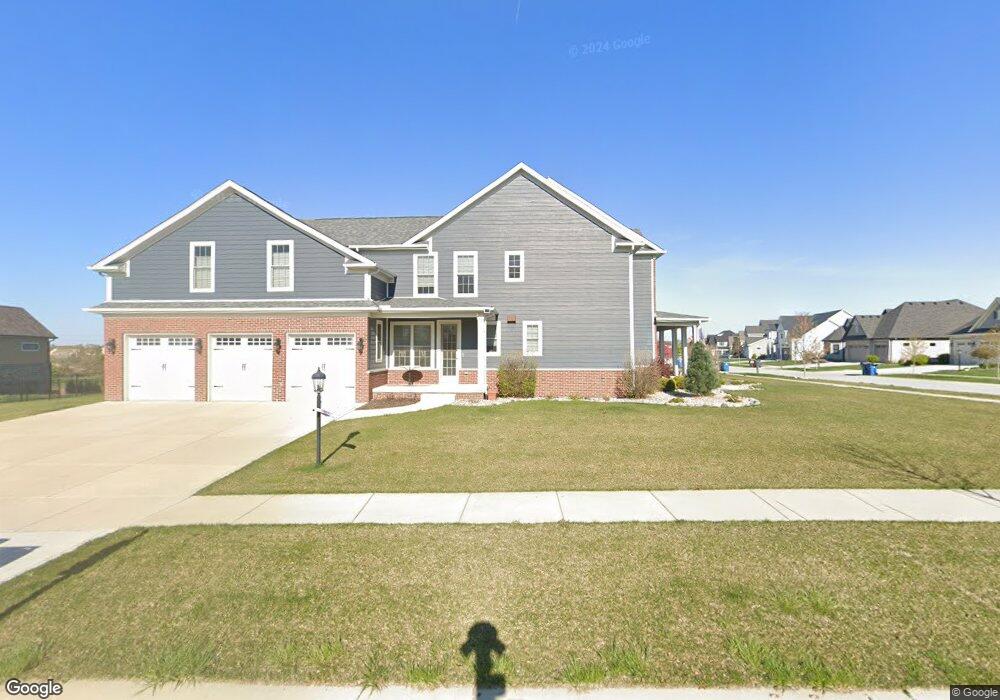
13021 Bluestem Dr Saint John, IN 46373
Saint John NeighborhoodEstimated Value: $780,567 - $884,000
5
Beds
4
Baths
3,612
Sq Ft
$227/Sq Ft
Est. Value
About This Home
This home is located at 13021 Bluestem Dr, Saint John, IN 46373 and is currently estimated at $819,642, approximately $226 per square foot. 13021 Bluestem Dr is a home with nearby schools including George Bibich Elementary School, Kahler Middle School, and Lake Central High School.
Ownership History
Date
Name
Owned For
Owner Type
Purchase Details
Closed on
Jul 19, 2024
Sold by
Spork Patrick R and Spork Colleen C
Bought by
Spork Joint Revocable Trust and Spork
Current Estimated Value
Purchase Details
Closed on
Nov 8, 2017
Sold by
Schilling Construction Inc
Bought by
Spork Patrick R and Spork Colleen C
Home Financials for this Owner
Home Financials are based on the most recent Mortgage that was taken out on this home.
Original Mortgage
$590,750
Interest Rate
3.85%
Mortgage Type
Construction
Purchase Details
Closed on
Sep 25, 2017
Sold by
Preserve S J Llc
Bought by
Schilling Construction Inc
Home Financials for this Owner
Home Financials are based on the most recent Mortgage that was taken out on this home.
Original Mortgage
$590,750
Interest Rate
3.85%
Mortgage Type
Construction
Create a Home Valuation Report for This Property
The Home Valuation Report is an in-depth analysis detailing your home's value as well as a comparison with similar homes in the area
Home Values in the Area
Average Home Value in this Area
Purchase History
| Date | Buyer | Sale Price | Title Company |
|---|---|---|---|
| Spork Joint Revocable Trust | -- | None Listed On Document | |
| Spork Patrick R | -- | Fidelity National Title Co | |
| Schilling Construction Inc | -- | Fidelity National Title Co |
Source: Public Records
Mortgage History
| Date | Status | Borrower | Loan Amount |
|---|---|---|---|
| Previous Owner | Spork Patrick R | $590,750 |
Source: Public Records
Tax History Compared to Growth
Tax History
| Year | Tax Paid | Tax Assessment Tax Assessment Total Assessment is a certain percentage of the fair market value that is determined by local assessors to be the total taxable value of land and additions on the property. | Land | Improvement |
|---|---|---|---|---|
| 2024 | $6,623 | $689,700 | $128,100 | $561,600 |
| 2023 | $7,362 | $668,200 | $128,100 | $540,100 |
| 2022 | $7,362 | $664,500 | $128,100 | $536,400 |
| 2021 | $6,726 | $624,600 | $128,100 | $496,500 |
| 2020 | $6,552 | $596,100 | $92,200 | $503,900 |
| 2019 | $6,972 | $591,800 | $92,200 | $499,600 |
| 2018 | $566 | $92,200 | $92,200 | $0 |
Source: Public Records
Map
Nearby Homes
- Somerset Custom Plan at The Preserve
- The Rainier Plan at The Preserve
- The Augusta Plan at The Preserve
- The Huxley Plan at The Preserve
- The Lincoln Plan at The Preserve
- The Princeton Plan at The Preserve
- The Powell II Plan at The Preserve
- The Elbert Plan at The Preserve
- The Bennett Plan at The Preserve
- The Harper Plan at The Preserve
- Devonhurst Custom Plan at The Preserve
- The Torbet Plan at The Preserve
- The Alverstone Plan at The Preserve
- Monroe Custom Plan at The Preserve
- 13028 Waterleaf Dr
- 13256 Waterleaf Dr
- 13333 Camas Dr
- 9770 Dunegrass Way
- 13020 Red Lily Way
- 9533 Tall Grass Trail
- 13037 Bluestem Dr
- 13028 Bluestem Dr
- 10012 Tall Grass Trail
- 13012 Bluestem Dr
- 13053 Bluestem Dr
- 13028 Bluestem Dr
- 13044 Bluestem Dr
- 9991 Tall Grass Trail
- 10001 Tall Grass Trail
- 13103 Bluestem Dr
- 13060 Bluestem Dr
- 13013 Waterleaf Dr
- 10052 Tall Grass Trail
- 13025 Waterleaf Dr
- 13001 Waterleaf Dr
- 9951 Tall Grass Trail
- 13037 Waterleaf Dr
- 13119 Bluestem Dr
- 13112 Bluestem Dr
- 13049 Waterleaf Dr