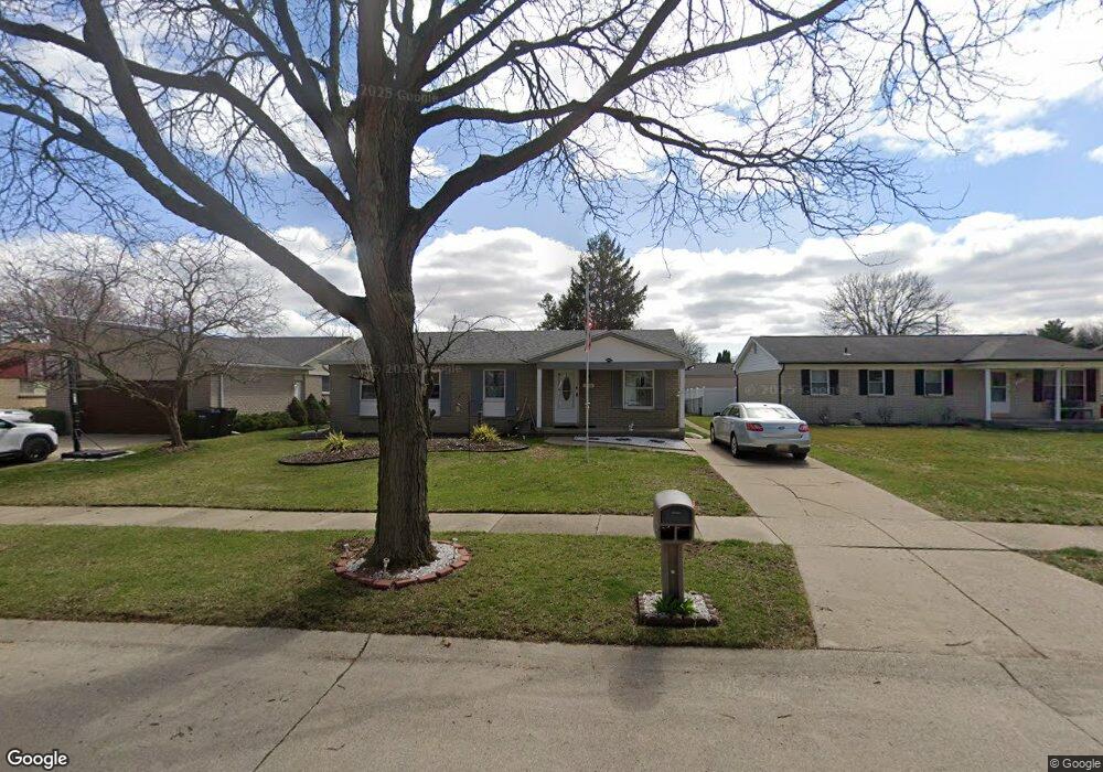
13026 Phillip Ct Unit Bldg-Unit Sterling Heights, MI 48313
Estimated Value: $318,867 - $336,000
3
Beds
2
Baths
1,526
Sq Ft
$216/Sq Ft
Est. Value
About This Home
This home is located at 13026 Phillip Ct Unit Bldg-Unit, Sterling Heights, MI 48313 and is currently estimated at $330,217, approximately $216 per square foot. 13026 Phillip Ct Unit Bldg-Unit is a home located in Macomb County with nearby schools including Jack Harvey Elementary School, Bemis Junior High School, and Henry Ford II High School.
Ownership History
Date
Name
Owned For
Owner Type
Purchase Details
Closed on
Apr 15, 2021
Sold by
Prieto Johnny
Bought by
Music Emil and Music Hajrudina
Current Estimated Value
Purchase Details
Closed on
Apr 5, 2018
Sold by
Mcgregor Rob R and Lavoie Mcgregor Alexandrite
Bought by
Prieto Johnny
Home Financials for this Owner
Home Financials are based on the most recent Mortgage that was taken out on this home.
Original Mortgage
$176,739
Interest Rate
4.43%
Mortgage Type
FHA
Create a Home Valuation Report for This Property
The Home Valuation Report is an in-depth analysis detailing your home's value as well as a comparison with similar homes in the area
Home Values in the Area
Average Home Value in this Area
Purchase History
| Date | Buyer | Sale Price | Title Company |
|---|---|---|---|
| Music Emil | $260,100 | Greater Macomb Title | |
| Prieto Johnny | $180,000 | None Available |
Source: Public Records
Mortgage History
| Date | Status | Borrower | Loan Amount |
|---|---|---|---|
| Previous Owner | Prieto Johnny | $176,739 |
Source: Public Records
Tax History Compared to Growth
Tax History
| Year | Tax Paid | Tax Assessment Tax Assessment Total Assessment is a certain percentage of the fair market value that is determined by local assessors to be the total taxable value of land and additions on the property. | Land | Improvement |
|---|---|---|---|---|
| 2025 | $4,766 | $144,600 | $0 | $0 |
| 2024 | $4,358 | $139,000 | $0 | $0 |
| 2023 | $4,115 | $126,900 | $0 | $0 |
| 2022 | $4,289 | $112,500 | $0 | $0 |
| 2021 | $3,886 | $104,300 | $0 | $0 |
| 2020 | $3,466 | $101,400 | $0 | $0 |
| 2019 | $3,551 | $97,500 | $0 | $0 |
| 2018 | $3,071 | $84,400 | $0 | $0 |
| 2017 | $3,535 | $79,800 | $13,500 | $66,300 |
| 2016 | $3,611 | $79,800 | $0 | $0 |
| 2015 | -- | $74,200 | $0 | $0 |
| 2014 | -- | $63,300 | $0 | $0 |
Source: Public Records
Map
Nearby Homes
- 13104 Carnaby Ct
- 12646 Bender Dr
- 41222 Paign Dr
- 13722 Diversion Dr
- 39400 Utica Rd
- 39839 Utica Rd
- 13749 Pernell Dr
- 13762 Halleck Dr
- 41309 Memphis Dr
- 13689 Ridgepoint Dr
- 13431 Melanie Dr
- 13374 Wessel Ct
- 39275 Della Rosa Dr
- 41744 Mae Wood Dr
- 39239 Chantilly Dr
- 12816 Kinlock Dr
- 14330 Bangor Dr
- 14160 Alpena Dr
- 40206 Ashland Dr
- 42153 Mac Rae Dr
- 13026 Phillip Ct
- 13014 Phillip Ct
- 13038 Phillip Ct
- 13050 Phillip Ct
- 13127 Carnaby Ct
- 13115 Carnaby Ct
- 13139 Carnaby Ct
- 13002 Phillip Ct
- 13151 Carnaby Ct
- 13103 Carnaby Ct
- 13025 Phillip Ct
- 13037 Phillip Ct
- 13013 Phillip Ct
- 40441 Shakespeare Dr
- 40429 Shakespeare Dr
- 13001 Phillip Ct
- 40515 Shakespeare Dr
- 40417 Shakespeare Dr
- 40527 Shakespeare Dr
- 40539 Shakespeare Dr