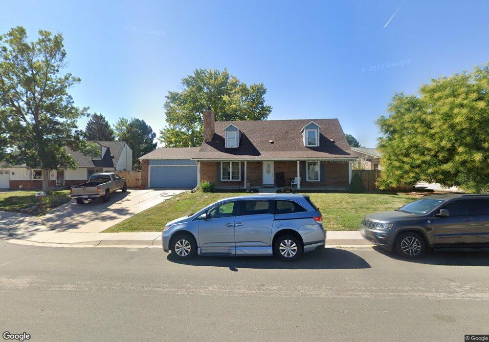
13027 Adams Ct Thornton, CO 80241
Estimated Value: $503,000 - $554,000
4
Beds
2
Baths
1,848
Sq Ft
$284/Sq Ft
Est. Value
About This Home
This home is located at 13027 Adams Ct, Thornton, CO 80241 and is currently estimated at $524,051, approximately $283 per square foot. 13027 Adams Ct is a home located in Adams County with nearby schools including Tarver Elementary School, Century Middle School, and Horizon High School.
Ownership History
Date
Name
Owned For
Owner Type
Purchase Details
Closed on
Sep 6, 2016
Sold by
Rosa Anthony J and Rosa Shelly G
Bought by
Catcovscaia Natalia and Kelley Ryan
Current Estimated Value
Purchase Details
Closed on
Aug 29, 2001
Sold by
Putnam Edwin L and Putnam Dawn H
Bought by
Knoblauch Tamara S and Johnson Toni R
Home Financials for this Owner
Home Financials are based on the most recent Mortgage that was taken out on this home.
Original Mortgage
$215,941
Interest Rate
7.07%
Mortgage Type
FHA
Create a Home Valuation Report for This Property
The Home Valuation Report is an in-depth analysis detailing your home's value as well as a comparison with similar homes in the area
Home Values in the Area
Average Home Value in this Area
Purchase History
| Date | Buyer | Sale Price | Title Company |
|---|---|---|---|
| Catcovscaia Natalia | $315,000 | Stewart Title | |
| Knoblauch Tamara S | $219,000 | Land Title Guarantee Company |
Source: Public Records
Mortgage History
| Date | Status | Borrower | Loan Amount |
|---|---|---|---|
| Previous Owner | Knoblauch Tamara S | $215,941 |
Source: Public Records
Tax History Compared to Growth
Tax History
| Year | Tax Paid | Tax Assessment Tax Assessment Total Assessment is a certain percentage of the fair market value that is determined by local assessors to be the total taxable value of land and additions on the property. | Land | Improvement |
|---|---|---|---|---|
| 2024 | $3,403 | $31,560 | $6,560 | $25,000 |
| 2023 | $3,369 | $36,600 | $6,770 | $29,830 |
| 2022 | $2,936 | $26,650 | $6,460 | $20,190 |
| 2021 | $3,034 | $26,650 | $6,460 | $20,190 |
| 2020 | $2,650 | $23,750 | $6,650 | $17,100 |
| 2019 | $2,655 | $23,750 | $6,650 | $17,100 |
| 2018 | $2,611 | $22,690 | $7,490 | $15,200 |
| 2017 | $2,374 | $22,690 | $7,490 | $15,200 |
| 2016 | $1,858 | $17,290 | $3,660 | $13,630 |
| 2015 | $1,855 | $17,290 | $3,660 | $13,630 |
| 2014 | $1,861 | $16,860 | $3,420 | $13,440 |
Source: Public Records
Map
Nearby Homes
- 3007 E 131st Way
- 12814 Jackson Cir
- 2691 E 132nd Ave
- 3850 E 128th Way
- 2788 E 132nd Cir
- 13080 Harrison Dr
- 2746 E 132nd Place
- 13068 Harrison Dr
- 3802 E 127th Ln
- 12672 Madison Ct
- 12711 Colorado Blvd Unit 914
- 12711 Colorado Blvd Unit 617F
- 12625 Madison Way
- 12627 Madison Way
- 13540 Detroit St
- 12604 Madison Way
- 13022 Bellaire St
- 12811 Josephine Ct
- 2552 E 126th Way
- 12865 Clermont St
- 13037 Adams Ct
- 13017 Adams Ct
- 13032 Steele Ct
- 13022 Steele Ct
- 13007 Adams Ct
- 13024 Adams Ct
- 13034 Adams Ct
- 13012 Steele Ct
- 13044 Adams Ct
- 13004 Adams Ct
- 13014 Adams Ct
- 13054 Steele Dr
- 13049 Steele Dr
- 13002 Steele Ct
- 13025 Steele Ct
- 13059 Steele Dr
- 13015 Steele Ct
- 13076 Steele Dr
- 13102 Saint Paul Dr
- 13005 Steele Ct