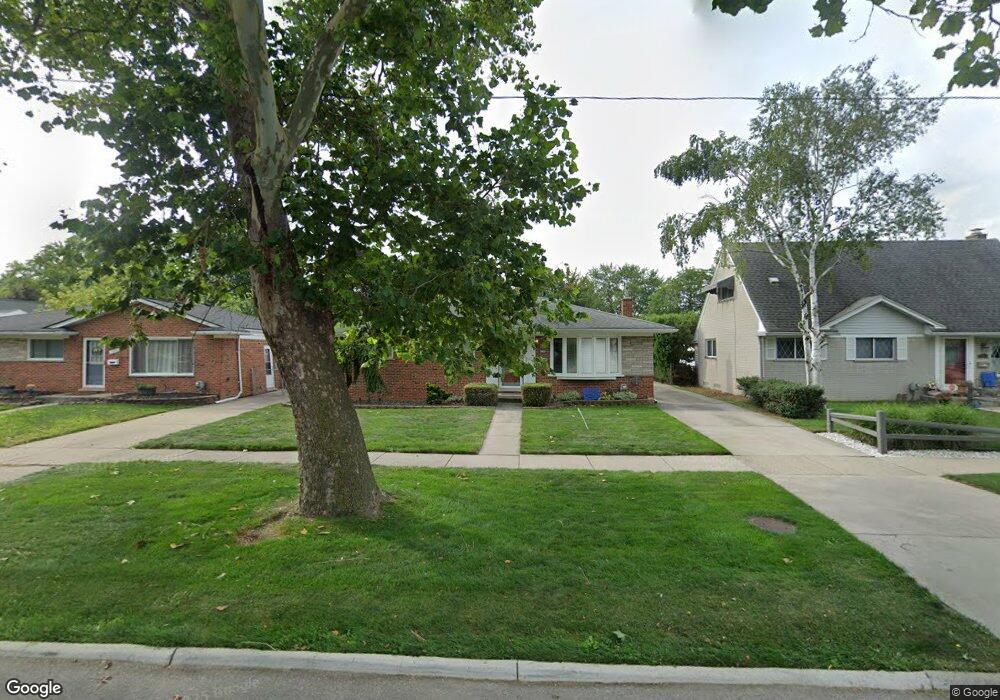
13028 Common Rd Warren, MI 48088
Northeast Warren NeighborhoodEstimated Value: $238,423 - $248,000
About This Home
This home is located at 13028 Common Rd, Warren, MI 48088 and is currently estimated at $242,856, approximately $221 per square foot. 13028 Common Rd is a home located in Macomb County with nearby schools including Warren Woods Tower High School, Frontier International Academy Elementary, and Warren Woods Christian School.
Ownership History
We collect this data history from publicly available records. To have your information removed, we recommend requesting removal directly through your county’s website.
Purchase Details
Home Financials for this Owner
Home Financials are based on the most recent Mortgage that was taken out on this home.Purchase Details
Home Financials for this Owner
Home Financials are based on the most recent Mortgage that was taken out on this home.Purchase Details
Home Values in the Area
Average Home Value in this Area
Purchase History
We collect this data history from publicly available records. To have your information removed, we recommend requesting removal directly through your county’s website.
| Date | Buyer | Sale Price | Title Company |
|---|---|---|---|
| $171,900 | Homeowners Title Agency Reco | ||
| $147,000 | -- | ||
| $44,500 | -- |
Mortgage History
We collect this data history from publicly available records. To have your information removed, we recommend requesting removal directly through your county’s website.
| Date | Status | Borrower | Loan Amount |
|---|---|---|---|
| Previous Owner | $85,000 | ||
| Previous Owner | $139,500 |
Tax History
We collect this data history from publicly available records. To have your information removed, we recommend requesting removal directly through your county’s website.
| Year | Tax Paid | Tax Assessment Tax Assessment Total Assessment is a certain percentage of the fair market value that is determined by local assessors to be the total taxable value of land and additions on the property. | Land | Improvement |
|---|---|---|---|---|
| 2025 | $2,891 | $106,310 | $0 | $0 |
| 2024 | $28 | $96,460 | $0 | $0 |
| 2023 | $2,665 | $93,090 | $0 | $0 |
| 2022 | $2,613 | $81,290 | $0 | $0 |
| 2021 | $2,564 | $74,330 | $0 | $0 |
| 2020 | $2,457 | $69,900 | $0 | $0 |
| 2019 | $2,348 | $66,840 | $0 | $0 |
| 2018 | $2,371 | $55,730 | $0 | $0 |
| 2017 | $2,243 | $50,060 | $9,660 | $40,400 |
| 2016 | $2,225 | $50,060 | $0 | $0 |
| 2015 | -- | $44,900 | $0 | $0 |
| 2012 | -- | $42,950 | $0 | $0 |
Map
- 13216 Cromie Dr
- 13051 Iowa Dr
- 30612 Dover Ave
- 29340 Fairfield Ave
- 30507 Moulin Ave
- 29619 Pinto Dr
- 30144 Roan Dr
- 30804 Dover Ave
- 30806 Ridgefield Ave
- 29639 Malvina Dr
- 30831 Ridgefield Ave
- 29120 Dover Ave
- 29108 Dover Ave
- 12014 Common Rd
- 29337 Roan Dr
- 29146 Palomino Dr
- 13646 Edwin Ct
- 12922 E 13 Mile Rd
- 30955 Iroquois Dr
- 30151 Barbary Ct
- 13016 Common Rd
- 13004 Common Rd
- 13027 Walter Ave
- 29843 Dover Ave
- 13039 Walter Ave
- 29831 Dover Ave
- 12984 Common Rd
- 29819 Dover Ave
- 13027 Common Rd
- 12955 Walter Ave
- 29807 Dover Ave
- 13015 Common Rd
- 12972 Common Rd
- 13001 Common Rd
- 13053 Common Rd
- 12943 Walter Ave
- 12979 Common Rd
- 13065 Common Rd
- 12931 Walter Ave
- 29842 Dover Ave
Ask me questions while you tour the home.