13029 Nittany Lion Cir Hagerstown, MD 21740
Collegiate Acres NeighborhoodEstimated Value: $465,000 - $522,000
4
Beds
3
Baths
2,971
Sq Ft
$164/Sq Ft
Est. Value
About This Home
This home is located at 13029 Nittany Lion Cir, Hagerstown, MD 21740 and is currently estimated at $487,286, approximately $164 per square foot. 13029 Nittany Lion Cir is a home located in Washington County with nearby schools including Maugansville Elementary School, Western Heights Middle School, and North Hagerstown High School.
Ownership History
Date
Name
Owned For
Owner Type
Purchase Details
Closed on
Aug 8, 2014
Sold by
Beazer Homes Corp
Bought by
Thompson Rolando P and Thompson Lacey A
Current Estimated Value
Home Financials for this Owner
Home Financials are based on the most recent Mortgage that was taken out on this home.
Original Mortgage
$268,841
Outstanding Balance
$205,220
Interest Rate
4.14%
Mortgage Type
New Conventional
Estimated Equity
$282,066
Create a Home Valuation Report for This Property
The Home Valuation Report is an in-depth analysis detailing your home's value as well as a comparison with similar homes in the area
Home Values in the Area
Average Home Value in this Area
Purchase History
| Date | Buyer | Sale Price | Title Company |
|---|---|---|---|
| Thompson Rolando P | $282,990 | Real Estate Title & Escrow L |
Source: Public Records
Mortgage History
| Date | Status | Borrower | Loan Amount |
|---|---|---|---|
| Open | Thompson Rolando P | $268,841 |
Source: Public Records
Tax History Compared to Growth
Tax History
| Year | Tax Paid | Tax Assessment Tax Assessment Total Assessment is a certain percentage of the fair market value that is determined by local assessors to be the total taxable value of land and additions on the property. | Land | Improvement |
|---|---|---|---|---|
| 2025 | $3,060 | $425,200 | $65,500 | $359,700 |
| 2024 | $3,060 | $383,833 | $0 | $0 |
| 2023 | $2,897 | $342,467 | $0 | $0 |
| 2022 | $2,743 | $301,100 | $65,500 | $235,600 |
| 2021 | $2,615 | $291,000 | $0 | $0 |
| 2020 | $2,615 | $280,900 | $0 | $0 |
| 2019 | $2,532 | $270,800 | $65,500 | $205,300 |
| 2018 | $2,505 | $267,900 | $0 | $0 |
| 2017 | $2,478 | $265,000 | $0 | $0 |
| 2016 | -- | $262,100 | $0 | $0 |
| 2015 | -- | $252,270 | $0 | $0 |
| 2014 | -- | $242,440 | $0 | $0 |
Source: Public Records
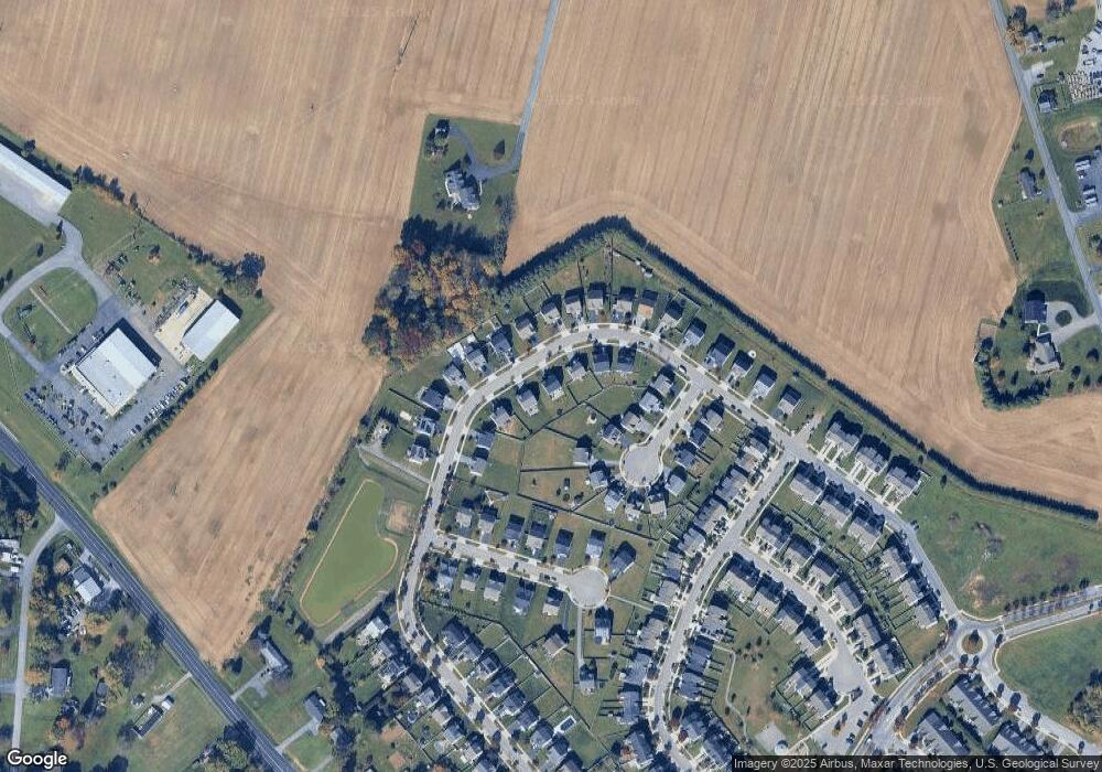
Map
Nearby Homes
- 13020 Yellow Jacket Rd
- 12922 Nittany Lion Cir
- 12922 Salem Ave
- 13409 Chads Terrace
- 390 Yorkshire Dr
- 1328 Outer Dr
- 1349 Cedarwood Dr
- 1337 Cedarbrook Dr
- 1424 Outer Dr
- 13501 Scarlet Sage Ct
- 343 A&B Woodpoint Ave
- 343 Woodpoint Ave Unit A & B
- 341 A&B Woodpoint Ave
- 341 Woodpoint Ave Unit A & B
- 1362 Connecticut Ave
- 17734 Perlite Way
- 1361 Connecticut Ave
- 1355 Connecticut Ave
- 13171 Salem Church Rd
- 1113 Green Ln
- 13025 Nittany Lion Cir
- 13033 Nittany Lion Cir
- 13039 Nittany Lion Cir
- 13019 Nittany Lion Cir
- 13026 Nittany Lion Cir
- 18110 Demon Deacon Ct
- 18114 Demon Deacon Ct
- 13047 Nittany Lion Cir
- 13030 Nittany Lion Cir
- 13034 Nittany Lion Cir
- 13011 Nittany Lion Cir
- 13022 Nittany Lion Cir
- 13038 Nittany Lion Cir
- 18118 Demon Deacon Ct
- 18122 Demon Deacon Ct
- 18106 Demon Deacon Ct
- 13018 Nittany Lion Cir
- 13007 Nittany Lion Cir
- 13042 Nittany Lion Cir
- 18126 Demon Deacon Ct