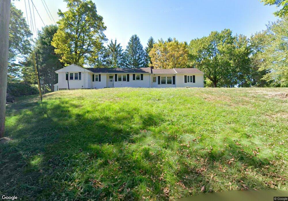
1303 Amostown Rd West Springfield, MA 01089
Estimated Value: $404,960 - $447,000
3
Beds
2
Baths
1,792
Sq Ft
$237/Sq Ft
Est. Value
About This Home
This home is located at 1303 Amostown Rd, West Springfield, MA 01089 and is currently estimated at $425,490, approximately $237 per square foot. 1303 Amostown Rd is a home located in Hampden County with nearby schools including Hampden Charter School of Science West and St Thomas The Apostle School.
Ownership History
Date
Name
Owned For
Owner Type
Purchase Details
Closed on
Aug 17, 1992
Sold by
Roberts Donald R and Roberts Lynn A
Bought by
Brancic Aleksandar and Brancic Linda
Current Estimated Value
Create a Home Valuation Report for This Property
The Home Valuation Report is an in-depth analysis detailing your home's value as well as a comparison with similar homes in the area
Home Values in the Area
Average Home Value in this Area
Purchase History
| Date | Buyer | Sale Price | Title Company |
|---|---|---|---|
| Brancic Aleksandar | $120,000 | -- |
Source: Public Records
Mortgage History
| Date | Status | Borrower | Loan Amount |
|---|---|---|---|
| Open | Brancic Aleksandar | $94,000 | |
| Closed | Brancic Aleksandar | $23,800 | |
| Closed | Brancic Aleksandar | $100,500 |
Source: Public Records
Tax History Compared to Growth
Tax History
| Year | Tax Paid | Tax Assessment Tax Assessment Total Assessment is a certain percentage of the fair market value that is determined by local assessors to be the total taxable value of land and additions on the property. | Land | Improvement |
|---|---|---|---|---|
| 2025 | $4,950 | $332,900 | $115,900 | $217,000 |
| 2024 | $4,880 | $329,500 | $115,900 | $213,600 |
| 2023 | $4,628 | $297,800 | $115,900 | $181,900 |
| 2022 | $4,184 | $265,500 | $105,300 | $160,200 |
| 2021 | $4,149 | $245,500 | $99,700 | $145,800 |
| 2020 | $4,163 | $245,000 | $99,700 | $145,300 |
| 2019 | $4,155 | $245,000 | $99,700 | $145,300 |
| 2018 | $4,177 | $245,000 | $99,700 | $145,300 |
| 2017 | $4,177 | $245,000 | $99,700 | $145,300 |
| 2016 | $4,166 | $245,200 | $95,900 | $149,300 |
| 2015 | $4,088 | $240,600 | $94,100 | $146,500 |
| 2014 | $993 | $240,600 | $94,100 | $146,500 |
Source: Public Records
Map
Nearby Homes
- 34 High Meadow Dr
- 86 Birnie Ave
- 42 Gregory Ln
- 43 Wishing Well Way
- 283 Forest Glen
- 31 Stone Path Ln
- 514 Dewey St
- 64 Apple Ridge Rd
- 17 Laurence Dr
- 36 Shady Brook
- 260 Wolcott Ave
- 81 Laurence Dr
- 11 Annie's Way
- 180 Wolcott Ave
- 61 Clarence St
- 16 North St
- 65 Verdugo St
- 59 Clayton Dr
- 32 Lotus Ave
- 139 Upper Beverly Hills
- 1323 Amostown Rd
- 102 Harbey Rd
- 1293 Amostown Rd
- 88 Harbey Rd
- 1288 Amostown Rd
- 110 Harbey Rd
- 1335 Amostown Rd
- 1332 Amostown Rd
- 1265 Amostown Rd
- 50 Harbey Rd
- 1346 Amostown Rd
- 1256 Amostown Rd
- 23 Harbey Rd
- 1358 Amostown Rd
- 33 Harbey Rd
- 1368 Amostown Rd
- 1371 Amostown Rd
- 49 Harbey Rd
- 1375 Amostown Rd
- 57 Harbey Rd