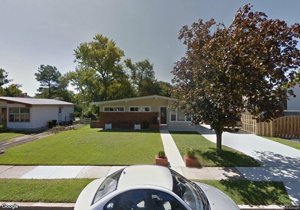
1303 Aster Dr Glen Burnie, MD 21061
Estimated Value: $281,243 - $384,000
--
Bed
1
Bath
965
Sq Ft
$355/Sq Ft
Est. Value
About This Home
This home is located at 1303 Aster Dr, Glen Burnie, MD 21061 and is currently estimated at $342,311, approximately $354 per square foot. 1303 Aster Dr is a home located in Anne Arundel County with nearby schools including George T. Cromwell Elementary School, Lindale Middle School, and North County High School.
Ownership History
Date
Name
Owned For
Owner Type
Purchase Details
Closed on
Dec 23, 2020
Sold by
Lowe Wayne D and Lowe Dora A
Bought by
Lowe Wayne D and Lowe Dora A
Current Estimated Value
Purchase Details
Closed on
May 30, 2003
Sold by
Gauss Clarence F
Bought by
Lowe Wayne D and Lowe Dora A
Purchase Details
Closed on
Dec 27, 1990
Sold by
Davis John E
Bought by
Gauss Clarence F
Create a Home Valuation Report for This Property
The Home Valuation Report is an in-depth analysis detailing your home's value as well as a comparison with similar homes in the area
Home Values in the Area
Average Home Value in this Area
Purchase History
| Date | Buyer | Sale Price | Title Company |
|---|---|---|---|
| Lowe Wayne D | -- | None Available | |
| Lowe Wayne D | $142,500 | -- | |
| Gauss Clarence F | $100,000 | -- |
Source: Public Records
Mortgage History
| Date | Status | Borrower | Loan Amount |
|---|---|---|---|
| Closed | Lowe Wayne D | -- |
Source: Public Records
Tax History Compared to Growth
Tax History
| Year | Tax Paid | Tax Assessment Tax Assessment Total Assessment is a certain percentage of the fair market value that is determined by local assessors to be the total taxable value of land and additions on the property. | Land | Improvement |
|---|---|---|---|---|
| 2025 | $2,535 | $284,800 | $155,100 | $129,700 |
| 2024 | $2,535 | $269,000 | $0 | $0 |
| 2023 | $2,450 | $253,200 | $0 | $0 |
| 2022 | $2,276 | $237,400 | $124,000 | $113,400 |
| 2021 | $2,151 | $227,400 | $0 | $0 |
| 2020 | $2,151 | $217,400 | $0 | $0 |
| 2019 | $2,111 | $207,400 | $92,300 | $115,100 |
| 2018 | $2,103 | $207,400 | $92,300 | $115,100 |
| 2017 | $2,006 | $207,400 | $0 | $0 |
| 2016 | -- | $211,200 | $0 | $0 |
| 2015 | -- | $208,300 | $0 | $0 |
| 2014 | -- | $205,400 | $0 | $0 |
Source: Public Records
Map
Nearby Homes
- 30 W Furnace Branch Rd
- 103 Janelin Dr
- 114 Wellham Ave NW
- 307 Shipley Ave
- 904 Pleasantville Dr
- 1509 Baby Baer Ct
- 1515 Baby Baer Ct
- 1603 Sunshine St
- 1611 Tieman Dr
- 898 Brighton Place
- 1614 Tieman Dr
- 933 Andrews Rd
- 0 Ritchie Hwy
- 2 Woods Ave
- 607 Wellham Ave
- 1009 Langley Rd
- 103 Vista Ave
- 613 Wellham Ave
- 6800 White Water Way Unit 203
- 6803 White Water Way Unit U101