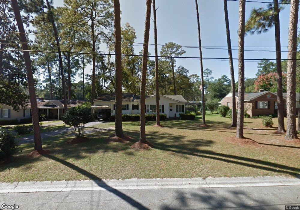
1303 Dean Dr Waycross, GA 31501
Estimated Value: $173,000 - $183,000
3
Beds
2
Baths
1,954
Sq Ft
$91/Sq Ft
Est. Value
About This Home
This home is located at 1303 Dean Dr, Waycross, GA 31501 and is currently estimated at $176,895, approximately $90 per square foot. 1303 Dean Dr is a home located in Ware County with nearby schools including Williams Heights Elementary School, Waycross Middle School, and Ware County High School.
Ownership History
Date
Name
Owned For
Owner Type
Purchase Details
Closed on
May 6, 2022
Sold by
Perritt Daryl Fuller
Bought by
Perritt Stacey Gray
Current Estimated Value
Purchase Details
Closed on
May 30, 1997
Sold by
Young Nancy G and Young Nell
Bought by
Perritt Fuller & Sta
Create a Home Valuation Report for This Property
The Home Valuation Report is an in-depth analysis detailing your home's value as well as a comparison with similar homes in the area
Home Values in the Area
Average Home Value in this Area
Purchase History
| Date | Buyer | Sale Price | Title Company |
|---|---|---|---|
| Perritt Stacey Gray | -- | -- | |
| Perritt Fuller & Sta | $50,000 | -- | |
| Perritt Fuller & Sta | -- | -- | |
| Young Nancy | -- | -- | |
| Grant Agatha | -- | -- |
Source: Public Records
Tax History Compared to Growth
Tax History
| Year | Tax Paid | Tax Assessment Tax Assessment Total Assessment is a certain percentage of the fair market value that is determined by local assessors to be the total taxable value of land and additions on the property. | Land | Improvement |
|---|---|---|---|---|
| 2024 | $1,438 | $52,849 | $2,720 | $50,129 |
| 2023 | $1,468 | $50,106 | $2,784 | $47,322 |
| 2022 | $1,615 | $50,106 | $2,784 | $47,322 |
| 2021 | $1,480 | $41,350 | $2,784 | $38,566 |
| 2020 | $1,437 | $39,441 | $2,784 | $36,657 |
| 2019 | $1,374 | $36,578 | $2,784 | $33,794 |
| 2018 | $1,352 | $35,386 | $2,784 | $32,602 |
| 2017 | $1,316 | $35,386 | $2,784 | $32,602 |
| 2016 | $1,316 | $35,386 | $2,784 | $32,602 |
| 2015 | $1,325 | $35,385 | $2,784 | $32,602 |
| 2014 | $1,324 | $35,386 | $2,784 | $32,602 |
| 2013 | -- | $32,116 | $2,784 | $29,332 |
Source: Public Records
Map
Nearby Homes
- 1205 Dean Dr
- 1100 Euclid Ave
- 1002 Baltimore Ave
- 1009 Euclid Ave
- 907 Euclid Ave
- 1100 Atlantic Ave
- 1001 Coral Rd
- 903 Atlantic Ave
- 1204 Richmond Ave
- 0 Saint Marys Dr Unit (TRACT 2 0.25 ACRES)
- 1500 Saint Marys Dr
- 00 Seminole Trail
- 707 Euclid Ave
- 807 City Blvd
- 713 Magnolia Dr
- 1400 E Cherokee Dr
- 1002 Cherokee Cir
- 1011 Cherokee Cir
- Lot 3 City Blvd
- 706 Cherokee Cir
- 1301 Dean Dr
- 1309 Dean Dr
- 1311 Dean Dr
- 1007 Baltimore Ave
- 1012 Euclid Ave
- 1014 Euclid Ave
- 1300 Dean Dr
- 1302 Dean Dr
- 1008 Euclid Ave
- 1001 Baltimore Ave
- 1004 Euclid Ave
- 1308 Tupelo Dr
- 1013 Euclid Ave
- 1011 Euclid Ave
- 1000 Euclid Ave
- 1104 Euclid Ave
- 1400 Dean Dr
- 1007 Richmond Ave
- 1007 Euclid Ave
- 1405 Dean Dr