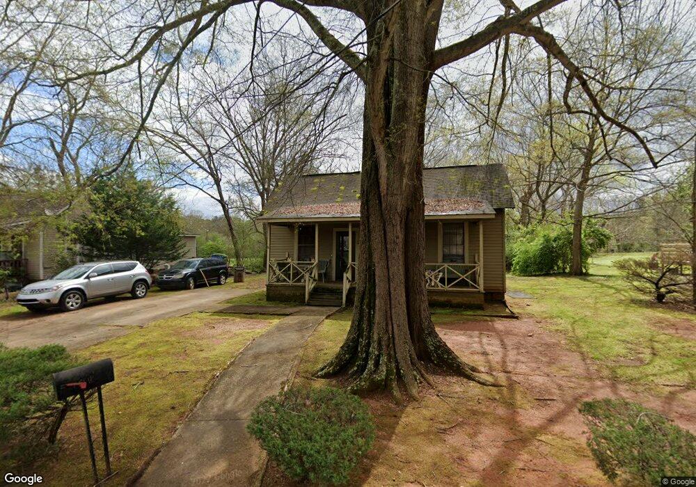
1303 Lindsey St Lagrange, GA 30240
Estimated Value: $74,000 - $111,000
2
Beds
1
Bath
1,024
Sq Ft
$85/Sq Ft
Est. Value
About This Home
This home is located at 1303 Lindsey St, Lagrange, GA 30240 and is currently estimated at $86,726, approximately $84 per square foot. 1303 Lindsey St is a home located in Troup County with nearby schools including Berta Weathersbee Elementary School, Whitesville Road Elementary School, and Rosemont Elementary School.
Ownership History
Date
Name
Owned For
Owner Type
Purchase Details
Closed on
Feb 20, 2004
Sold by
Debra Truman and Debra Estes
Bought by
Alford Peter T
Current Estimated Value
Purchase Details
Closed on
Sep 11, 2002
Sold by
Jessie Heard
Bought by
Debra Truman and Debra Estes
Purchase Details
Closed on
Jan 9, 1981
Sold by
Mrs Hazel R Leonard
Bought by
Jessie Heard
Purchase Details
Closed on
Jan 1, 1950
Bought by
Mrs Hazel R Leonard
Create a Home Valuation Report for This Property
The Home Valuation Report is an in-depth analysis detailing your home's value as well as a comparison with similar homes in the area
Purchase History
| Date | Buyer | Sale Price | Title Company |
|---|---|---|---|
| Alford Peter T | $41,500 | -- | |
| Debra Truman | $20,000 | -- | |
| Jessie Heard | $2,400 | -- | |
| Mrs Hazel R Leonard | -- | -- |
Source: Public Records
Tax History
| Year | Tax Paid | Tax Assessment Tax Assessment Total Assessment is a certain percentage of the fair market value that is determined by local assessors to be the total taxable value of land and additions on the property. | Land | Improvement |
|---|---|---|---|---|
| 2025 | $660 | $30,480 | $8,000 | $22,480 |
| 2024 | $660 | $24,200 | $4,000 | $20,200 |
| 2023 | $583 | $21,360 | $4,000 | $17,360 |
| 2022 | $568 | $20,360 | $4,000 | $16,360 |
| 2021 | $527 | $17,480 | $4,000 | $13,480 |
| 2020 | $527 | $17,480 | $4,000 | $13,480 |
| 2019 | $413 | $13,680 | $2,240 | $11,440 |
| 2018 | $412 | $13,672 | $2,232 | $11,440 |
| 2017 | $412 | $13,672 | $2,232 | $11,440 |
| 2016 | $407 | $13,494 | $2,232 | $11,262 |
| 2015 | $408 | $13,494 | $2,232 | $11,262 |
| 2014 | $398 | $13,165 | $2,232 | $10,933 |
| 2013 | -- | $14,035 | $2,232 | $11,803 |
Source: Public Records
Map
Nearby Homes
- 1301 Polk St
- 1302 Murphy Ave
- 1300 Murphy Ave
- 1311 Juniper St
- 1186 Lindsey St
- 1205 Park Ave
- 1308 Park Ave
- 1201 Whitesville St
- 1191 Whitesville St
- 900 B N Pkwy
- 914 Todd St
- 1808 Murphy Ave
- 606 Poplar St
- 0 Bagley St
- 101 Cedar St
- 304 Butler St
- LOT 33 E Hillside Dr
- LOT 34 E Hillside Dr
- 1308 Forrest Ave
- 0 Boggs St Unit 10550243
Your Personal Tour Guide
Ask me questions while you tour the home.