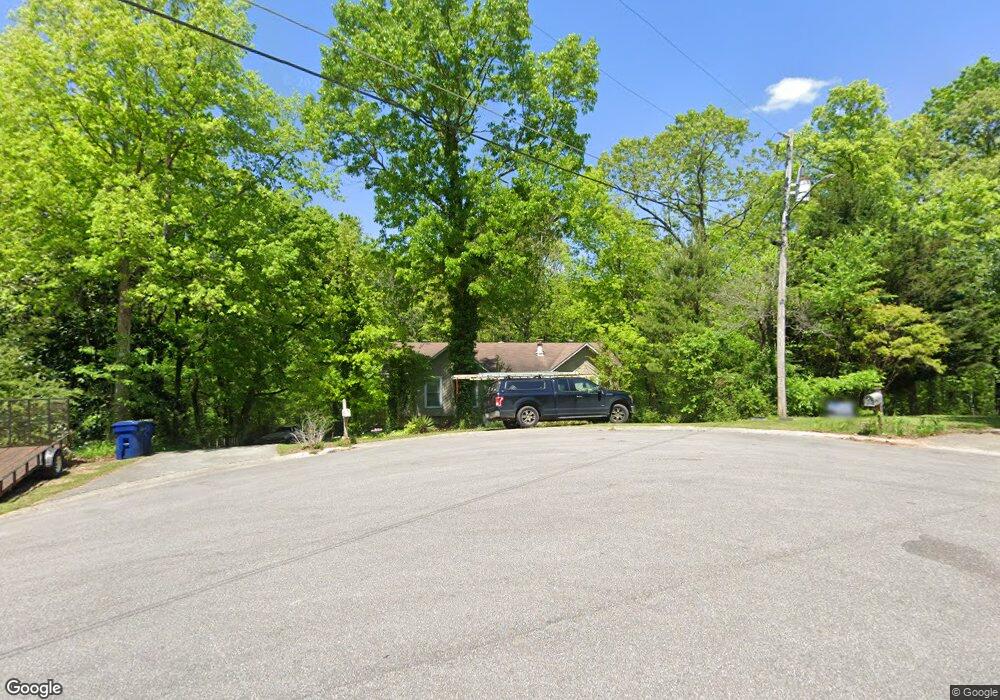
1303 Michael Cir Alabaster, AL 35007
Estimated Value: $236,000 - $302,000
Studio
1
Bath
1,918
Sq Ft
$136/Sq Ft
Est. Value
About This Home
This home is located at 1303 Michael Cir, Alabaster, AL 35007 and is currently estimated at $261,273, approximately $136 per square foot. 1303 Michael Cir is a home located in Shelby County with nearby schools including Thompson Intermediate School, Thompson Middle School, and Thompson High School.
Ownership History
Date
Name
Owned For
Owner Type
Purchase Details
Closed on
Nov 16, 2021
Sold by
Griffen Lawrence W and Griffen Laurie A
Bought by
Lane Kye Lamar
Current Estimated Value
Home Financials for this Owner
Home Financials are based on the most recent Mortgage that was taken out on this home.
Original Mortgage
$178,212
Outstanding Balance
$163,301
Interest Rate
2.99%
Mortgage Type
FHA
Estimated Equity
$97,972
Purchase Details
Closed on
Jun 30, 2005
Sold by
Burnett Mark W and Burnett Barri B
Bought by
Griffen Lawrence W and Griffen Laurie A
Home Financials for this Owner
Home Financials are based on the most recent Mortgage that was taken out on this home.
Original Mortgage
$134,900
Interest Rate
7.7%
Mortgage Type
Unknown
Create a Home Valuation Report for This Property
The Home Valuation Report is an in-depth analysis detailing your home's value as well as a comparison with similar homes in the area
Home Values in the Area
Average Home Value in this Area
Purchase History
| Date | Buyer | Sale Price | Title Company |
|---|---|---|---|
| Lane Kye Lamar | $181,500 | None Available | |
| Griffen Lawrence W | $128,000 | -- |
Source: Public Records
Mortgage History
| Date | Status | Borrower | Loan Amount |
|---|---|---|---|
| Open | Lane Kye Lamar | $178,212 | |
| Previous Owner | Griffen Lawrence W | $134,900 |
Source: Public Records
Tax History
| Year | Tax Paid | Tax Assessment Tax Assessment Total Assessment is a certain percentage of the fair market value that is determined by local assessors to be the total taxable value of land and additions on the property. | Land | Improvement |
|---|---|---|---|---|
| 2024 | $1,282 | $23,740 | $0 | $0 |
| 2023 | $1,150 | $22,060 | $0 | $0 |
| 2022 | $2,158 | $39,960 | $0 | $0 |
| 2021 | $1,982 | $36,700 | $0 | $0 |
| 2020 | $1,759 | $32,580 | $0 | $0 |
| 2019 | $1,699 | $31,460 | $0 | $0 |
| 2017 | $1,648 | $30,520 | $0 | $0 |
| 2015 | $1,591 | $29,460 | $0 | $0 |
| 2014 | $737 | $14,400 | $0 | $0 |
Source: Public Records
Map
Nearby Homes
- 1509 Mitch Ln
- 1511 Mitch Ln
- 1507 Mitch Ln
- 1513 Mitch Ln
- 123 Wooten Rd
- 314 Forest Hills Ln
- 302 Fran Dr
- 46 Scottsdale Dr
- 1718 Fulton Springs Rd
- 211 Mountain Lake Trail
- 307 Fran Ln
- 0 Montevallo Rd Unit 1344829
- 8452 Highway 119
- 100 Riviera Run
- 101 Forest Hills Terrace
- 2040 Butler Rd
- 2022 Butler Rd
- 300 Lenoir Place
- 200 Riviera Run
- 408 Willow Glen Dr
- 1304 Michael Cir
- 1301 Michael Cir
- 2020 Diane Ln
- 1201 Michael Dr
- 1121 Henry Dr
- 2022 Diane Ln
- 2016 Diane Ln
- 1302 Michael Cir
- 1205 Michael Dr
- 1119 Henry Dr
- 2024 Diane Ln
- 1202 Michael Dr
- 2017 Diane Ln
- 2019 Diane Ln
- 1200 Michael Dr
- 1204 Michael Dr
- 1207 Michael Dr
- 1118 Henry Dr
- 2021 Diane Ln
- 2015 Diane Ln
Your Personal Tour Guide
Ask me questions while you tour the home.