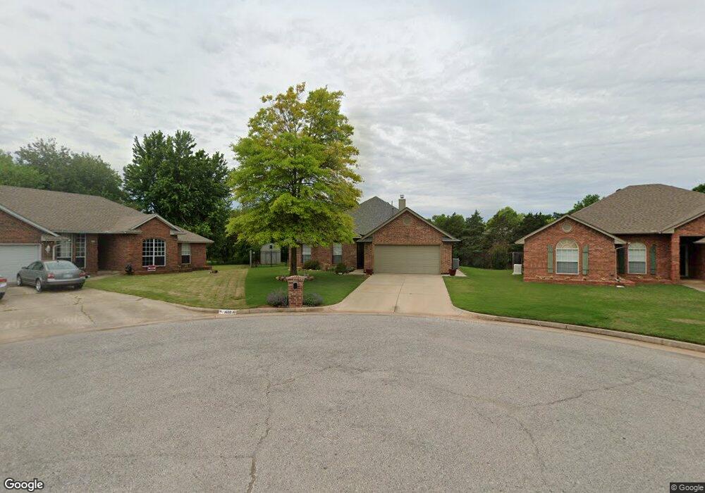
1303 N Locust Terrace Mustang, OK 73064
Estimated Value: $250,820 - $324,000
4
Beds
2
Baths
1,828
Sq Ft
$153/Sq Ft
Est. Value
About This Home
This home is located at 1303 N Locust Terrace, Mustang, OK 73064 and is currently estimated at $280,455, approximately $153 per square foot. 1303 N Locust Terrace is a home located in Canadian County with nearby schools including Mustang Elementary School, Mustang Horizon Intermediate School, and Mustang Middle School.
Ownership History
Date
Name
Owned For
Owner Type
Purchase Details
Closed on
Sep 9, 2021
Sold by
Mckeehan Michael John and Mckeehan Susan G
Bought by
Mckeehan Family Trust
Current Estimated Value
Purchase Details
Closed on
Apr 20, 1993
Sold by
Heartland Homes Ltd Ptnrshp
Bought by
Mckeehan Michael J and Mckeehan Susan G
Purchase Details
Closed on
Nov 25, 1992
Sold by
Community Bank & Trust Co
Purchase Details
Closed on
Apr 3, 1991
Purchase Details
Closed on
Jan 4, 1990
Create a Home Valuation Report for This Property
The Home Valuation Report is an in-depth analysis detailing your home's value as well as a comparison with similar homes in the area
Home Values in the Area
Average Home Value in this Area
Purchase History
| Date | Buyer | Sale Price | Title Company |
|---|---|---|---|
| Mckeehan Family Trust | -- | None Available | |
| Mckeehan Family Trust | -- | None Listed On Document | |
| Mckeehan Michael J | $78,700 | -- | |
| -- | $78,700 | -- | |
| -- | -- | -- | |
| -- | $9,500 | -- |
Source: Public Records
Tax History Compared to Growth
Tax History
| Year | Tax Paid | Tax Assessment Tax Assessment Total Assessment is a certain percentage of the fair market value that is determined by local assessors to be the total taxable value of land and additions on the property. | Land | Improvement |
|---|---|---|---|---|
| 2024 | $2,019 | $21,251 | $2,160 | $19,091 |
| 2023 | $2,019 | $20,238 | $2,160 | $18,078 |
| 2022 | $1,946 | $19,275 | $2,160 | $17,115 |
| 2021 | $1,861 | $18,357 | $2,160 | $16,197 |
| 2020 | $1,917 | $18,791 | $2,160 | $16,631 |
| 2019 | $1,900 | $18,629 | $2,160 | $16,469 |
| 2018 | $1,849 | $17,742 | $2,160 | $15,582 |
| 2017 | $1,851 | $17,963 | $2,135 | $15,828 |
| 2016 | $1,766 | $17,963 | $2,107 | $15,856 |
| 2015 | $1,611 | $16,293 | $1,929 | $14,364 |
| 2014 | $1,611 | $15,517 | $1,800 | $13,717 |
Source: Public Records
Map
Nearby Homes
- 1423 E Twin Brook Terrace
- 1551 N Morgan Rd
- 613 N Country Club Terrace
- 10301 SW 56th St
- 10300 SW 55th St
- 10309 SW 56th St
- 10313 SW 56th St
- 1713 E Frontier Terrace
- 10317 SW 56th St
- 10301 SW 55th St
- 10305 SW 55th St
- 10309 SW 55th St
- 10313 SW 55th St
- 10317 SW 55th St
- 10321 SW 55th St
- 1738 E Frontier Terrace
- 424 N Mitchell Terrace
- 227 N Carol Terrace
- 1885 E Sherwood Terrace
- 1712 E Cottonwood Terrace
- 1307 N Locust Terrace
- 1311 N Locust Terrace
- 1600 N Locust Terrace
- 1516 N Lilac Terrace
- 1604 N Locust Terrace
- 1312 N Lilac Terrace
- 1315 N Locust Terrace
- 1611 N Locust Terrace
- 1608 N Locust Terrace
- 1512 N Lilac Terrace
- 1532 E Twin Brook Terrace
- 1612 N Locust Terrace
- 1528 E Twin Brook Terrace
- 1320 N Locust Terrace
- 1615 N Locust Terrace
- 1555 E Lakin Terrace
- 1616 N Locust Terrace
- 1520 E Twin Brook Terrace
- 1504 N Lilac Terrace
- 1587 E Lakin Terrace