Estimated Value: $227,000 - $283,635
3
Beds
2
Baths
1,717
Sq Ft
$143/Sq Ft
Est. Value
About This Home
This home is located at 13031 N Forest Dr E Unit E, Axis, AL 36505 and is currently estimated at $246,212, approximately $143 per square foot. 13031 N Forest Dr E Unit E is a home located in Mobile County with nearby schools including North Mobile County Middle School and Citronelle High School.
Ownership History
Date
Name
Owned For
Owner Type
Purchase Details
Closed on
May 10, 2012
Sold by
Evans Carolyn Covington
Bought by
Wetherington Jimmy D
Current Estimated Value
Home Financials for this Owner
Home Financials are based on the most recent Mortgage that was taken out on this home.
Original Mortgage
$19,000
Interest Rate
4.01%
Mortgage Type
Unknown
Purchase Details
Closed on
Mar 10, 2007
Sold by
Stoker Bennett and Stoker Marilyn M
Bought by
Wetherington Jimmy D and Wetherington Shirley D
Purchase Details
Closed on
Nov 24, 1999
Sold by
Pardue Reed Kathryn E and Pardue Reed Kathryn
Bought by
Stoker Bennett and Stoker Marilyn M
Home Financials for this Owner
Home Financials are based on the most recent Mortgage that was taken out on this home.
Original Mortgage
$85,000
Interest Rate
7.89%
Mortgage Type
VA
Create a Home Valuation Report for This Property
The Home Valuation Report is an in-depth analysis detailing your home's value as well as a comparison with similar homes in the area
Purchase History
| Date | Buyer | Sale Price | Title Company |
|---|---|---|---|
| Wetherington Jimmy D | -- | None Available | |
| Wetherington Jimmy D | -- | None Available | |
| Stoker Bennett | -- | -- |
Source: Public Records
Mortgage History
| Date | Status | Borrower | Loan Amount |
|---|---|---|---|
| Closed | Wetherington Jimmy D | $19,000 | |
| Previous Owner | Stoker Bennett | $85,000 |
Source: Public Records
Tax History
| Year | Tax Paid | Tax Assessment Tax Assessment Total Assessment is a certain percentage of the fair market value that is determined by local assessors to be the total taxable value of land and additions on the property. | Land | Improvement |
|---|---|---|---|---|
| 2025 | $859 | $21,600 | $4,230 | $17,370 |
| 2024 | $801 | $20,030 | $4,000 | $16,030 |
| 2023 | $826 | $19,050 | $3,730 | $15,320 |
| 2022 | $760 | $19,070 | $3,600 | $15,470 |
| 2021 | $707 | $17,780 | $3,180 | $14,600 |
| 2020 | $719 | $18,080 | $3,180 | $14,900 |
| 2019 | $645 | $16,330 | $3,180 | $13,150 |
| 2018 | $731 | $16,460 | $0 | $0 |
| 2017 | $751 | $16,860 | $0 | $0 |
| 2016 | $757 | $16,980 | $0 | $0 |
| 2013 | $686 | $15,400 | $0 | $0 |
Source: Public Records
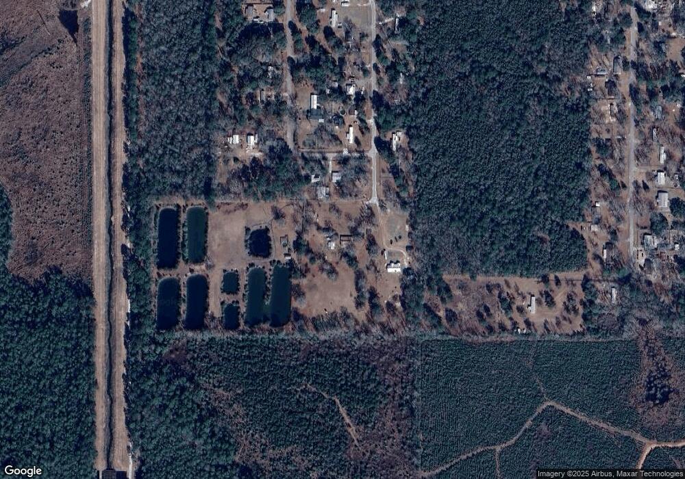
Map
Nearby Homes
- 13040 N Forest Dr E
- 0 Salco Rd Unit 7523872
- 0 Salco Rd Unit 25596290
- 0 Salco Rd Unit 2
- 1135 Timber Creek Dr
- 0 Timber Creek Ct Unit 7664052
- 1251 Timber Creek Dr N
- 1256 Timber Creek Dr
- 12865 Highway 43 N
- 0 Lucas Rd Unit 7685894
- 11525 Highway 43 N
- 11475 Highway 43 N
- 11286 Old Us Highway 43
- 11286 Highway 43
- 864 Country Ln
- 565 Wilson Blvd
- 635 Wilson Blvd
- 760 Wilson Blvd
- 0 Highway 43 N Unit 7730662
- 0 Highway 43 N Unit 7730616
- 13031 N Forest Dr E Unit C
- 13030 N Forest Dr E Unit E
- 0 N Forest Dr E Unit 199135
- 0 N Forest Dr E Unit 216843
- 0 N Forest Dr Unit 542715
- 0 N Forest Dr Unit 530073
- 525 Lynn Dr
- 13100 N Forest Dr W Unit W
- 13031 N Forest Dr E
- 13075 N Forest Dr W
- 13095 N Forest Dr E
- 13100 N Forest Dr E
- 13119 N Forest Dr E Unit E
- 13130 N Forest Dr W Unit W
- 13121 N Forest Dr E
- 13121 N Forest Dr W
- 13150 N Forest Dr E
- 13151 N Forest Dr W Unit W
- 601 Salco Rd W
- 365 Salco Rd W
Your Personal Tour Guide
Ask me questions while you tour the home.