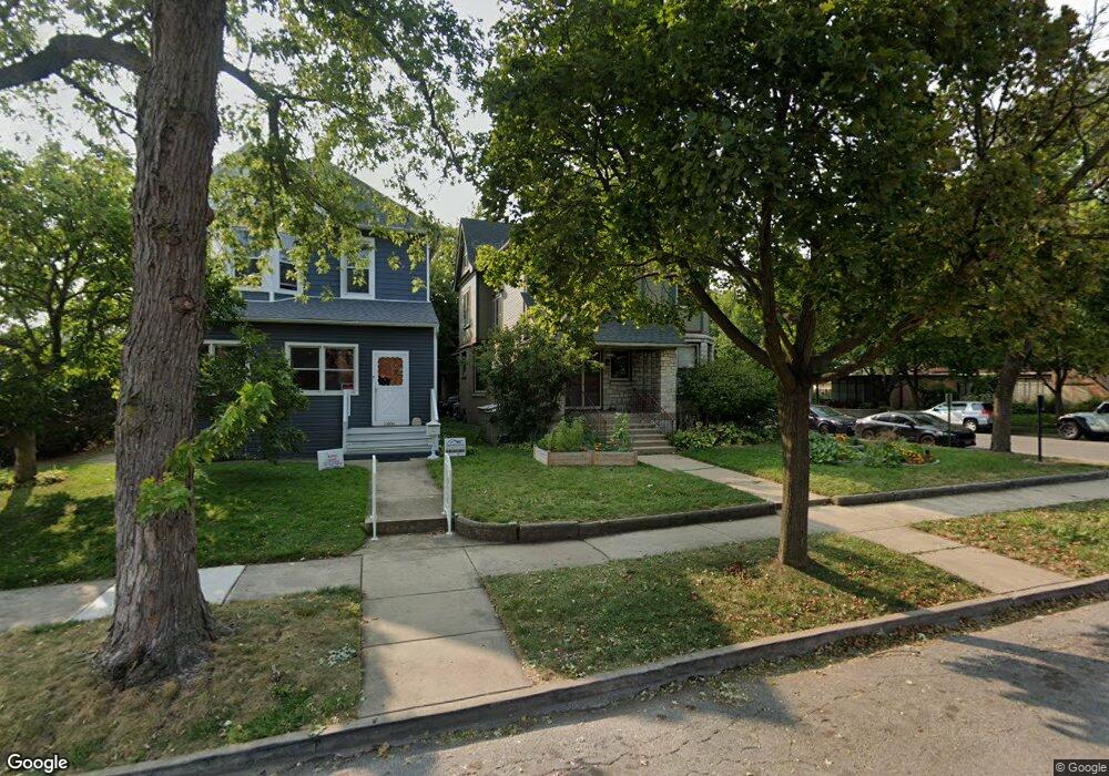
13032 Greenwood Ave Blue Island, IL 60406
Estimated Value: $269,443 - $388,000
4
Beds
2
Baths
2,221
Sq Ft
$146/Sq Ft
Est. Value
About This Home
This home is located at 13032 Greenwood Ave, Blue Island, IL 60406 and is currently estimated at $324,861, approximately $146 per square foot. 13032 Greenwood Ave is a home located in Cook County with nearby schools including Whittier Elementary School, Lincoln Elementary School, and Everett F Kerr Middle School.
Ownership History
Date
Name
Owned For
Owner Type
Purchase Details
Closed on
Jun 21, 2017
Sold by
Breems Bradley G and Breems Helen J
Bought by
Powell Jonathan
Current Estimated Value
Home Financials for this Owner
Home Financials are based on the most recent Mortgage that was taken out on this home.
Original Mortgage
$194,000
Outstanding Balance
$161,368
Interest Rate
4.02%
Mortgage Type
New Conventional
Estimated Equity
$163,493
Create a Home Valuation Report for This Property
The Home Valuation Report is an in-depth analysis detailing your home's value as well as a comparison with similar homes in the area
Home Values in the Area
Average Home Value in this Area
Purchase History
| Date | Buyer | Sale Price | Title Company |
|---|---|---|---|
| Powell Jonathan | $200,000 | Attorney |
Source: Public Records
Mortgage History
| Date | Status | Borrower | Loan Amount |
|---|---|---|---|
| Open | Powell Jonathan | $194,000 |
Source: Public Records
Tax History Compared to Growth
Tax History
| Year | Tax Paid | Tax Assessment Tax Assessment Total Assessment is a certain percentage of the fair market value that is determined by local assessors to be the total taxable value of land and additions on the property. | Land | Improvement |
|---|---|---|---|---|
| 2024 | $7,664 | $23,001 | $3,416 | $19,585 |
| 2023 | $6,935 | $23,001 | $3,416 | $19,585 |
| 2022 | $6,935 | $17,945 | $2,970 | $14,975 |
| 2021 | $6,581 | $17,945 | $2,970 | $14,975 |
| 2020 | $6,501 | $17,945 | $2,970 | $14,975 |
| 2019 | $6,435 | $17,710 | $2,673 | $15,037 |
| 2018 | $7,627 | $17,710 | $2,673 | $15,037 |
| 2017 | $7,723 | $17,710 | $2,673 | $15,037 |
| 2016 | $4,738 | $15,395 | $2,227 | $13,168 |
| 2015 | $4,843 | $15,395 | $2,227 | $13,168 |
| 2014 | $4,791 | $15,395 | $2,227 | $13,168 |
| 2013 | $5,376 | $15,924 | $2,227 | $13,697 |
Source: Public Records
Map
Nearby Homes
- 2537 Grove St
- 2620 Vermont St
- 13221 Western Ave
- 2336 Union St Unit 3
- 2336 Union St Unit 4
- 2335 Walnut St
- 2441 Prairie St
- 2629 Broadway St
- 2824 Union St
- 12807 Mozart St
- 13346 Irving Ave
- 13430 Ann St
- 12609 Maple Ave
- 12602 Artesian Ave
- 2042 Grove St
- 2745 Desplaines St
- 12638 Irving Ave
- 12547 Greenwood Ave
- 13134 Sacramento Ave
- 12620 Irving Ave